Canada - Yukon, North BC & NWT 2025
In 2022, on our away back south, quickly driving through the Northern Rockies, we decided we needed to a revisit this area (as beautiful as the southern ones are, but with far-less people and less developed IMO) with a longer timeframe. And as we were in the general vicinity, we might as well go into the Northwest Territories for the first time and go visit Yellowknife.
As the trip duration was limited to about 2 weeks, although possible to do it, I decided driving from either Vancouver or Calgary and back was not an efficient use of time, so for the first time we would fly to Whitehorse from Vancouver on Air North. I did consider Yellowknife, but car rental there was neither cost efficient or too restrictive.
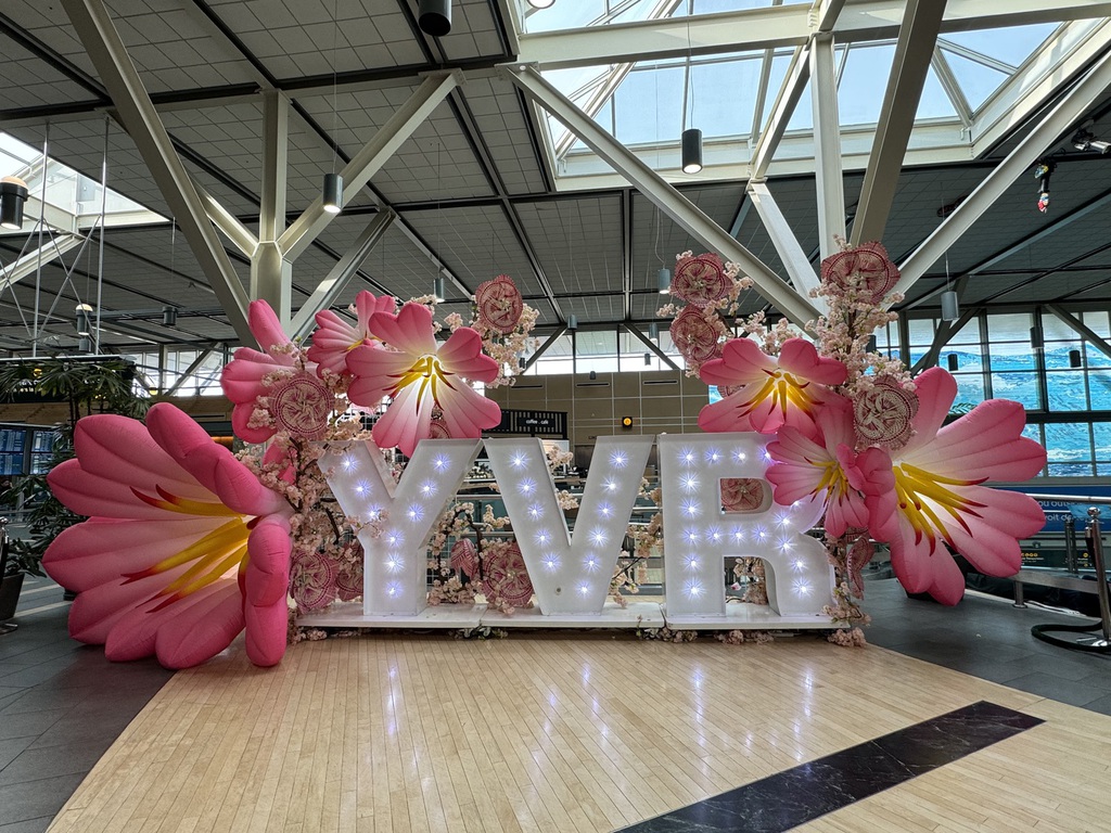
Day 1 - London to Vancouver
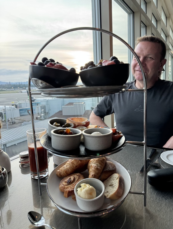
We had a relatively late arrival into YVR, so we decided to stay at the airport, at the Fairmont. I actually got a pretty good rate close to arrival with breakfast compared to rates a few months out.
Day 2 - Vancouver to Whitehorse
I had originally hoped to get an early flight to Whitehorse and planned to drive to Carmacks to set us up for the drive on the Robert Campbell highway to Watson Lake the next day. But Air North changed their schedule to a late afternoon arrival and so eventually, we settled on an overnight in Whitehorse after picking up the rental.
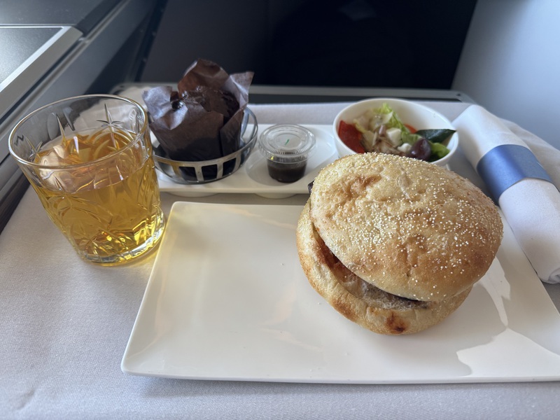
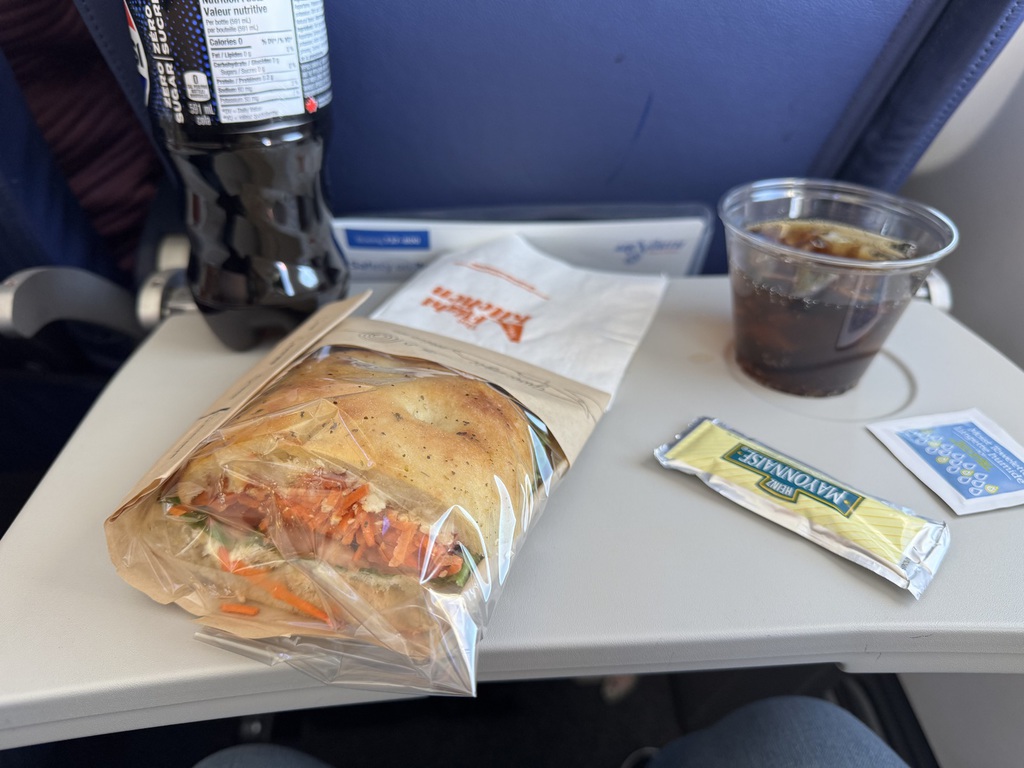
The Air North flight was good for all coach, nice sandwich, and I suggest anyone thinking of using it connecting to an international flight check out their “Connector fares”.
On time arrival and then to collect the rental car. I had booked with Driving Force, a Canadian company with nationwide coverage, mainly serving the business trade. They allow their vehicles on gravel roads and were a pleasure to deal with. There are not a lot of rental options in Whitehorse, the only major being Budget, who were not good at answering queries, even if a bit cheaper (but no gravel roads if T&Cs taken at face value).
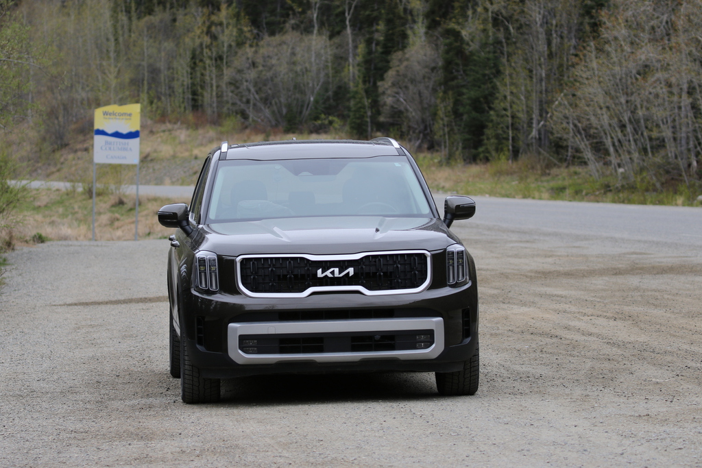
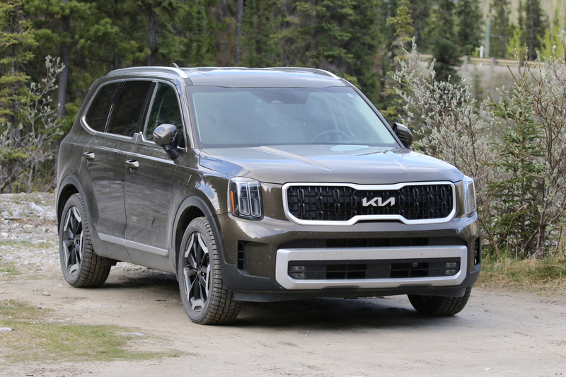
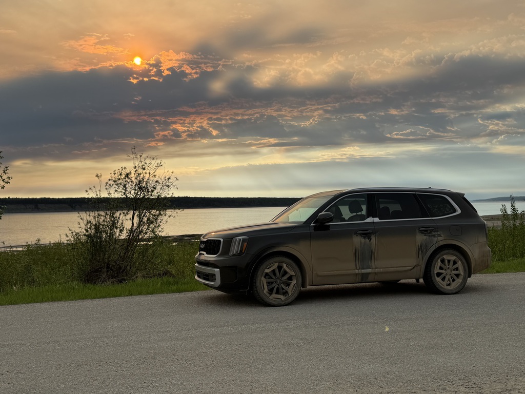
We picked up a 2024 KIA Telluride, named him ‘RAH’ due to his plate and went to Walmart and then to our usual hotel in Whitehorse, the Best Western Gold Rush Inn, at which parking was a premium due the new hotel development next door, but I sorted it with on-street parking right outside the hotel when the meter restriction ended.
Then a drink or two in the bar and then bed for an early start next day.
Km/miles driven: 14km/9m.
Day 3 - Whitehorse ton Watson Lake
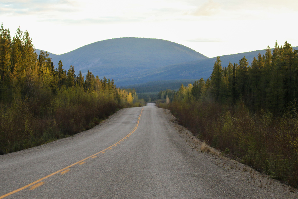
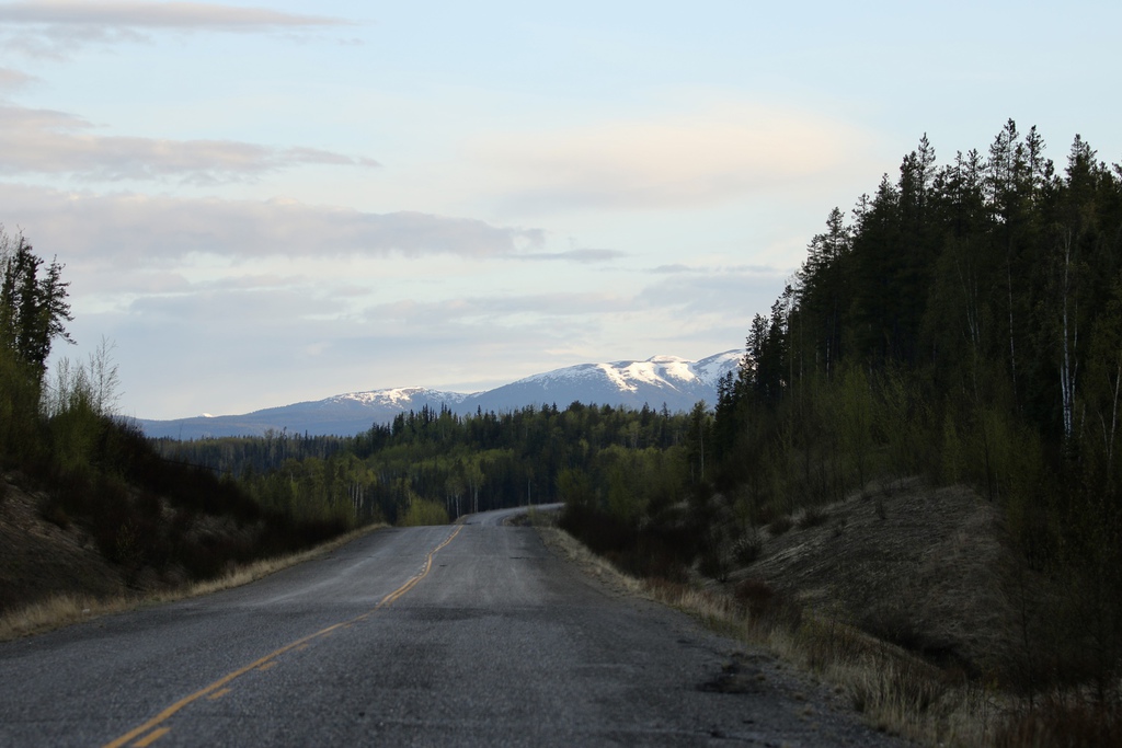
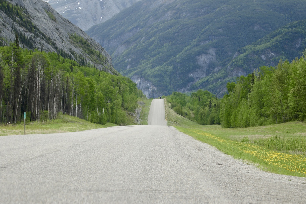
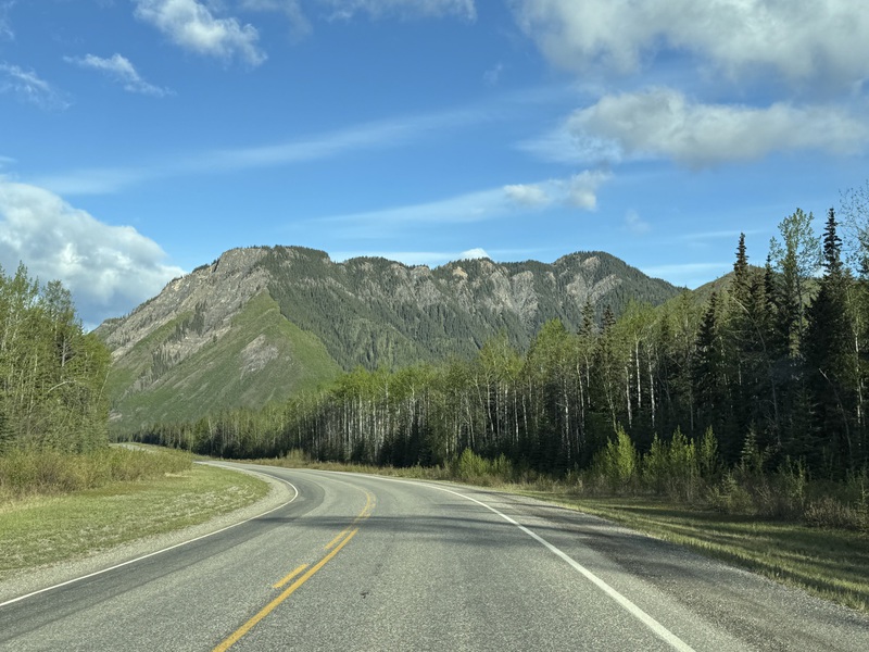
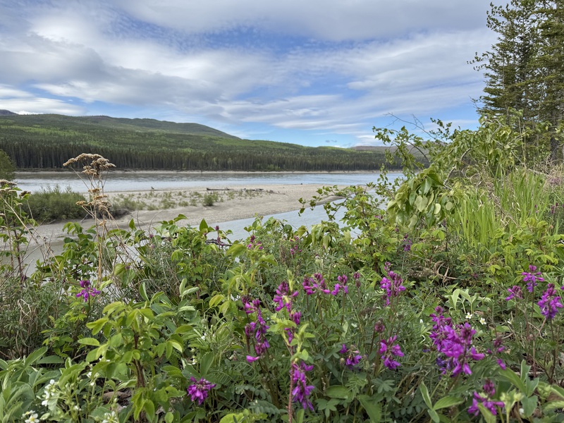
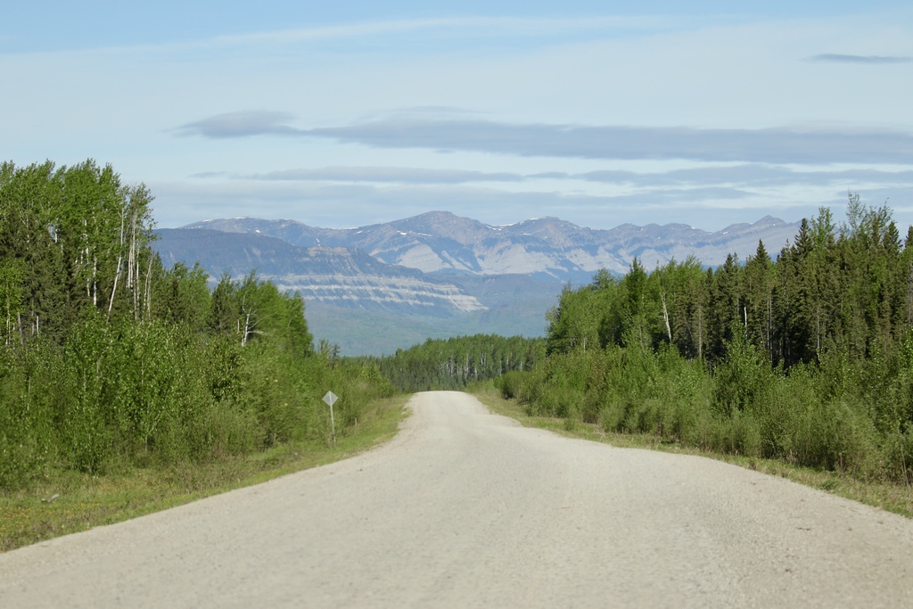
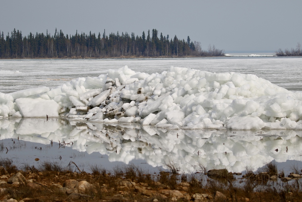
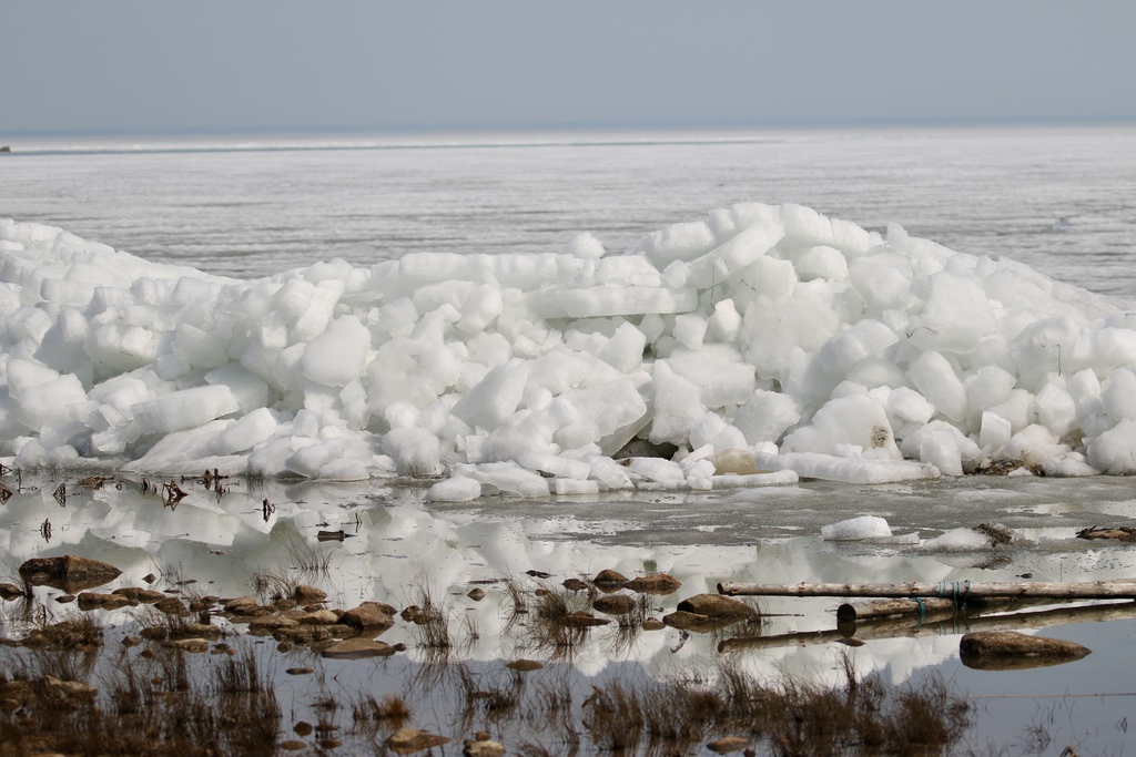
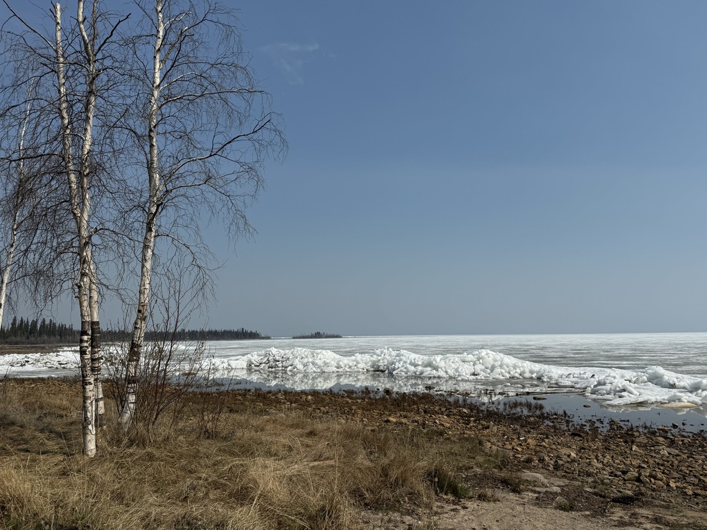
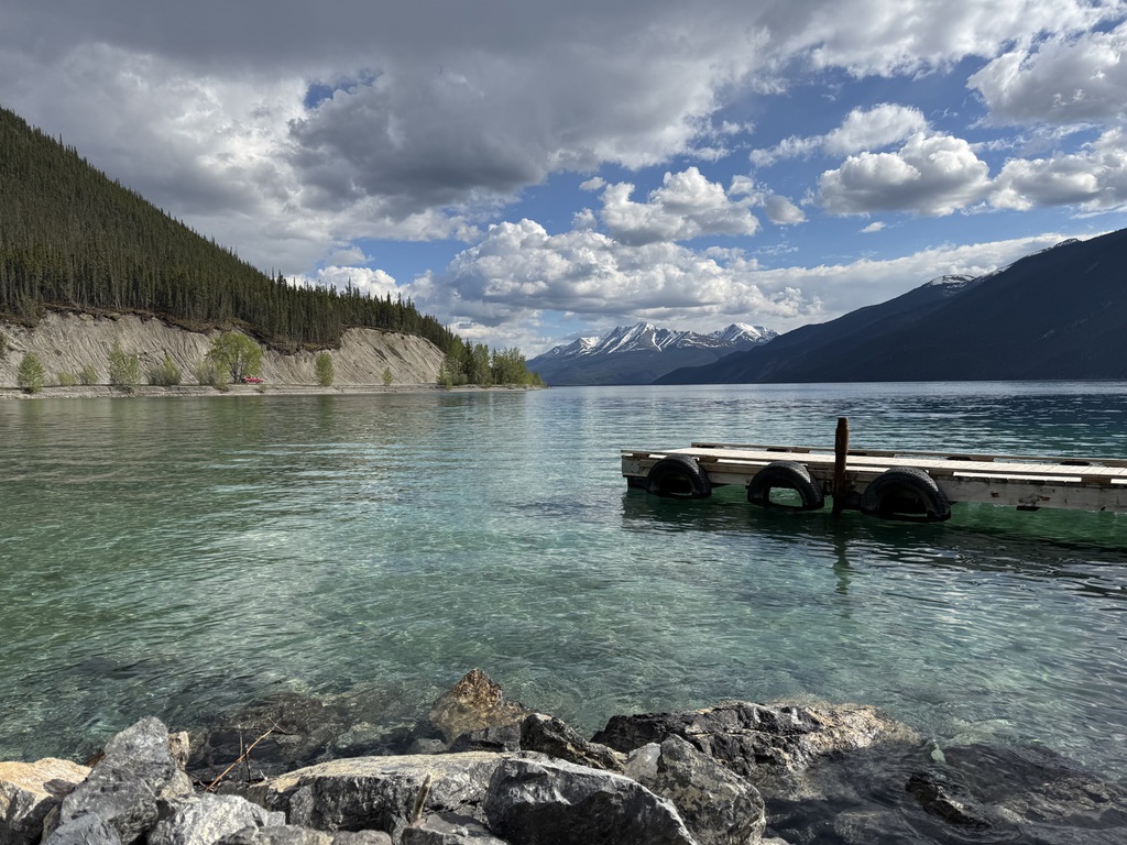
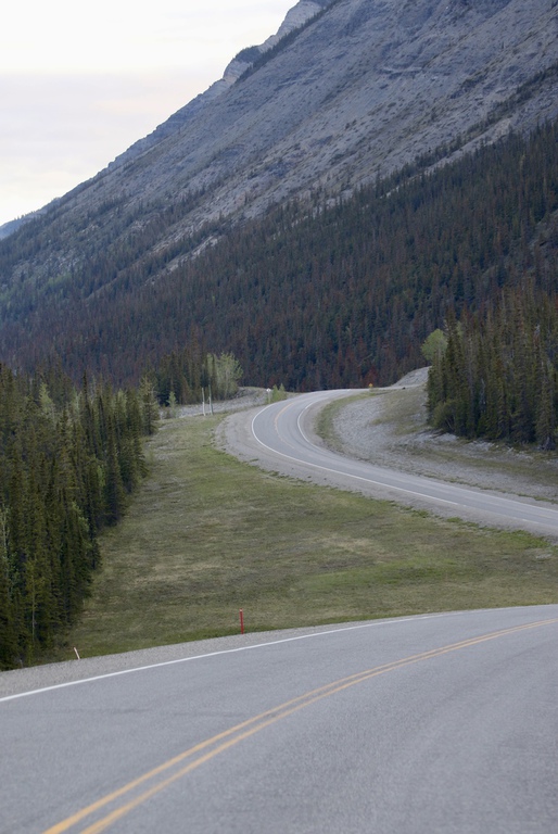
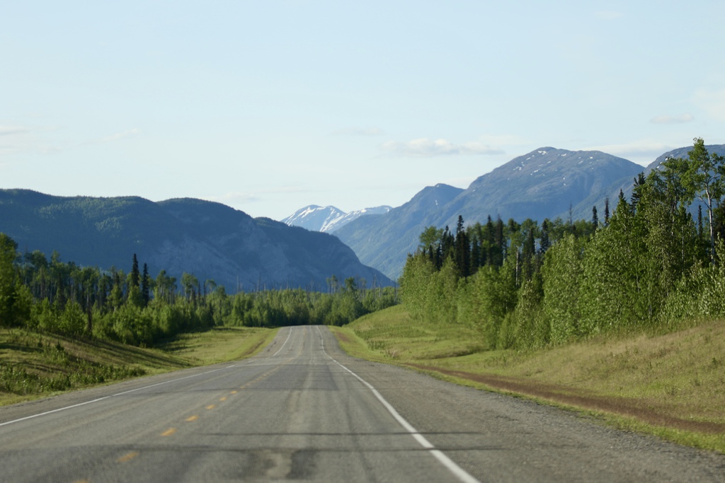
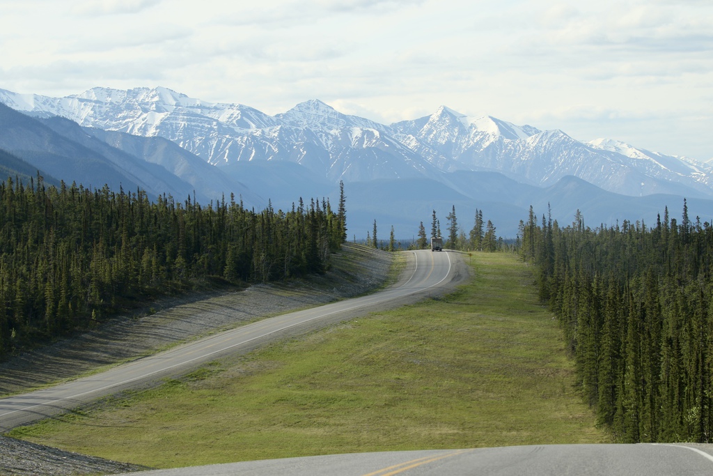
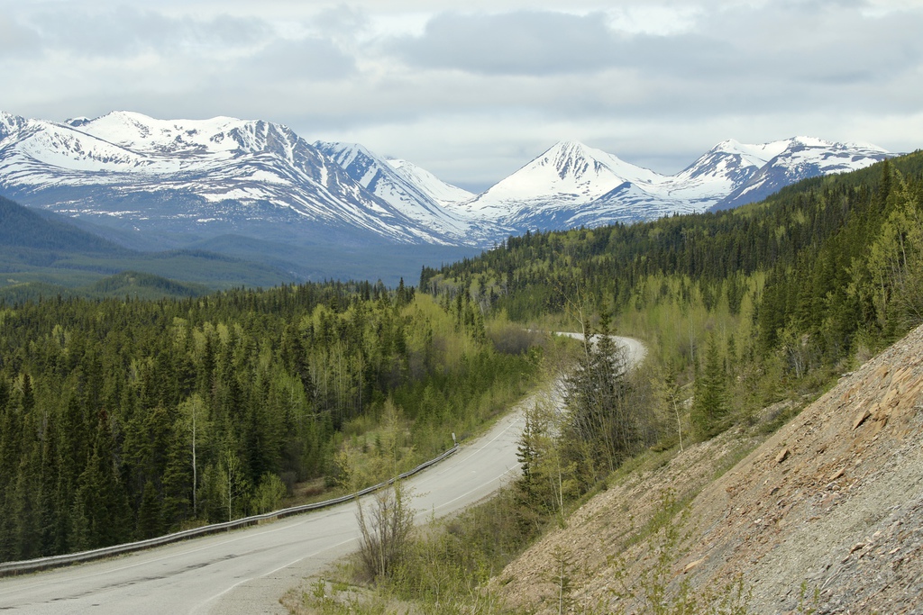
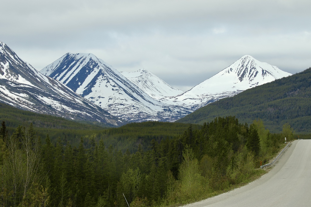
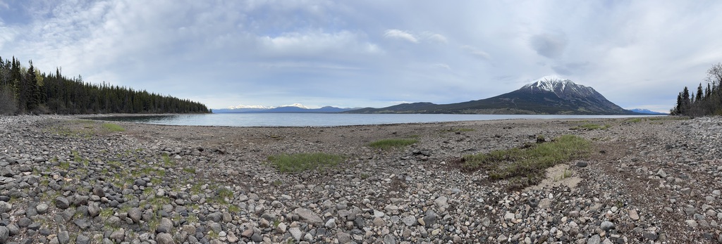
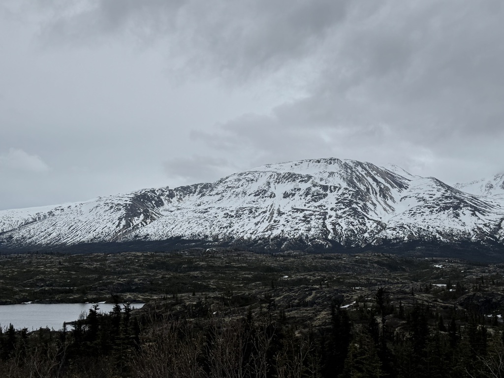
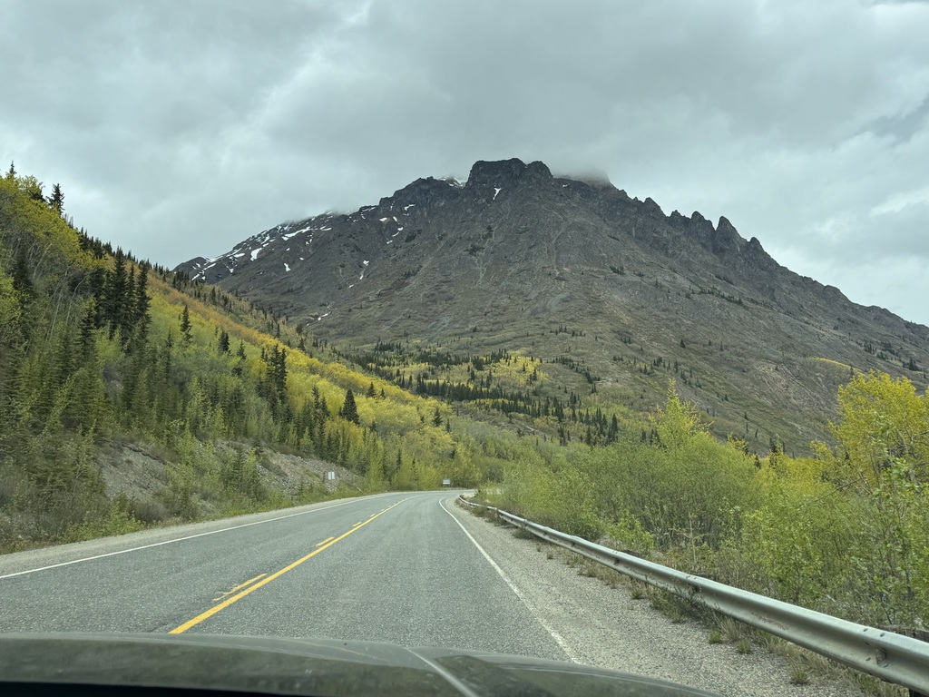
I had still planned to drive the Robert Campbell, (Hwy 40, despite the extra 2 hours starting in Whitehorse), but the weather forecast was for rain, possibly heavy and that road is narrow and can be slick if wet. Plus, the extra time it would add to an 11-hour base drive, so we decided that was for another time. Instead, we would return to an old favorite, the South Klondike, hoping for an early wildlife fix.
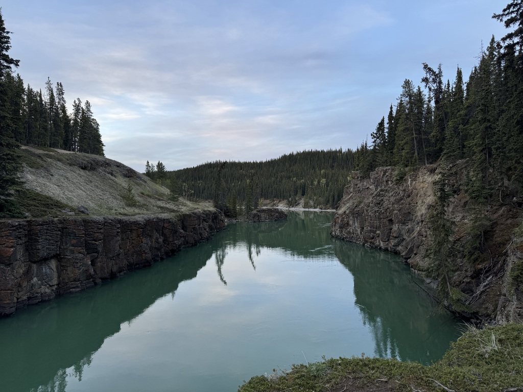
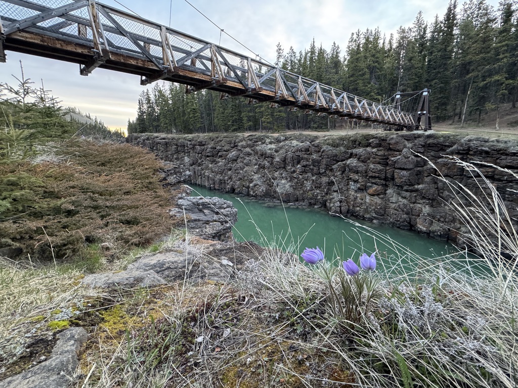
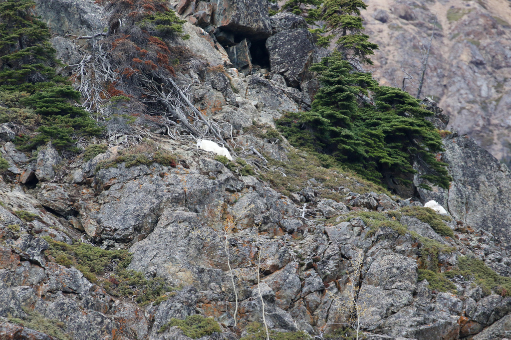
We left just after dawn, and after failing once again to see any otters at Miles Canyon, we, again as expected, didn’t see much other wildlife until we got south of Carcross.
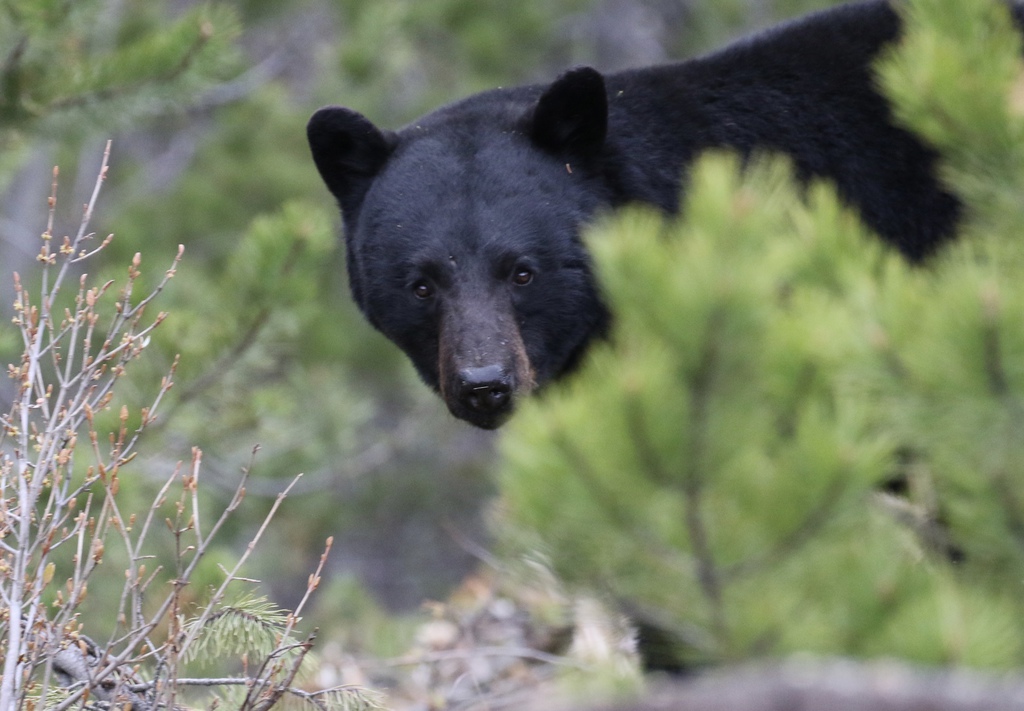
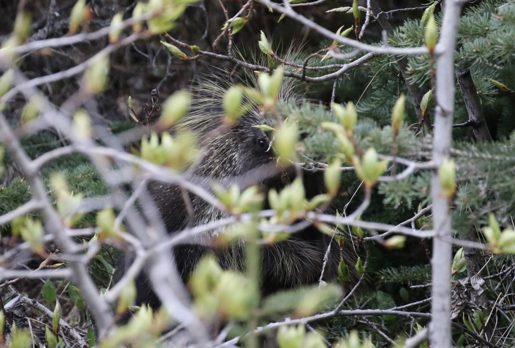
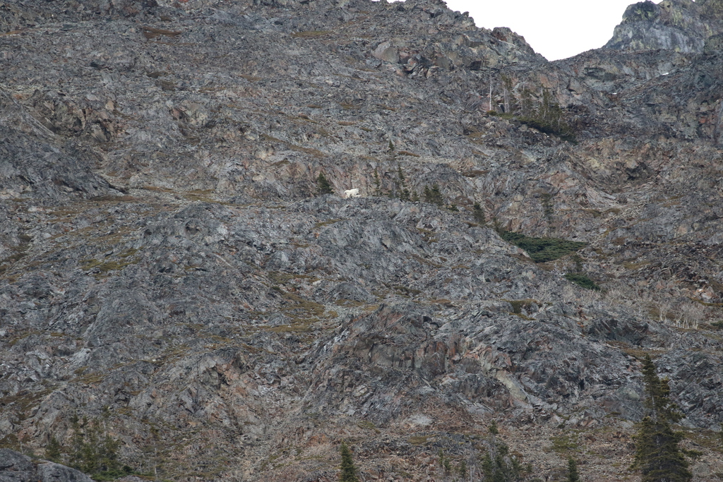
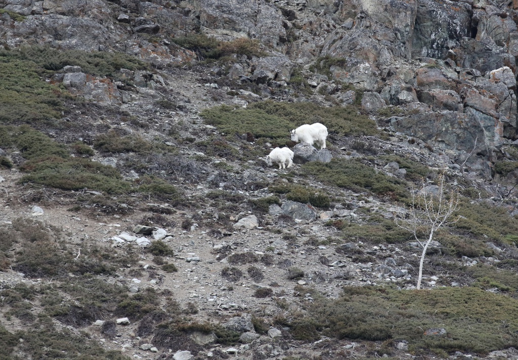
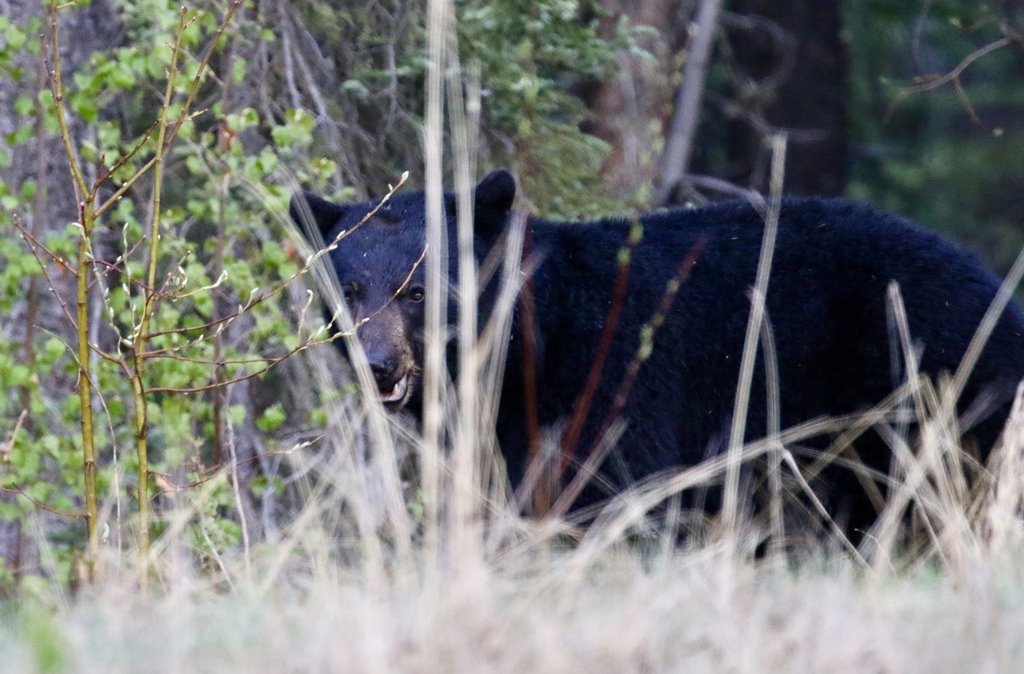
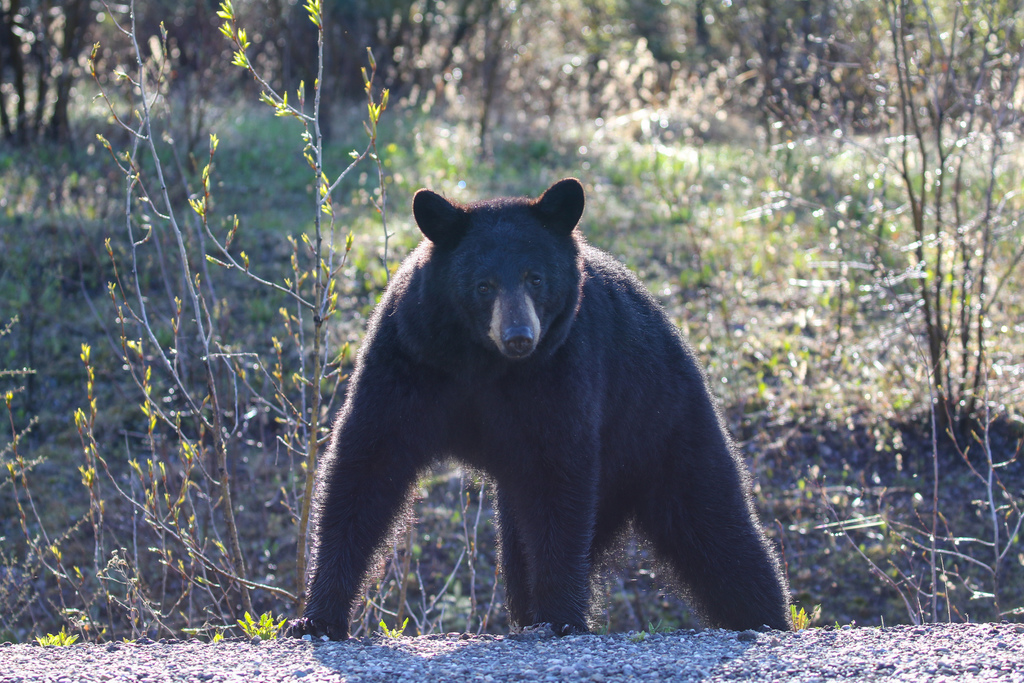
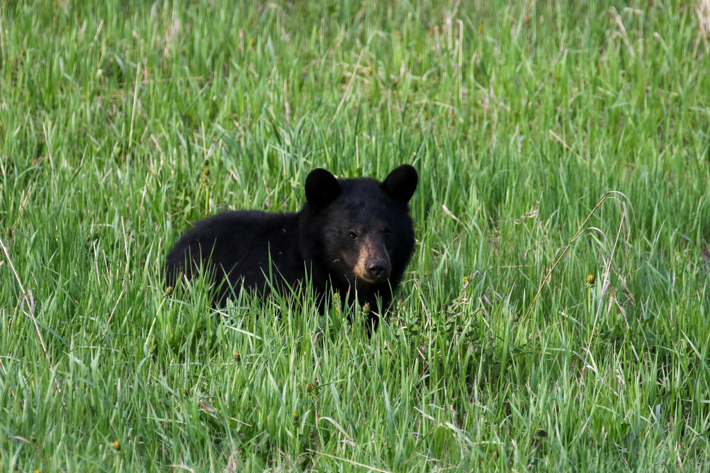
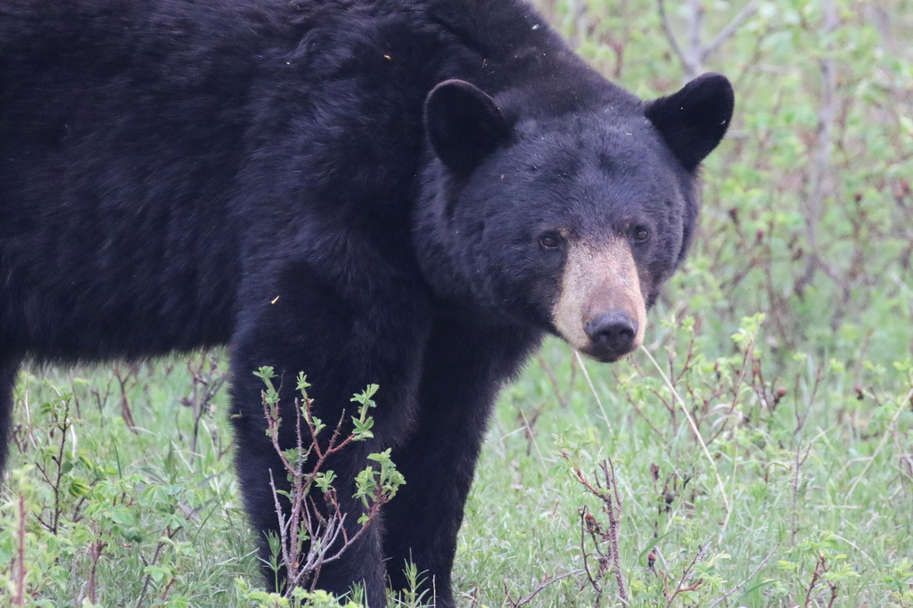
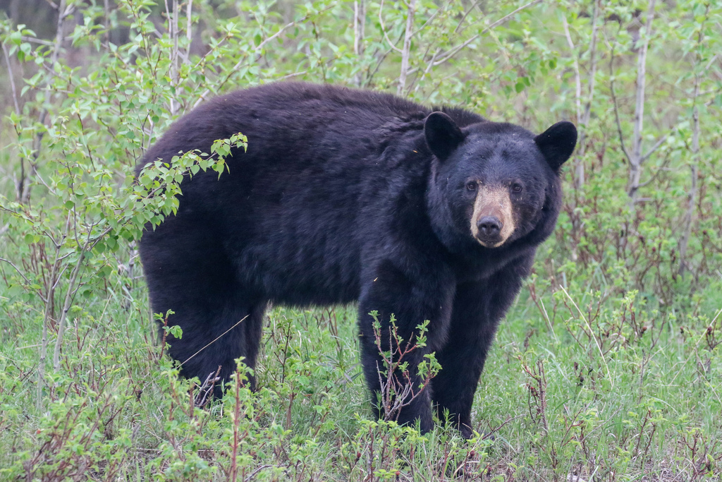
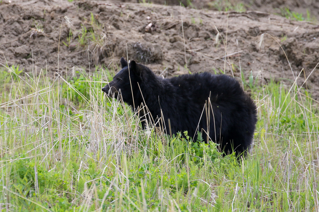
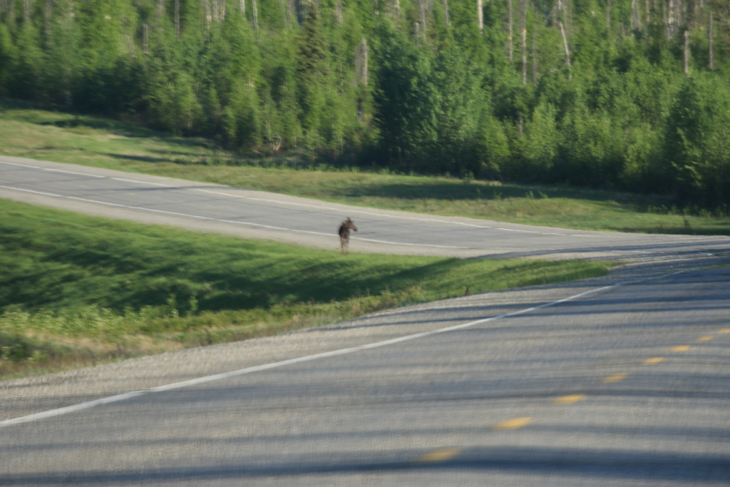
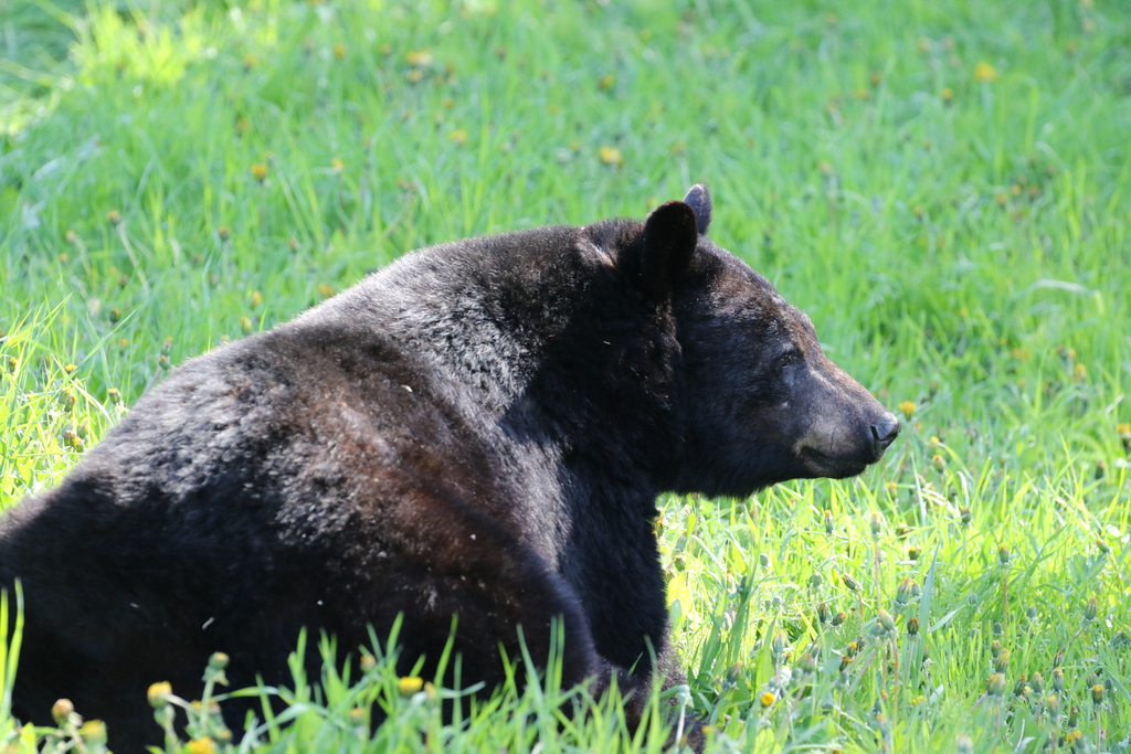
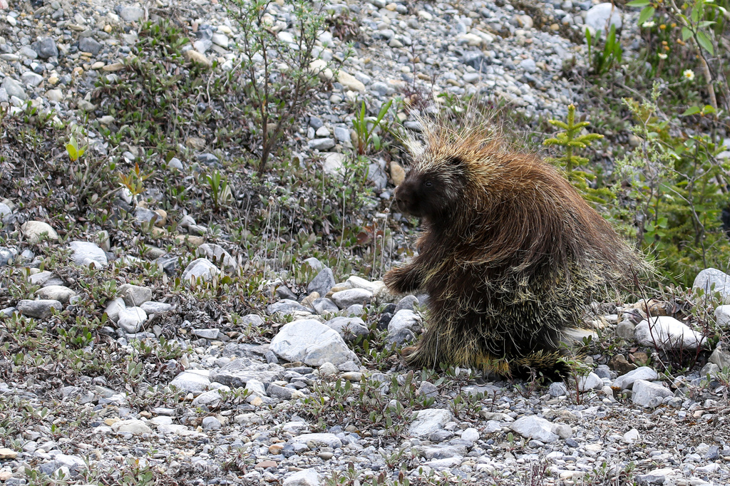
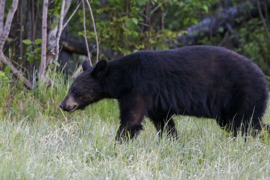
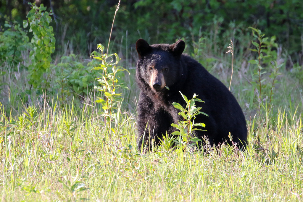
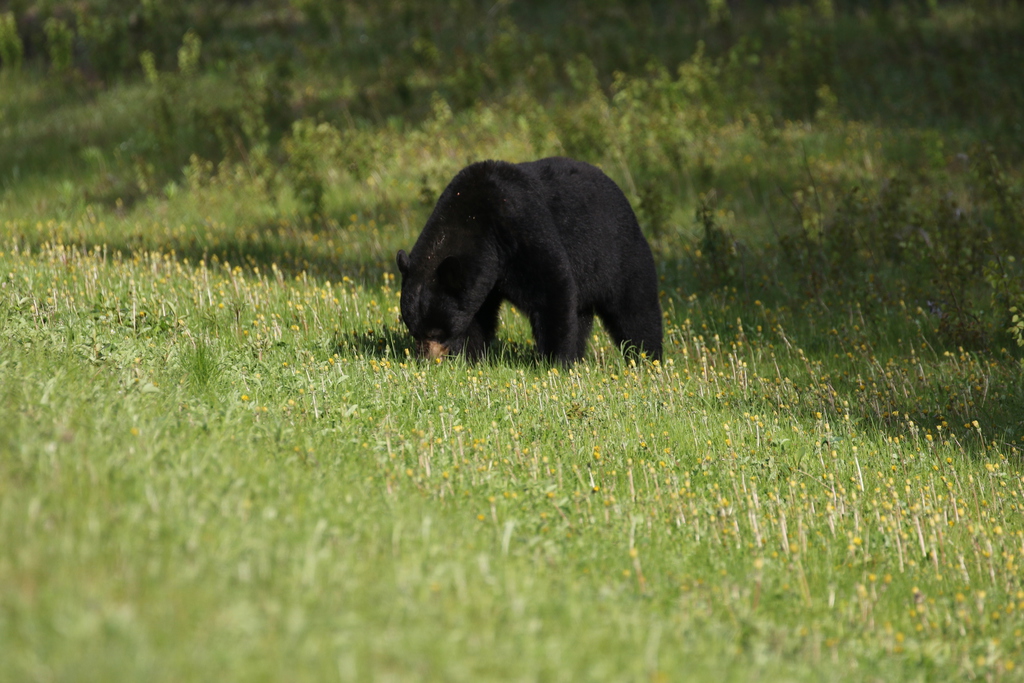
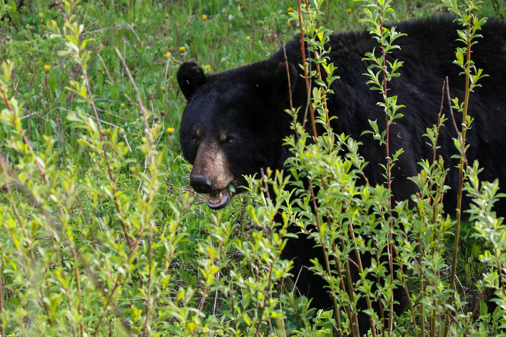
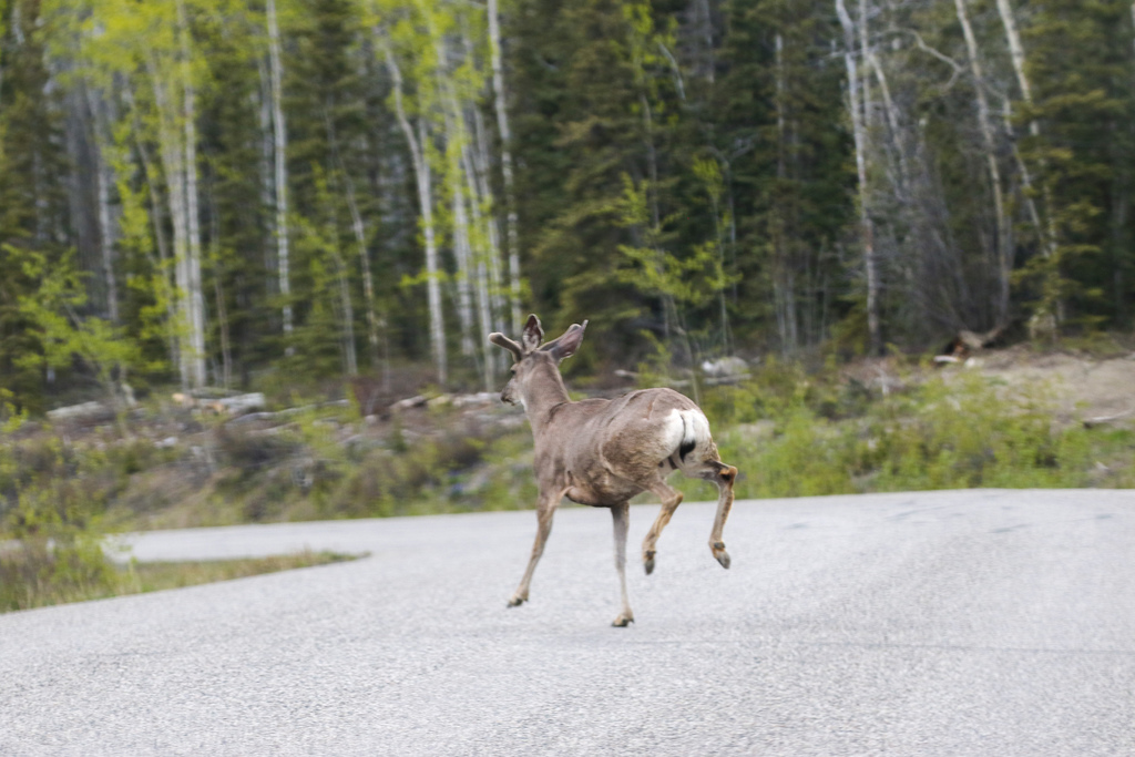
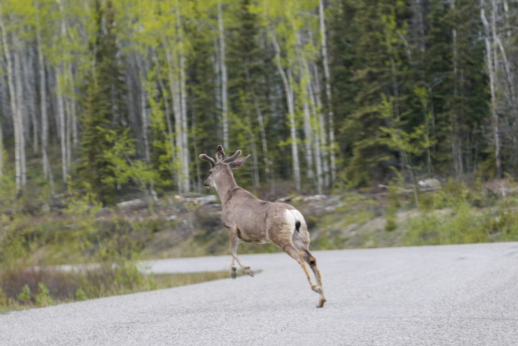
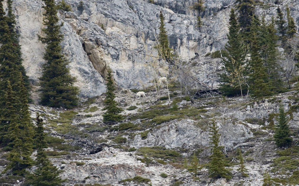
But, by the time we had driven to Fraser and back, we had seen 2 Black Bears, lots of porcupines, and lots of Mountain Goats. Still some frozen lakes and ponds but not like 2022 (although we were a week later this time).
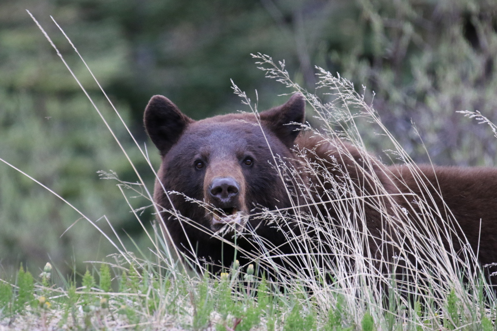
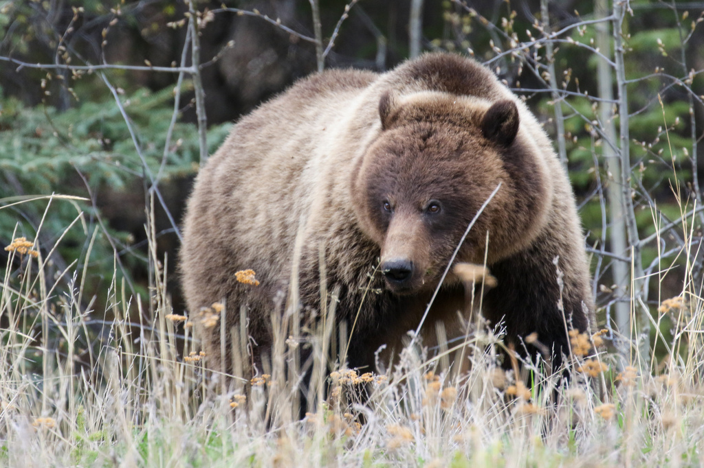
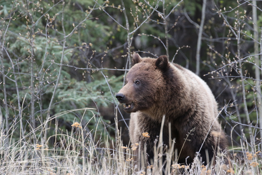
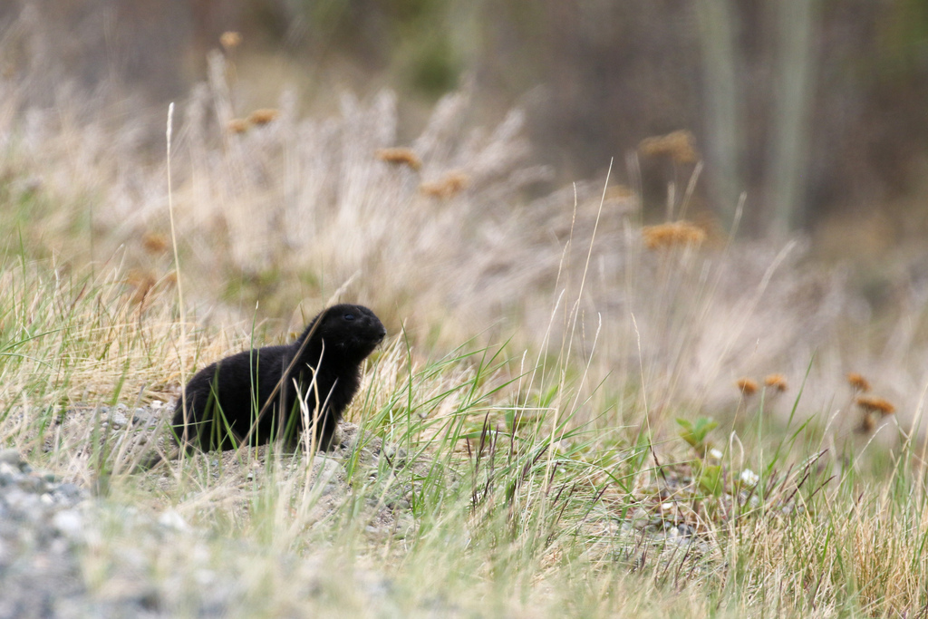
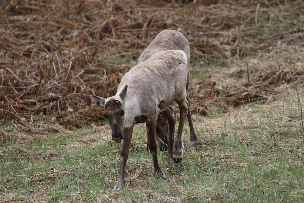
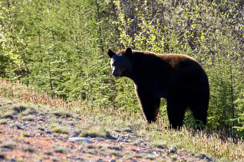
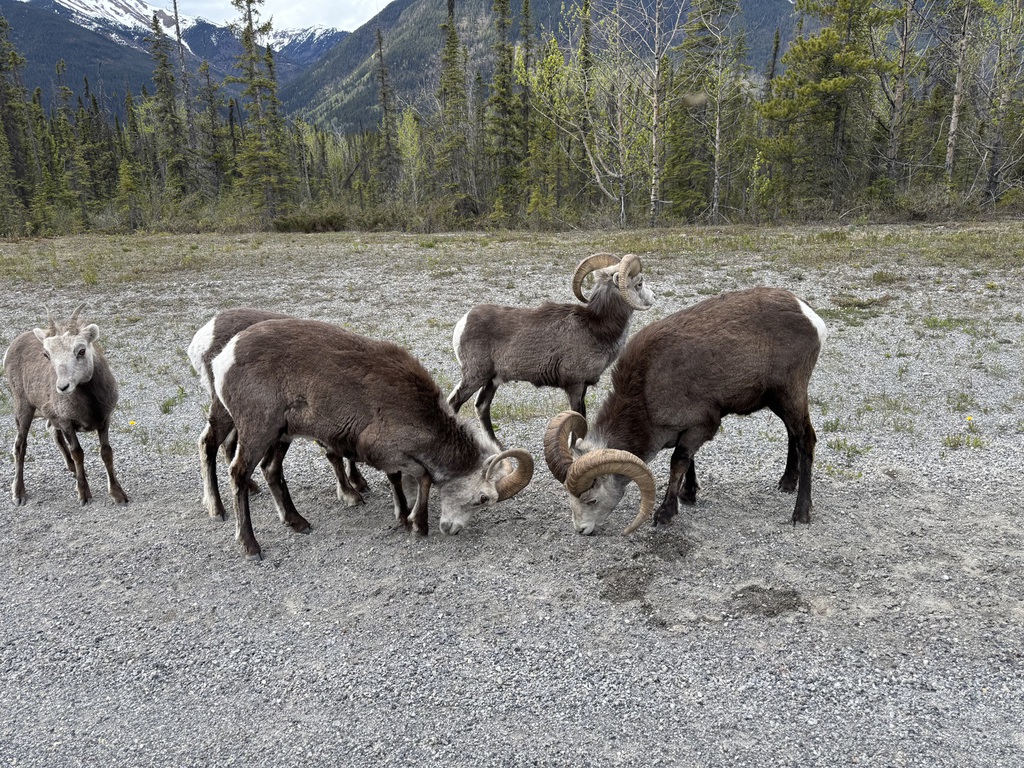
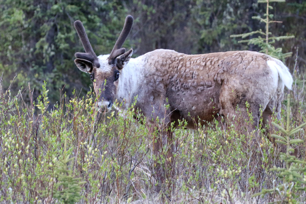
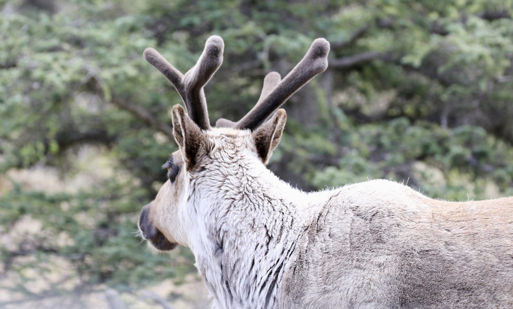
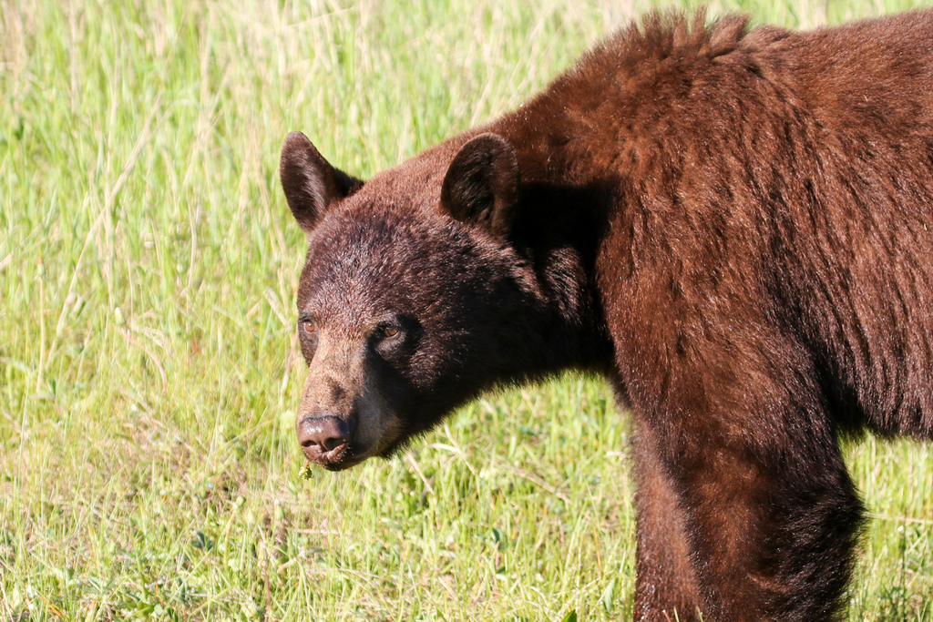
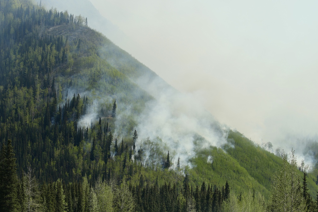
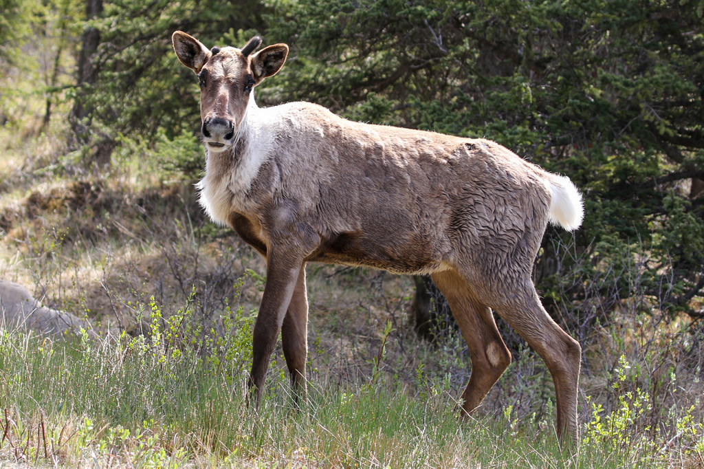
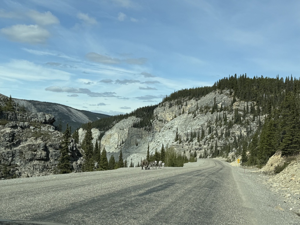
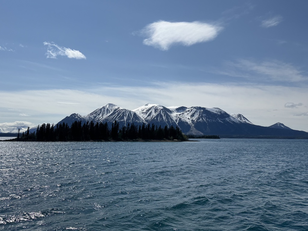
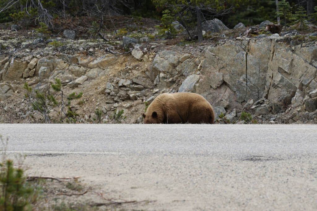
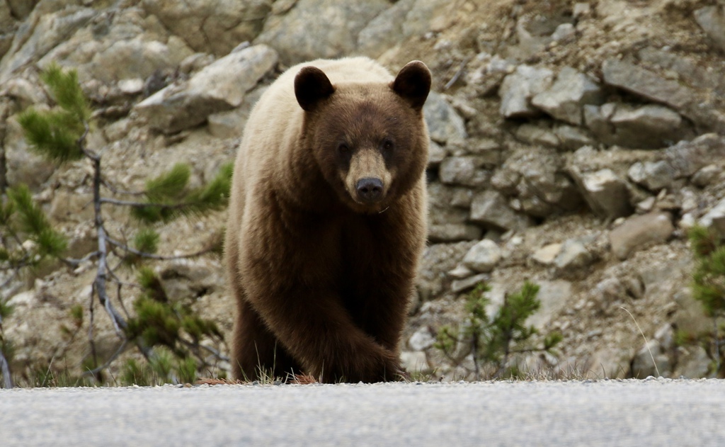
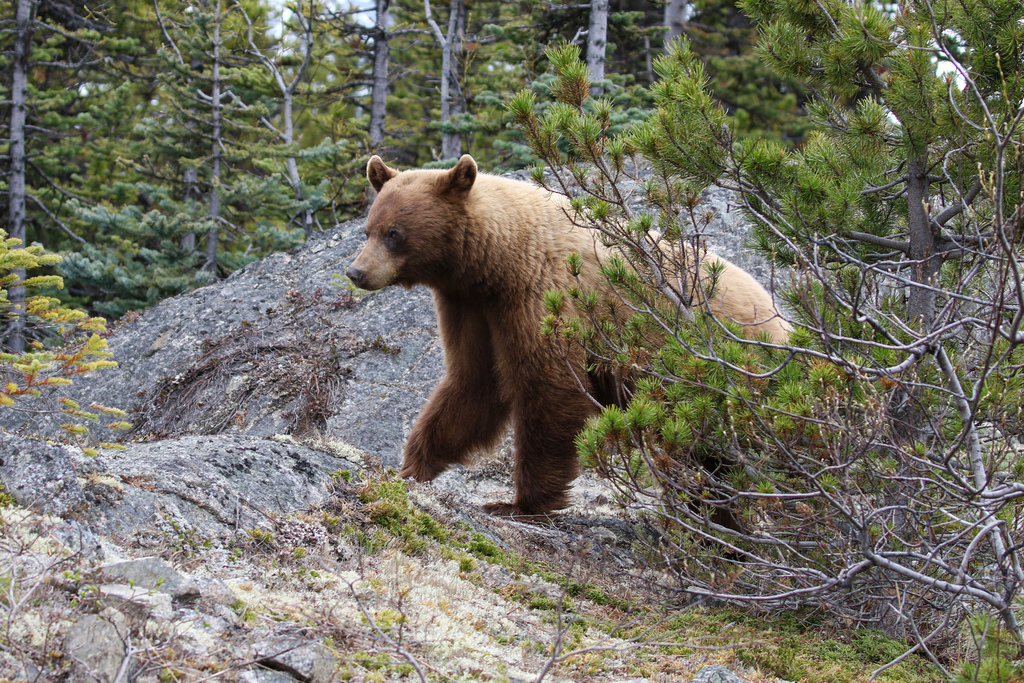
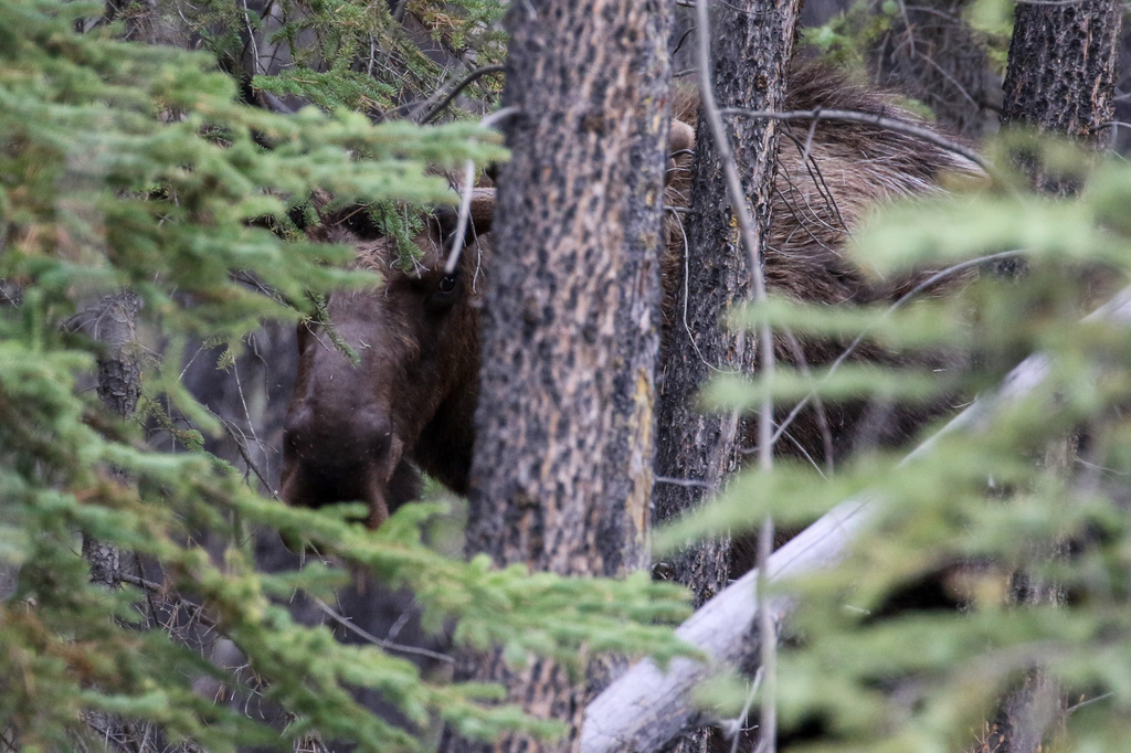
Onto the Tagish Road and hoping to see Brown Bear (grizzly) and black artic ground squirrel (unique to this area) …and both delivered. Nice Grizzly near to Tagish itself and the shy squirrels spotted towards the junction with the Atlin Road, along with a couple of Caribou.
Then onto the Alaska Highway towards Watson Lake. Again, a lot less snow than our last visit and things like Rancheria Falls, fully open. We stopped at Teslin for breakfast and gas (not from breakfast!) at the Yukon Motel as Johnson’s Crossing was closed (maybe for good, noticed that at few roadside locations).
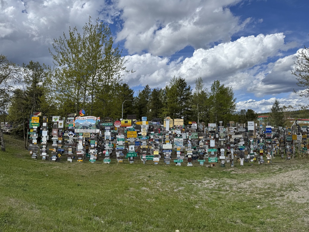
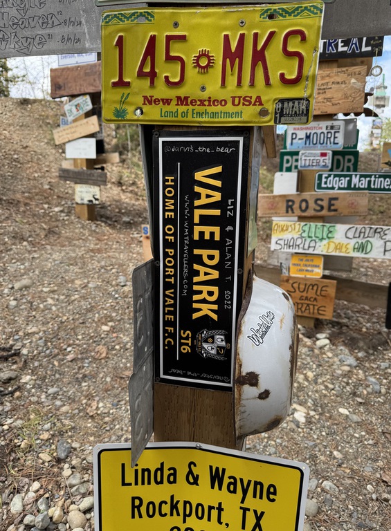
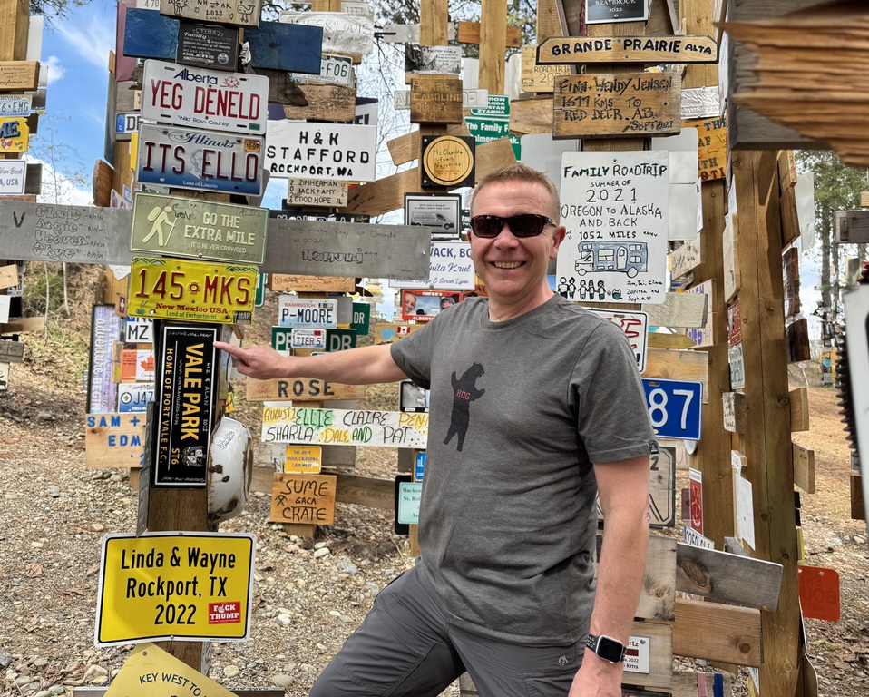
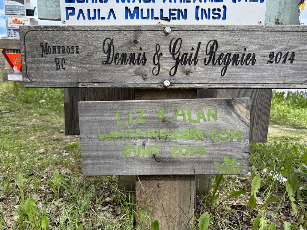
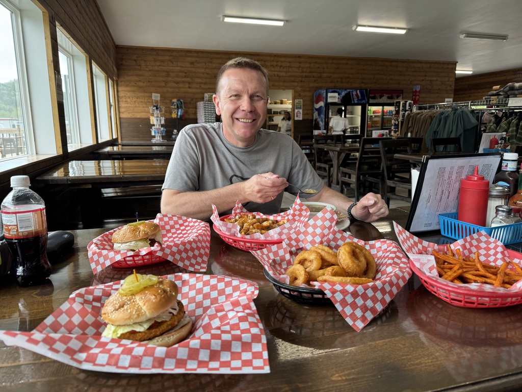
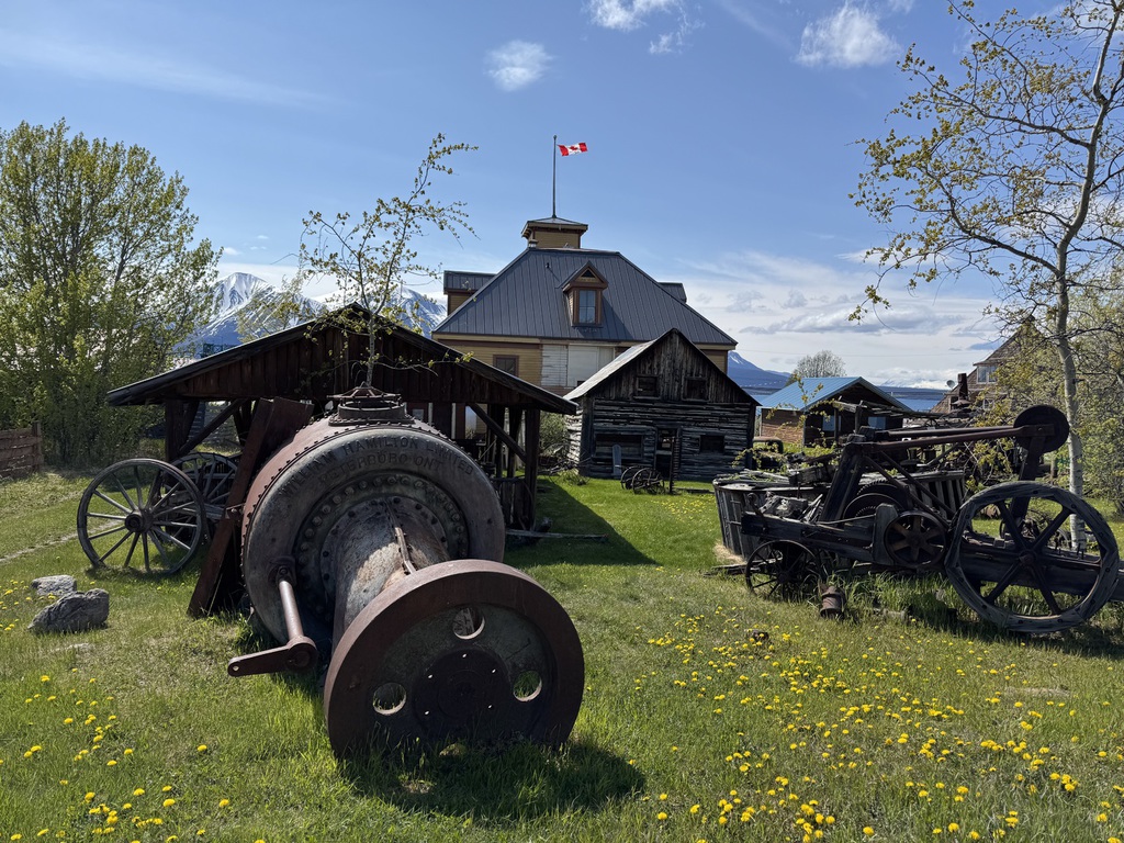
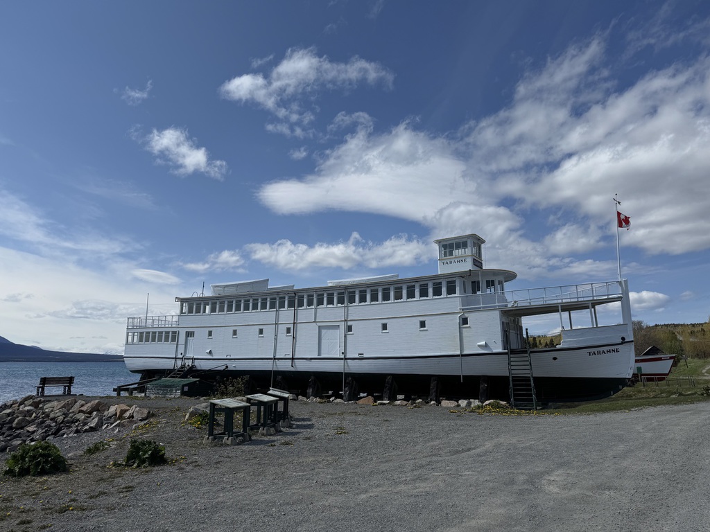
Then to Watson Lake and our night at the Nicer Motel. Since our last visit, they have bought the cabins we stayed at in 2022, but I turned down the offer of a transfer, due to the construction work going on at the site… “good decision” said the clerk! We revisited our signs at the Signpost Forest (including re-finding of the one we put up in 2014!) and then had a Chinese dinner at Nugget Restaurant. Pretty good relatively given the very limited options in Watson Lake, and much better than the experience at Andrea’s last time.
Km/Miles driven: 615km/384m
Bear score; 3 Bears (2 Black, 1 Grizzly)
Day 4 - Watson Lake to Toad River
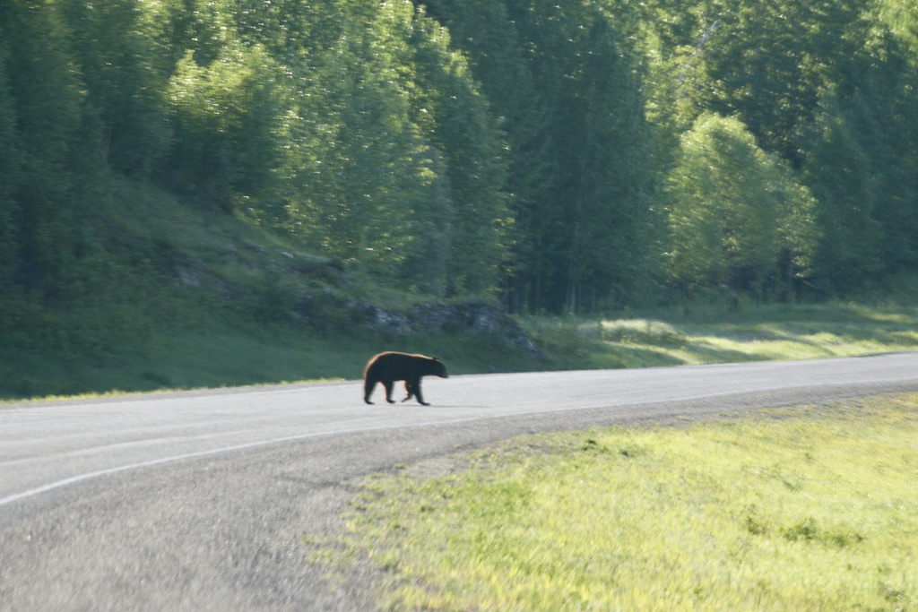
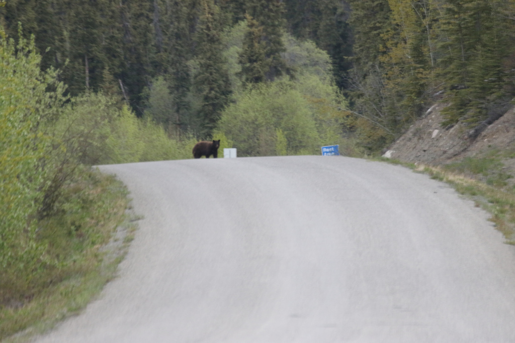
We had a short drive today, so decided to go exploring up the Robert Campbell as a dawn adventure. We drove as far as Tuchitua (tungsten mining) and a bit up the gravel section from there towards Ross River. It was still a bit sticky and slick in places from the rain yesterday.
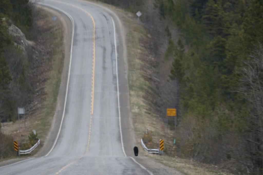
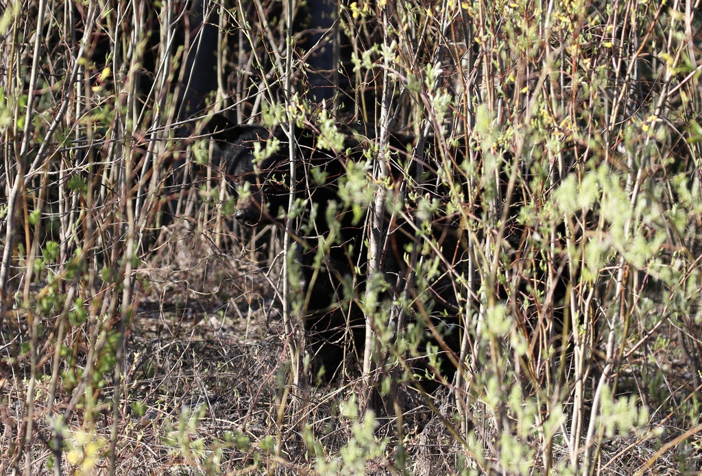
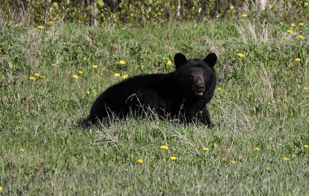
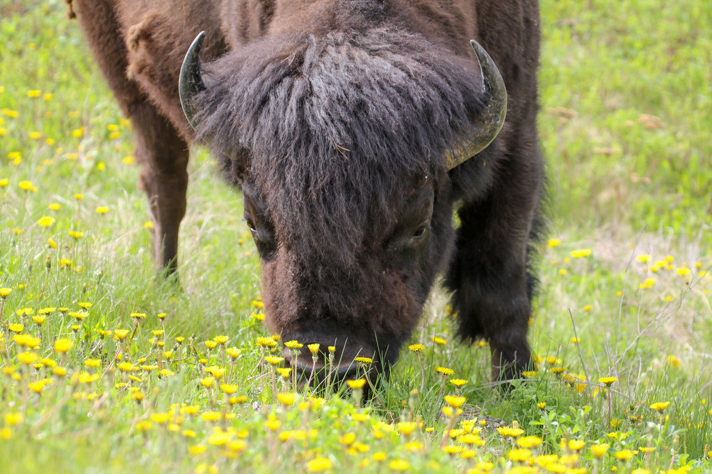
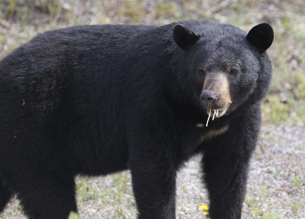
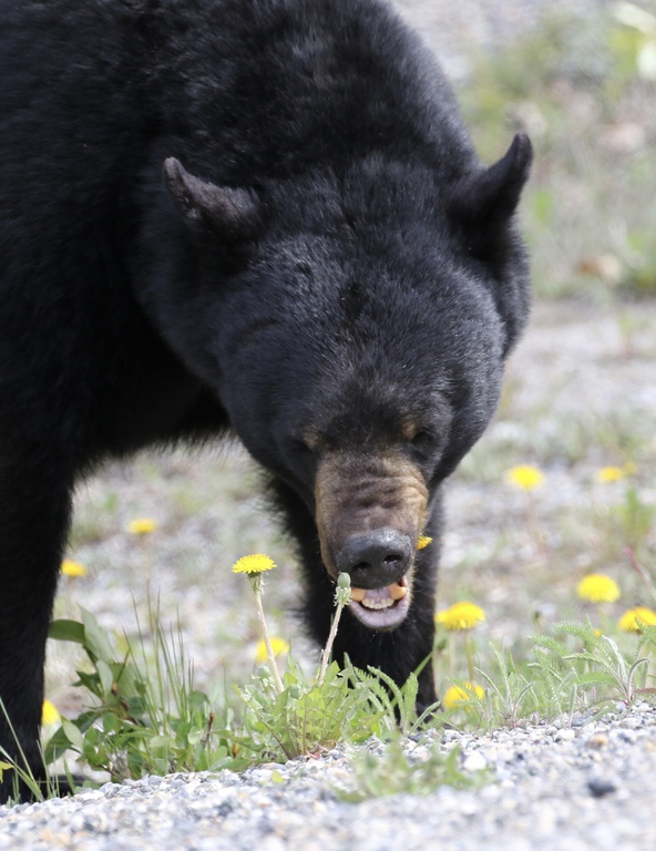
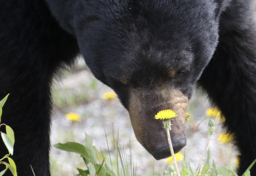
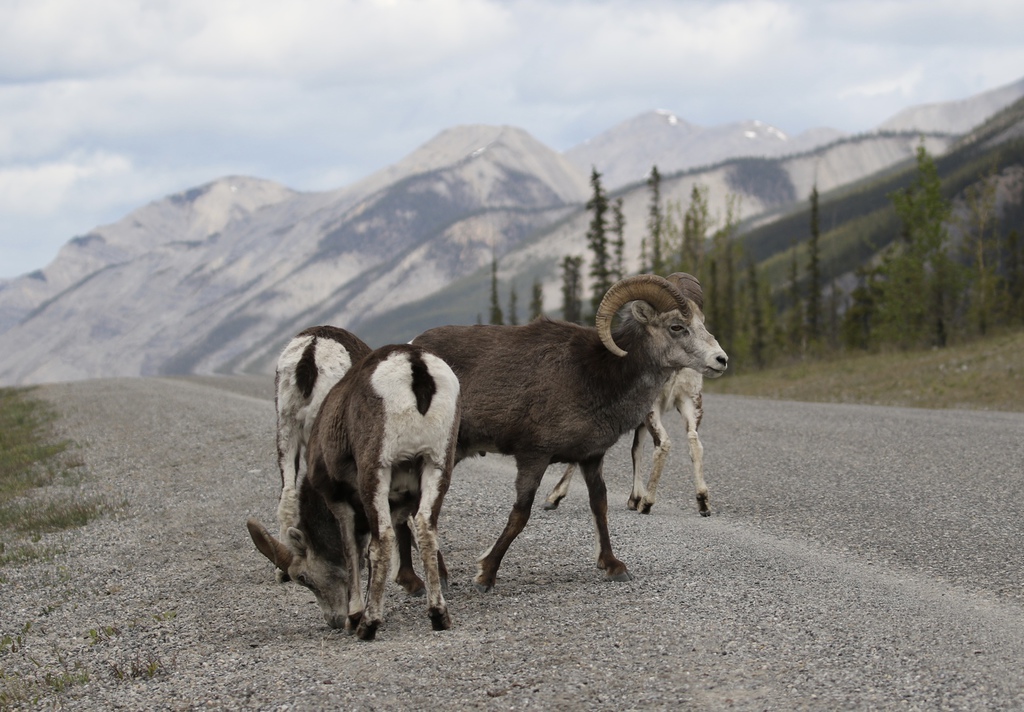
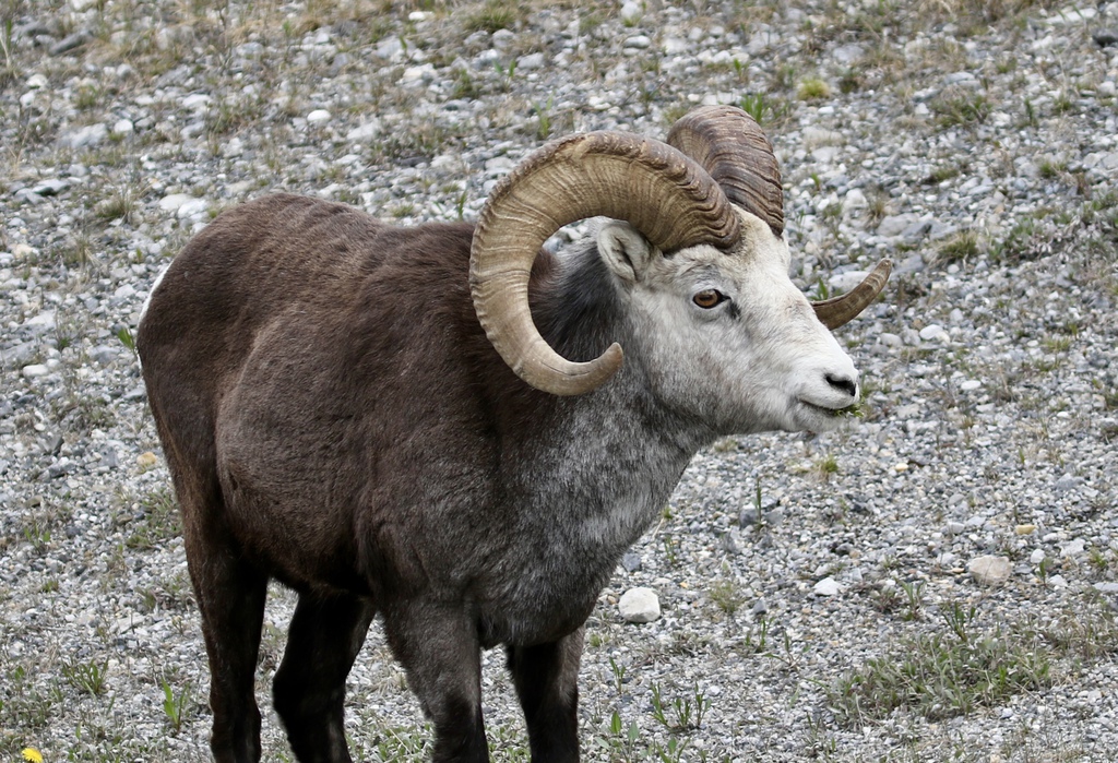
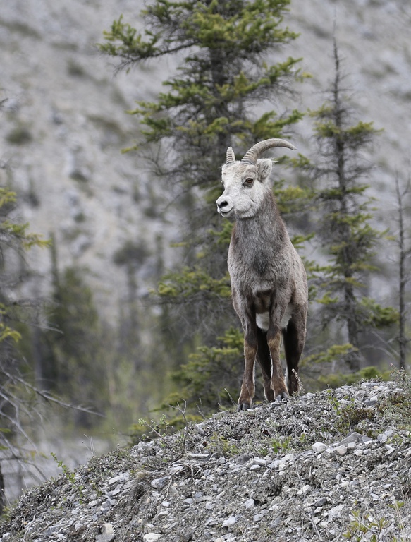
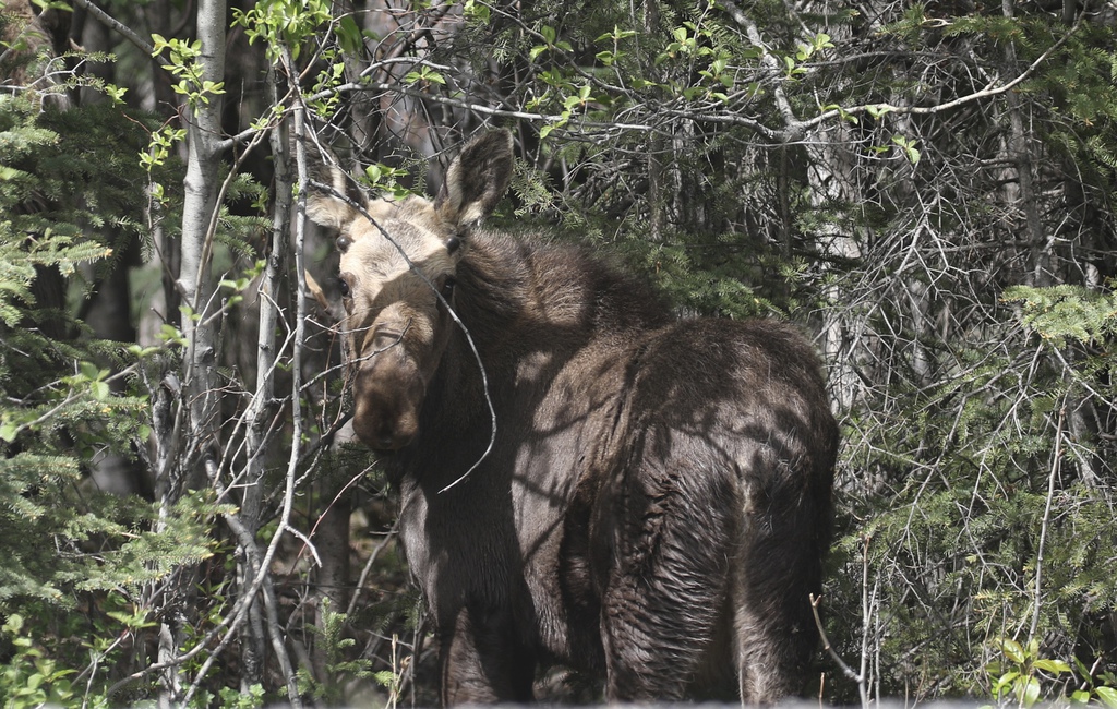
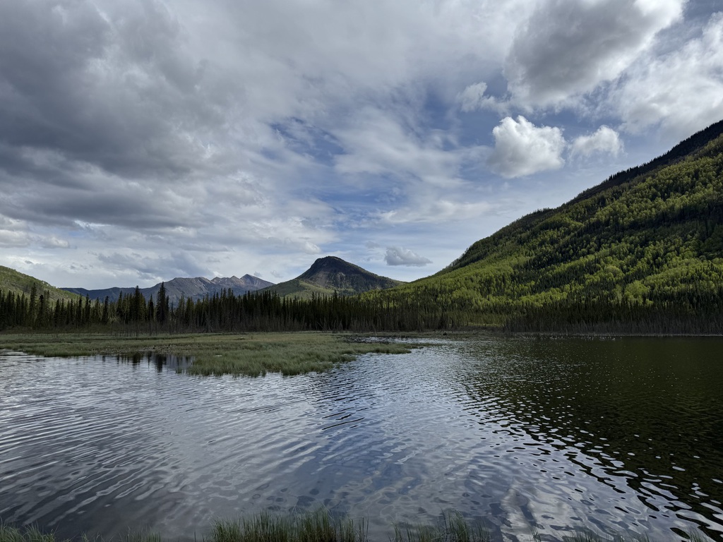
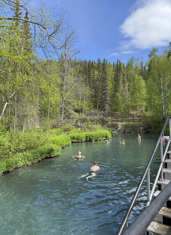
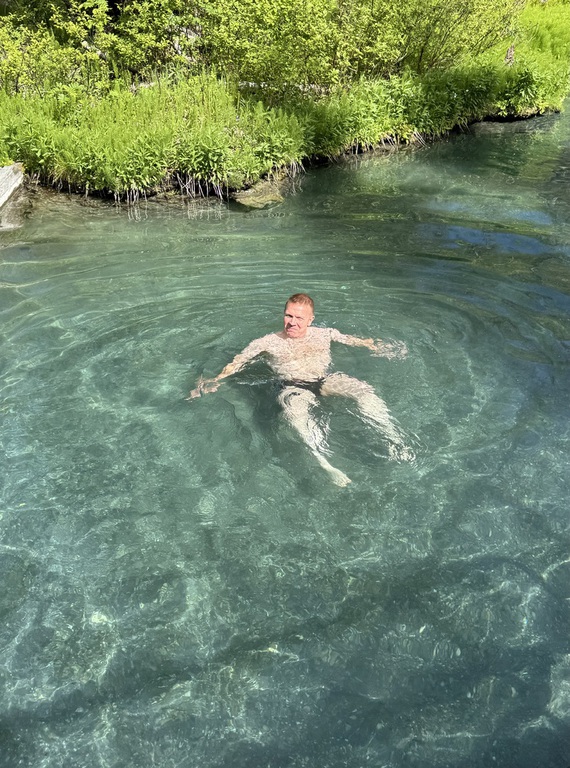
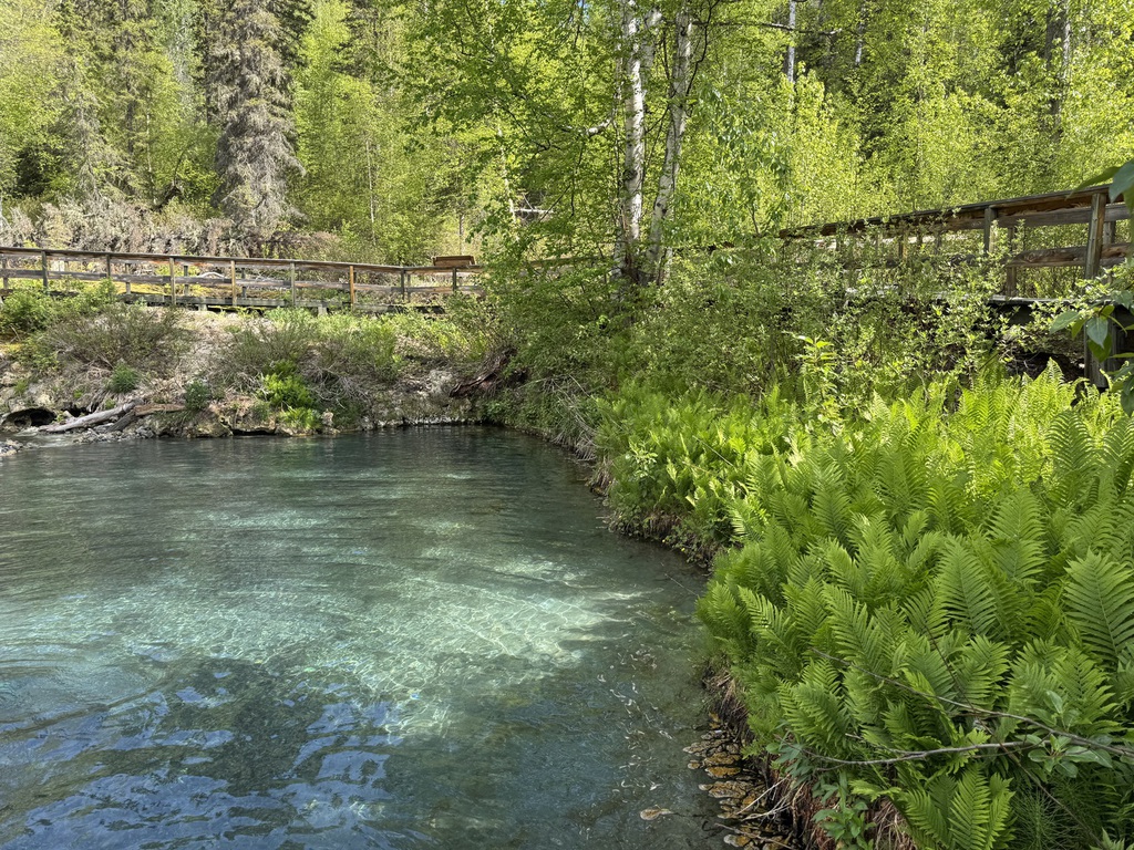
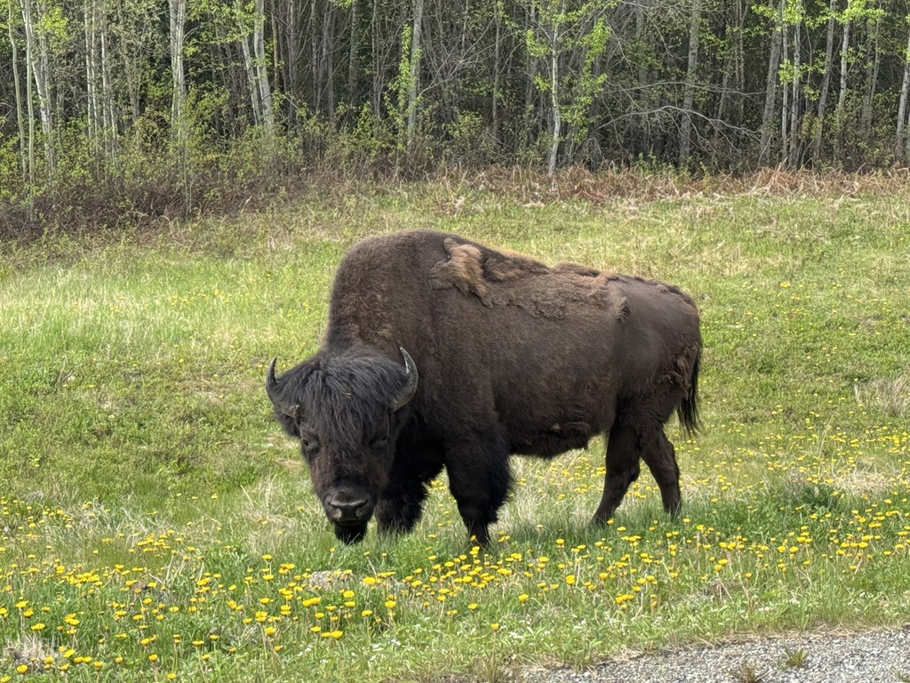
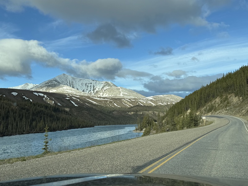
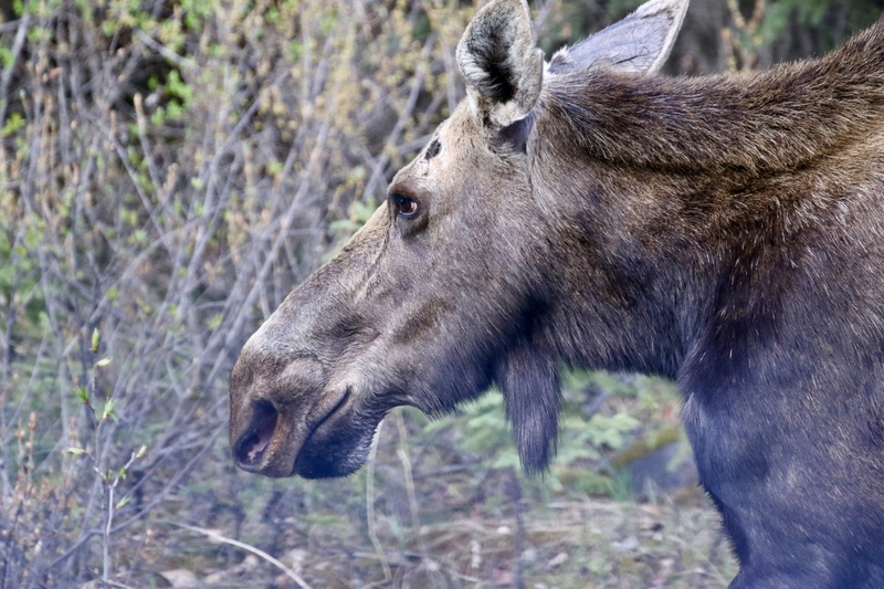
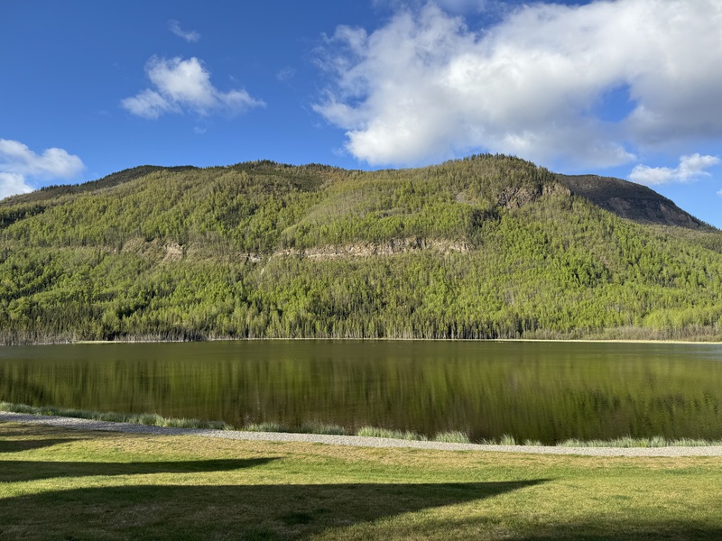
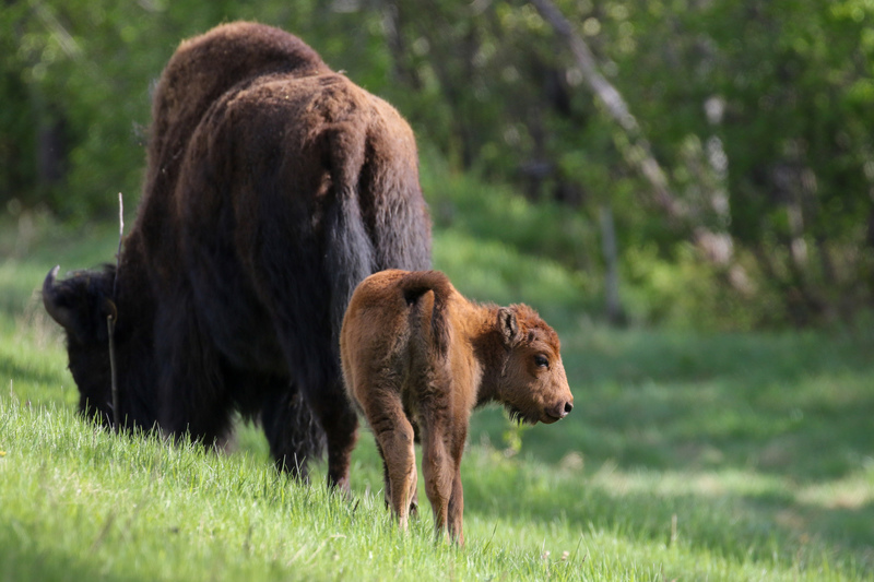
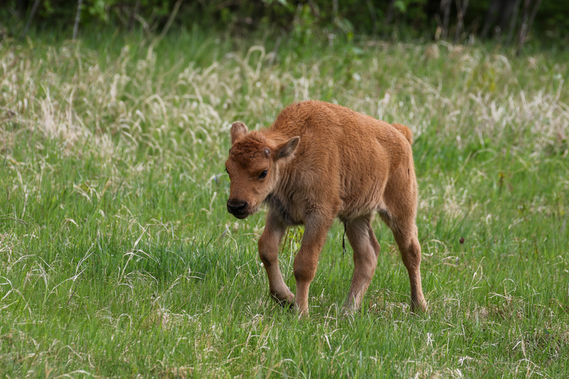
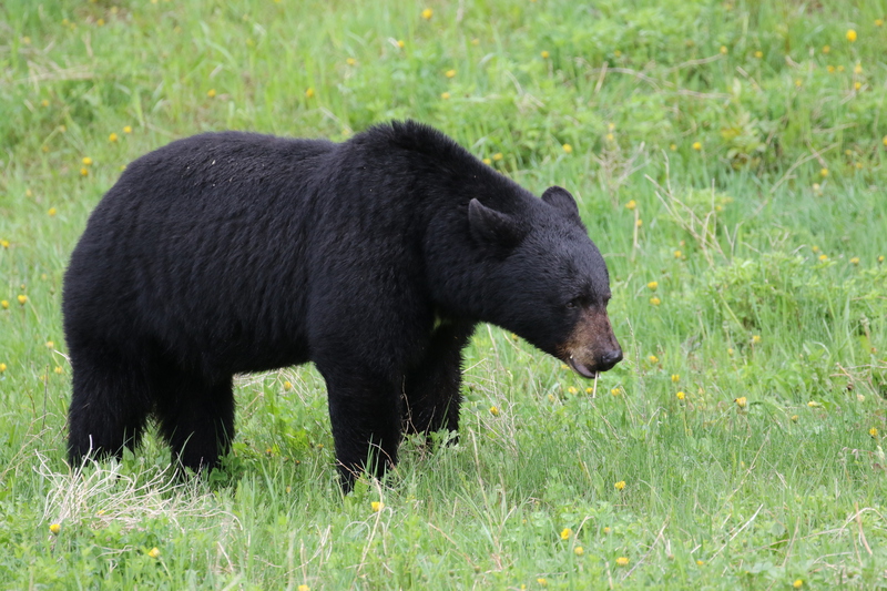
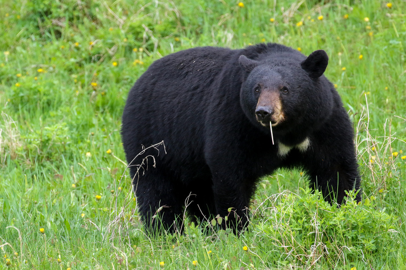
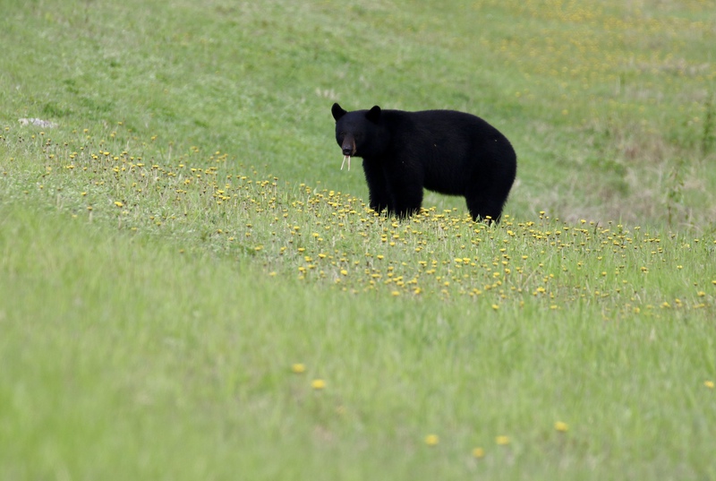
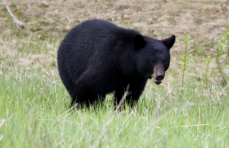
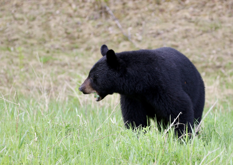
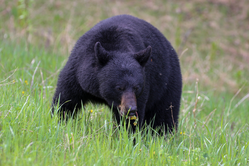
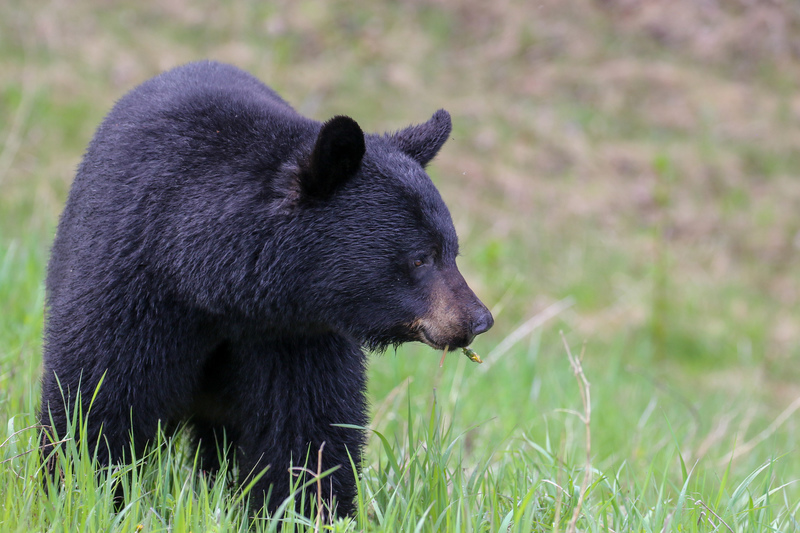
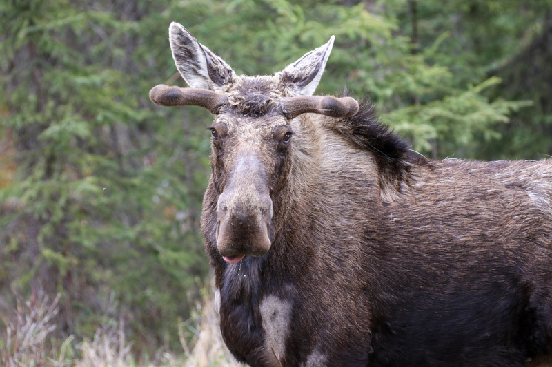
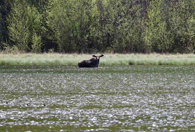
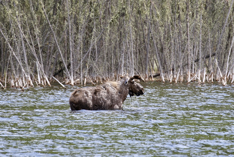
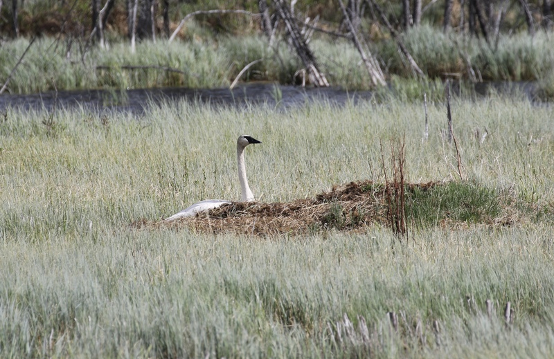
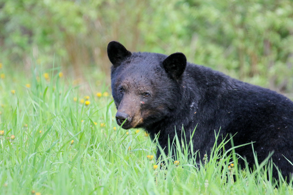
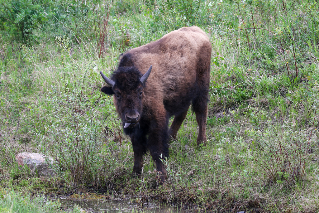
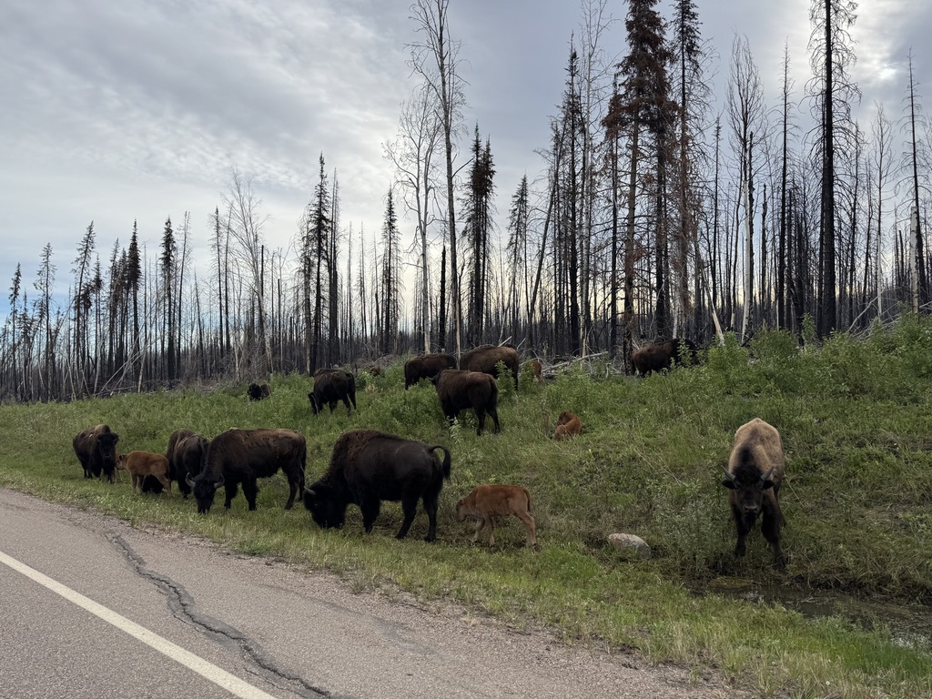
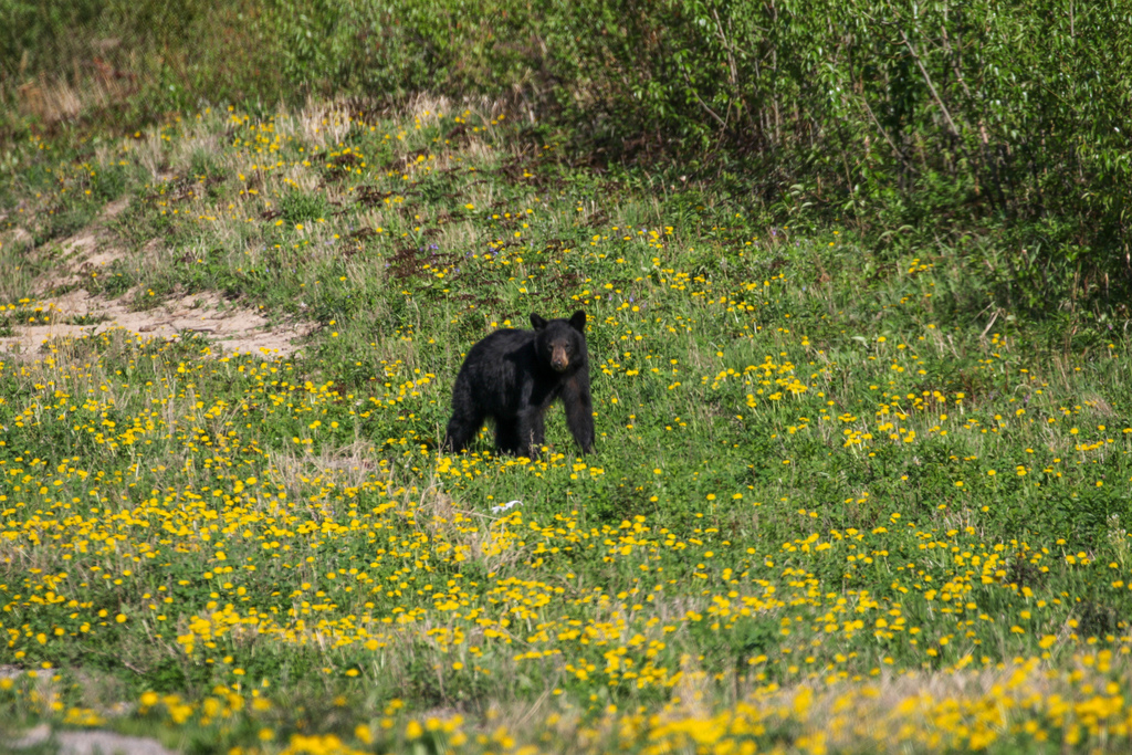
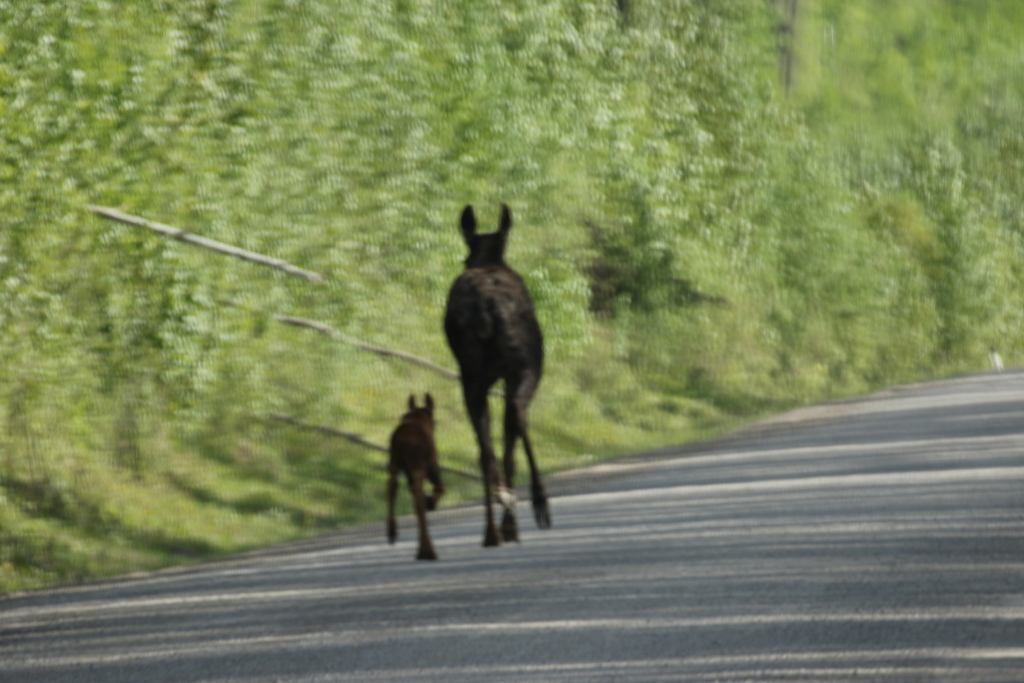
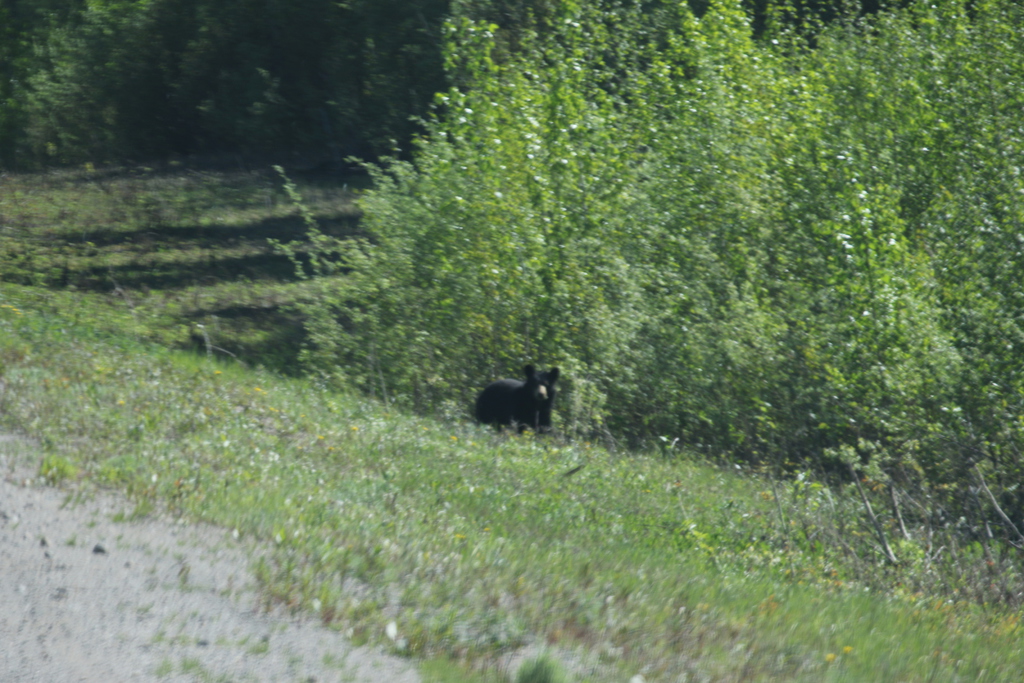
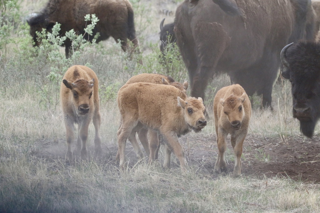
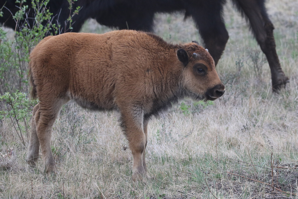
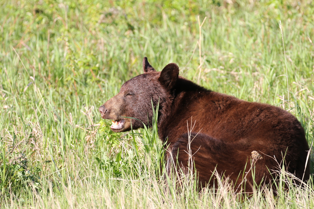
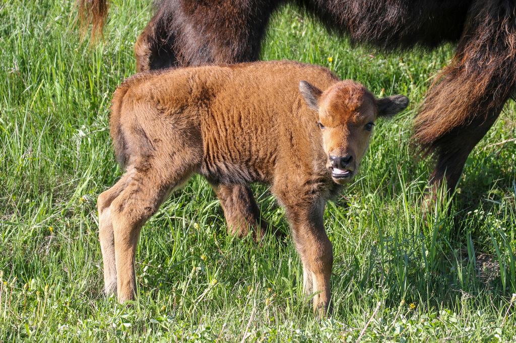
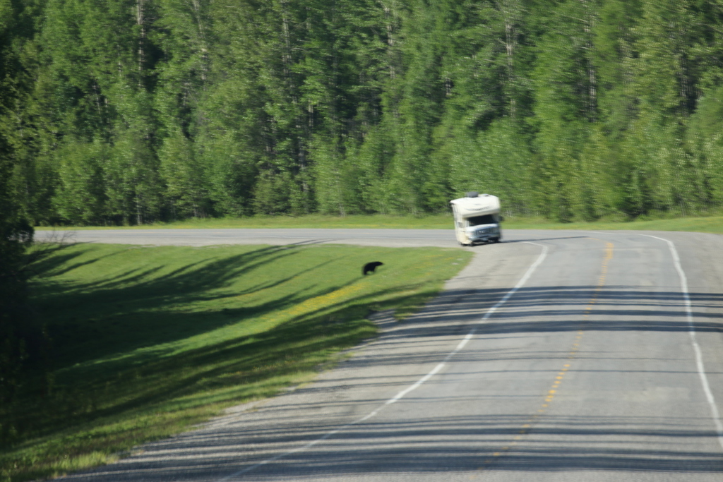
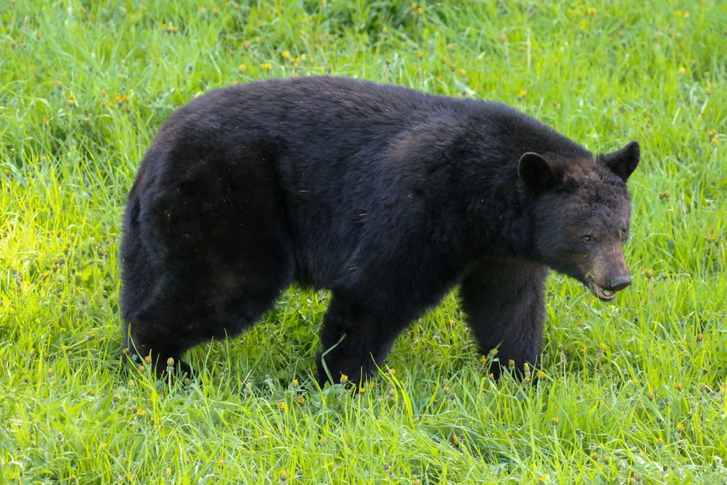
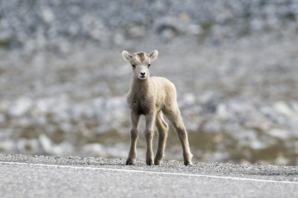
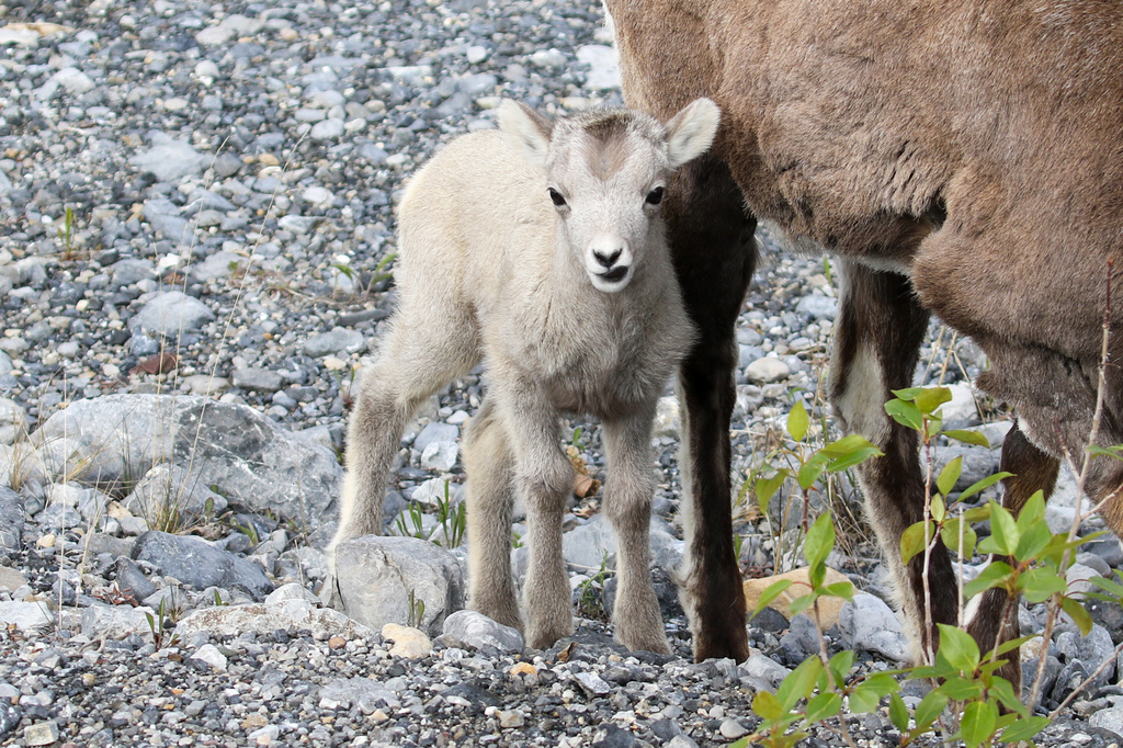
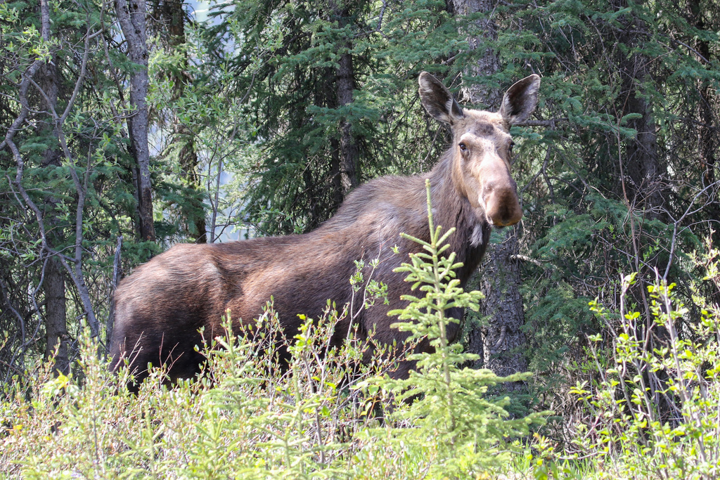
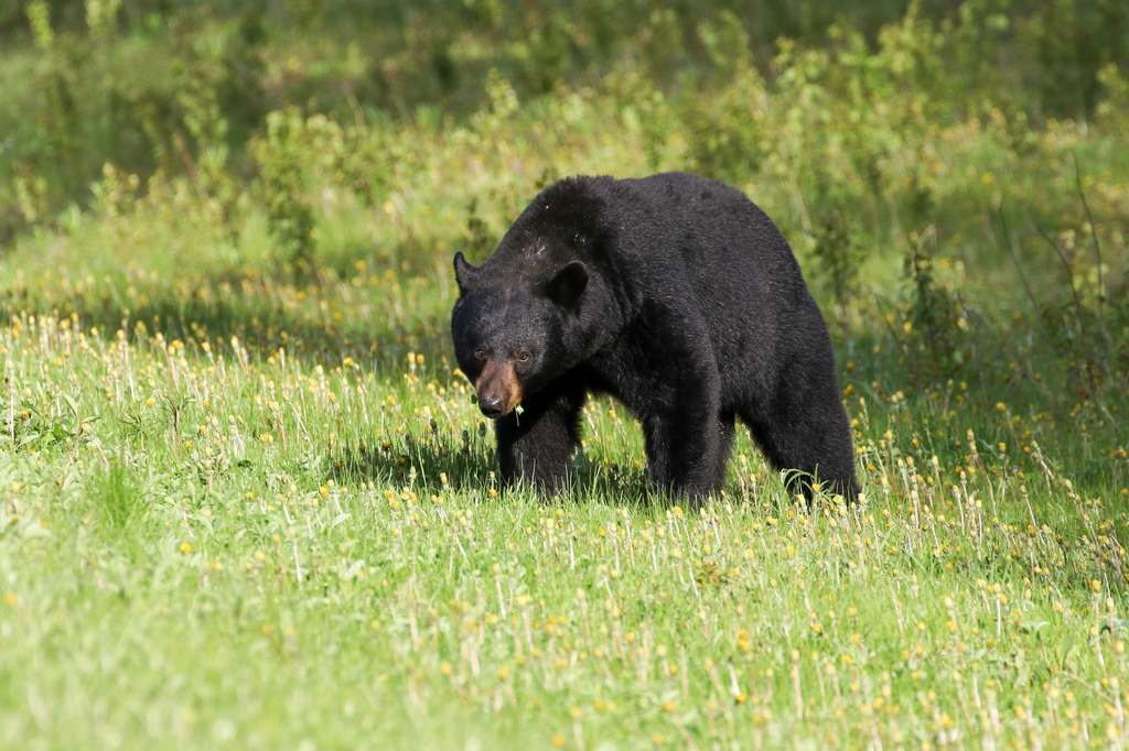
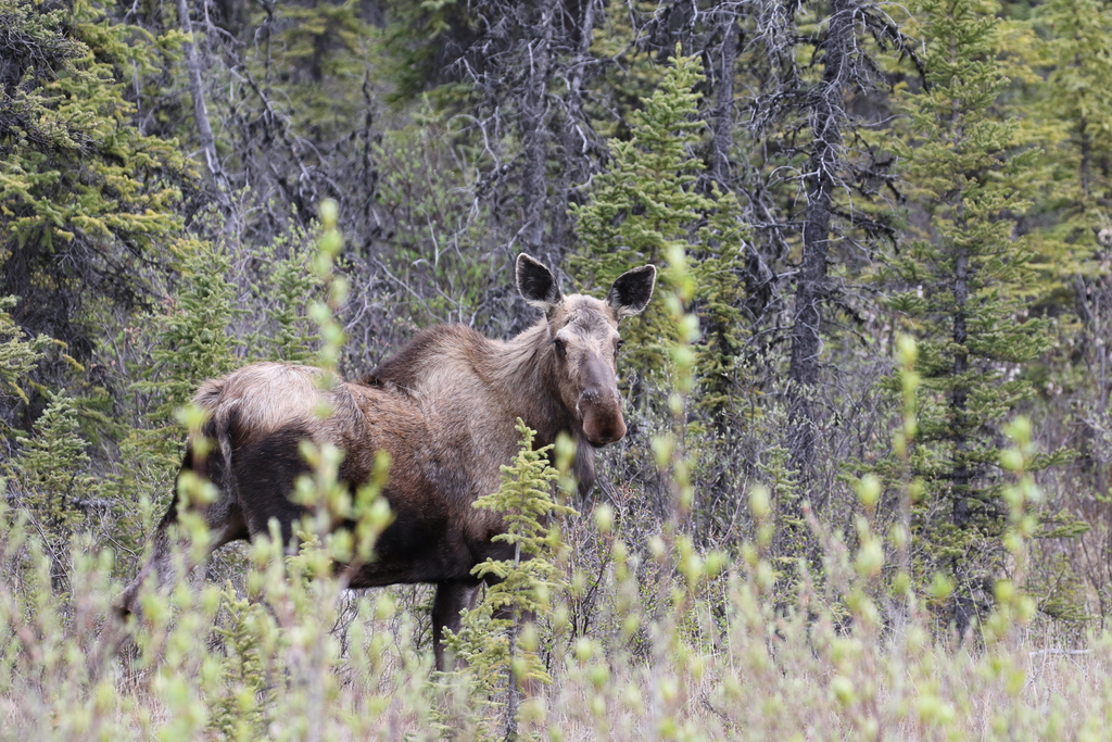
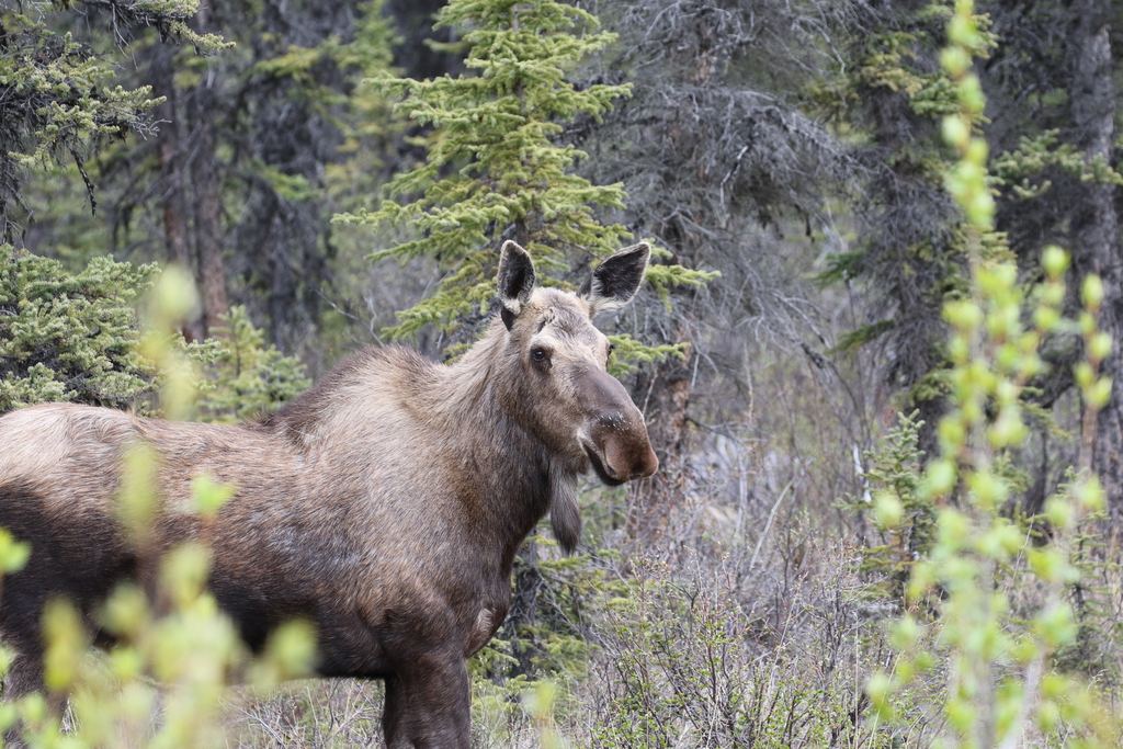
For our efforts, we spotted a couple of Black Bears, and got back to Watson Lake for the opening of the store at 8am. Then onwards along the Alaska Highway to Toad River, spotting more roadside Black Bears hoovering up the dandelions, (7 in total) and the Bison herd as we approached the Northern Rockies. We stopped for a dip in the hot springs, and a lunch break at Liard River Hot Springs Provincial Park and then continued to our accommodation, Toad River lodge, for the next two nights, with a welcome greeting from the Stone Sheep near Muncho Lake. We checked into our lake side cabin and then went for an early dinner with views of the resident moose bathing in Reflection Lake. We spent the rest of the evening watching the wildlife, more moose and the resident nesting swans and birds.
Km/Miles driven: 557km/348m
Bear score: 9 Black Bears
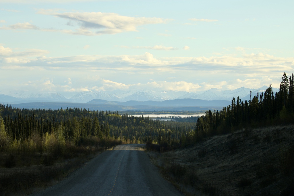
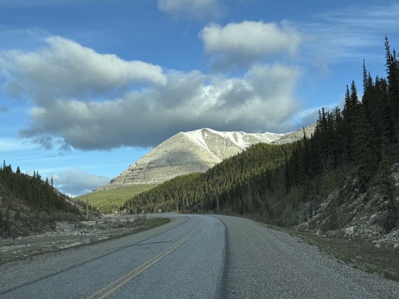
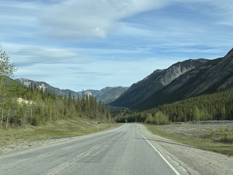
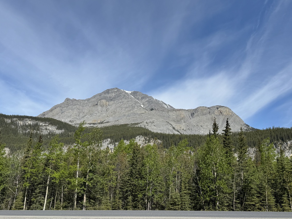
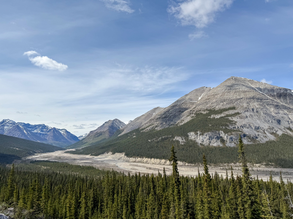
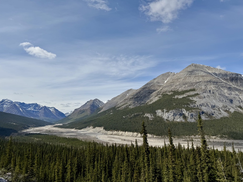
Day 5 - Northern Rockies
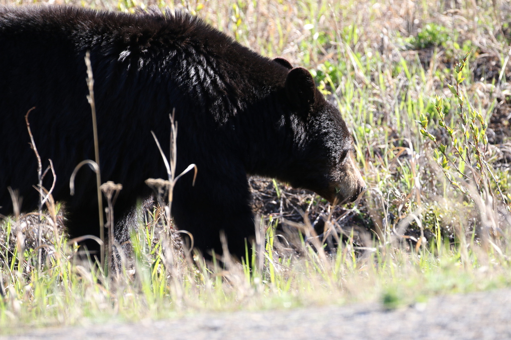
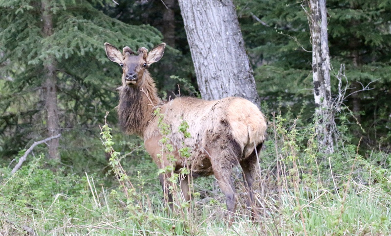
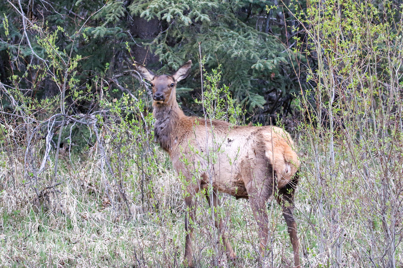
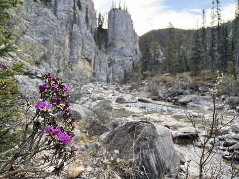
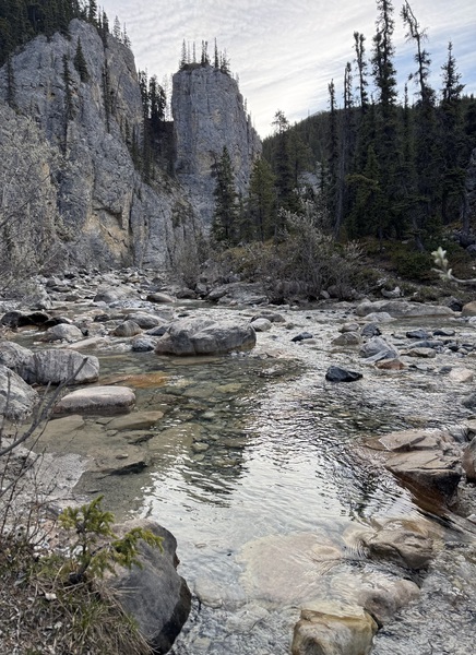
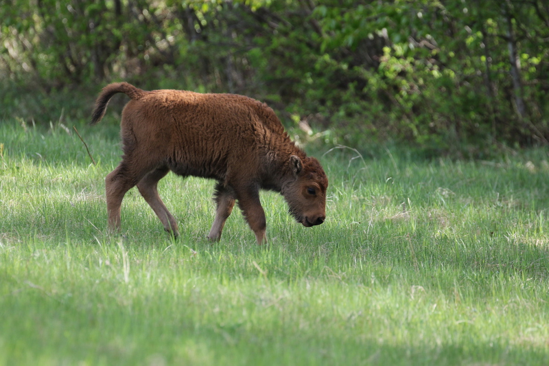
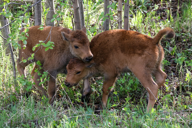
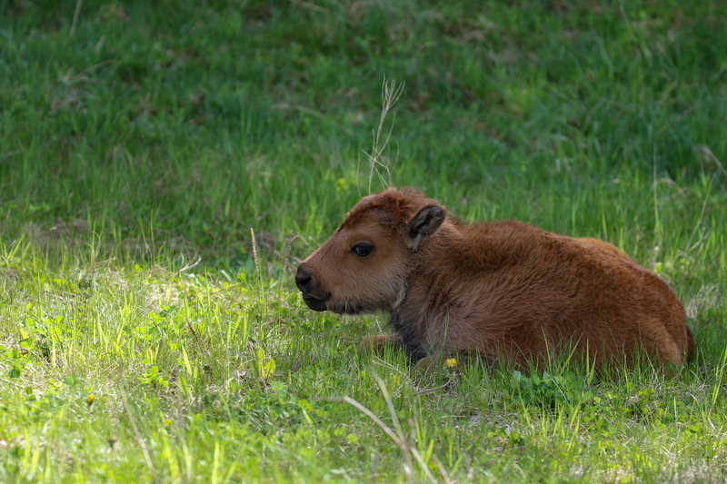
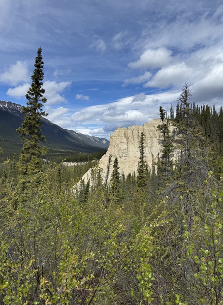
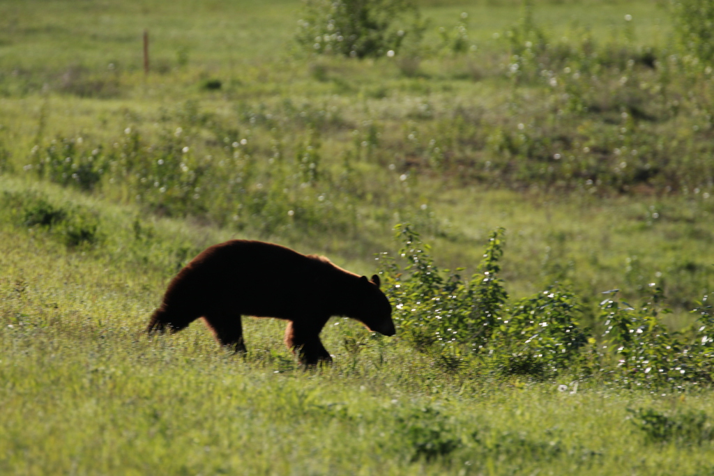
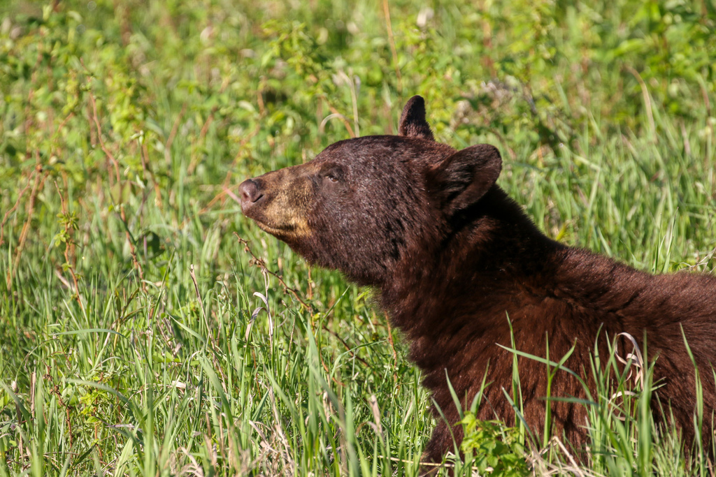
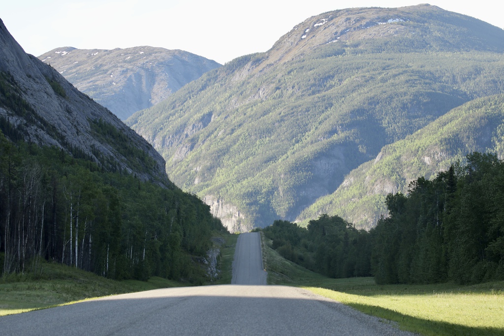
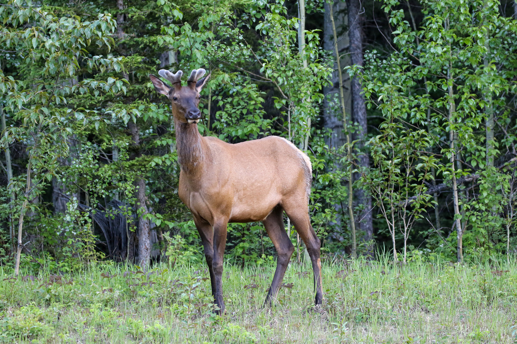
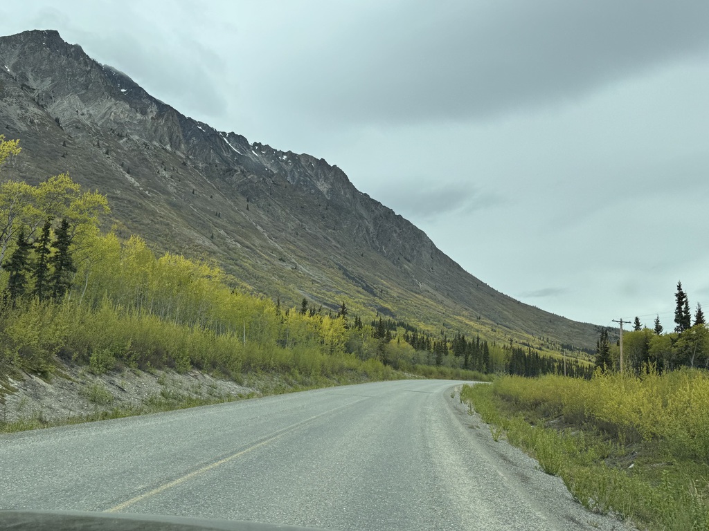
This was a touring day, but we still had a dawn departure to head eastwards (towards Fort Nelson). The moose were having an early morning dip, and no sooner had we set out, than we met a lot of Elk enjoying the fruits of the local farmers efforts, and moose and caribou between Toad River and Tetsa River lodge, (good cinnamon buns apparently) where we turned around. Then back west the way we had come, stopping for a hike at Baba Canyon and then further west towards Coal River, where we finally saw today’s Black Bear contingent along with many more Bison with new born and young calves.
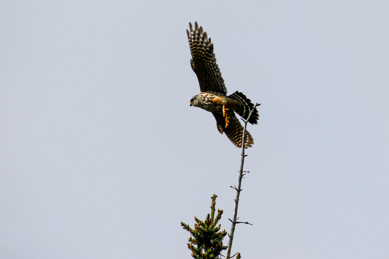
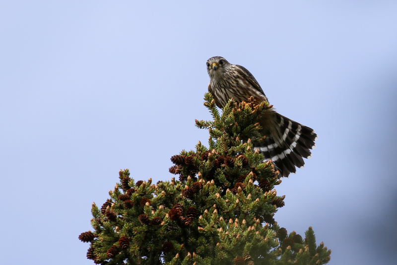
We then turned back towards Toad River, stopping for a walk at the Mineral Licks and attracting the interest of couple of Merlins. Another Moose on the way and again the resident Moose spent the evening bathing in the lake as we had dinner at the lodge, and they were still around when the sun finally set about 11pm.
Interestingly, this was the first time we had seen no stone sheep in the Northern Rockies, roadside or otherwise!
Km/Miles driven: 491km/366m
Bear score: 2 Black Bears
Day 6 - Toad River to Fort Simpson
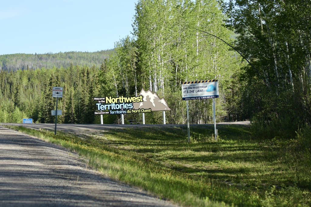
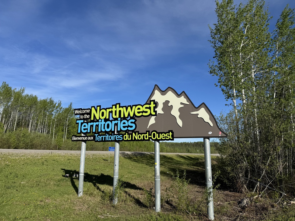
Today we had a long drive and new places to explore as we ventured into the Northwest Territories for the first time. So again, a dawn departure, with all 4 resident Moose seeing us off!
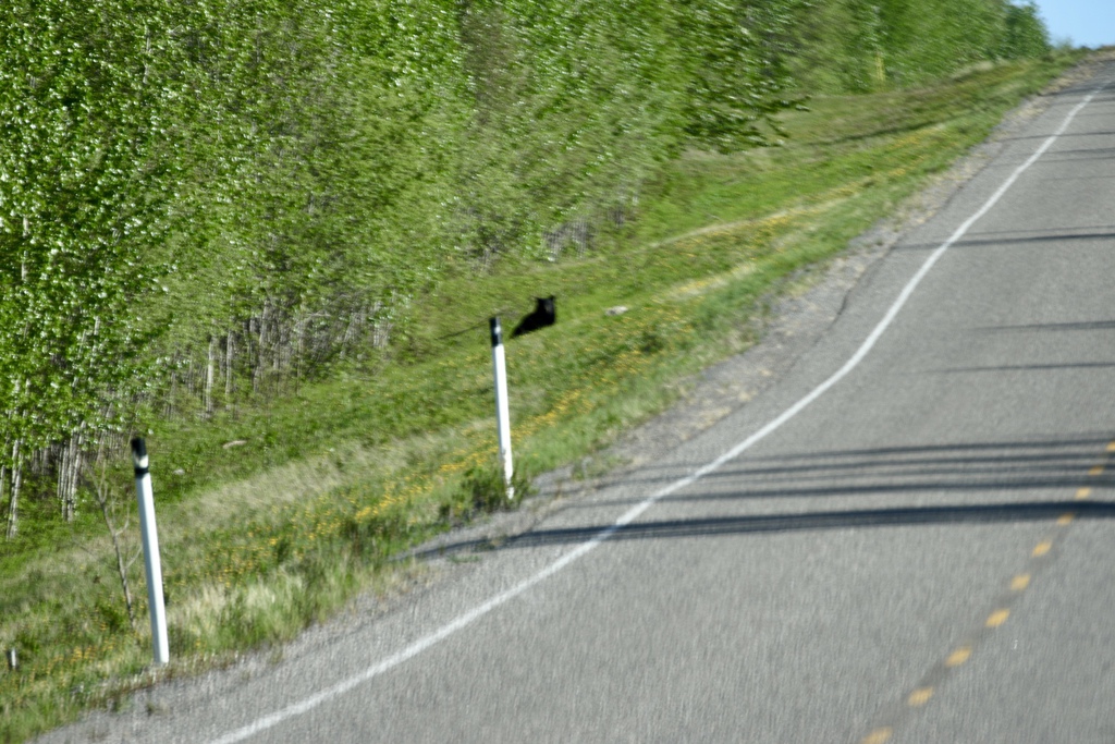
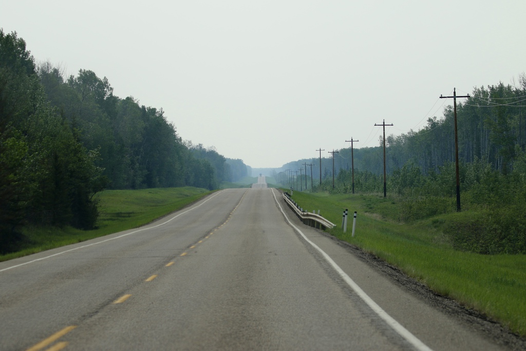
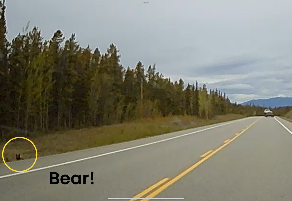
We saw much the same as yesterday, caribou, elk, moose, until we reached the junction of the Liard Highway (BC Highway 77) and turned north. We spotted the first Black Bear of the day near to Beaver lake, and another before we crossed the province border into NWT and joined NWT highway 7, plus Wood Bison and beaver, and later three more bears. This road shortly became gravel after the border and would be the first of many many miles on gravel roads in NWT.
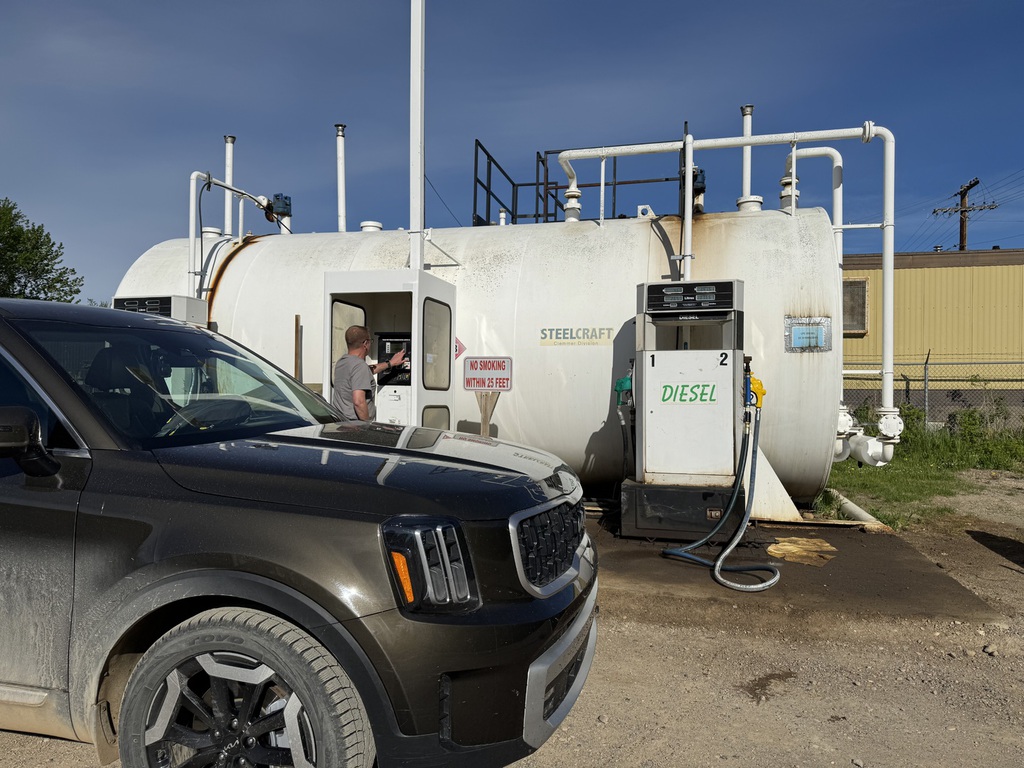
We took a short diversion into Fort Liard for a quick look and gas at the card lock facility in town. No Bison in town but we did find a cow moose and young calve blocking the highway just after we left. She finally led her baby safely into the verge and we continued on.
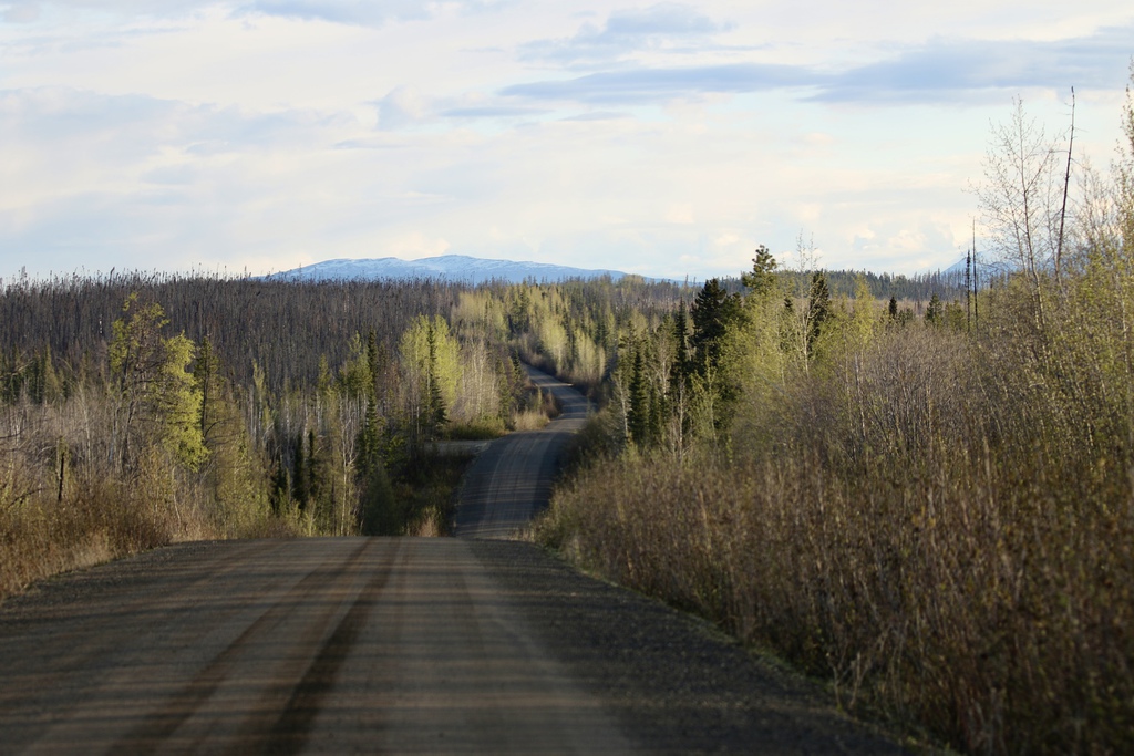
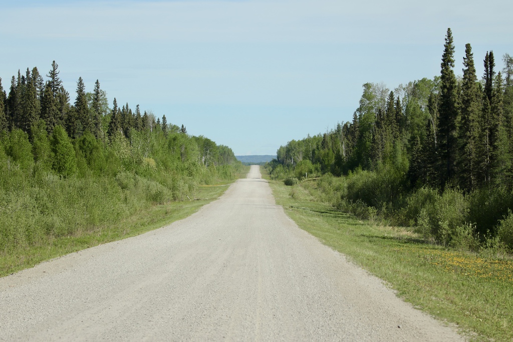
We saw a lot of old burnt forest in the south, and clearance was causing a lot of soot and smoky residue to rise into the atmosphere. The scenery was ok, but as we headed north the topography levelled out and long stretches of ‘pinous monotonous’ took over. However, some construction work and regrading, along with a lot of dust dousing made for an interesting few Km and covered RAH in a nice coating of mud to go with the dust.
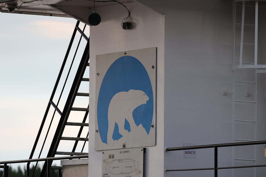
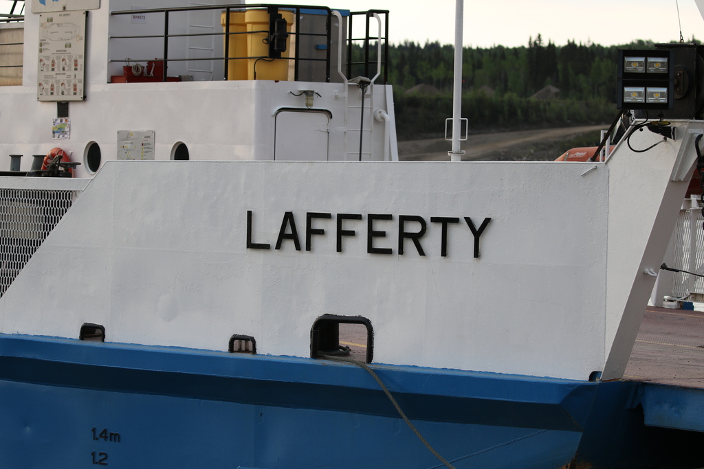
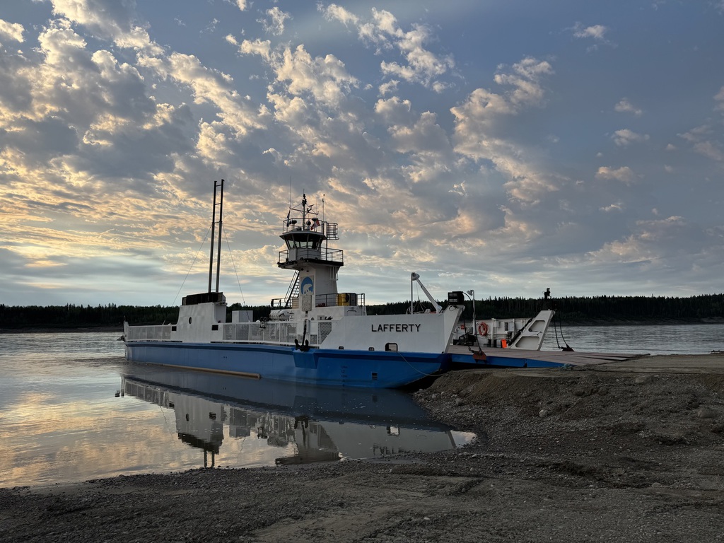
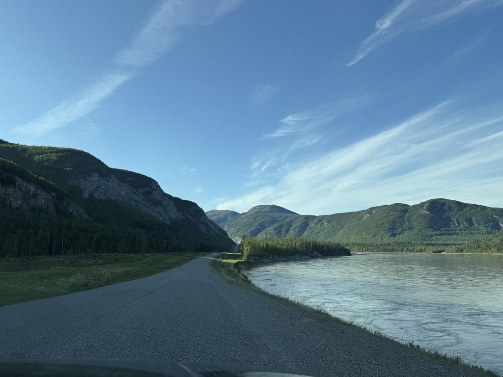
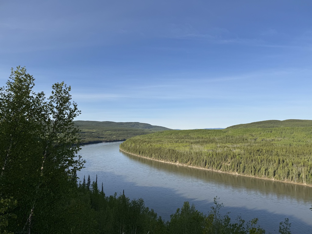
We eventually reached the junction with the Mackenzie Highway (NWT Highway 1) and turned west onto the paved section towards Fort Simpson. But first we had to cross the Liard River on the free ferry, the MV Lafferty. The short 10 minute crossing went without a hitch (ice road is used in the winter, but Fort Simpson is cut off by road in late Fall and early Spring for freeze and thaw). The ferry had only started running for the season the week before we arrived.
We stopped for gas in town and then checked into the Willows. A very nice place, considering where it is and very nice current owners. We had a walk around town, it’s a bit rough round the edges, but everyone was very friendly, and we got some free stuff at the visitor’s centre. Unfortunately, our dinner plan was thwarted by a wedding in Toronto, so we had to settle on the Nahanni Lodge. Perfectly edible, fish and chips but not great value and nothing memorable.
We looked around town a bit more before retiring.
Km/Miles Driven: 622km/388m
Bear Score: 6 Black Bears
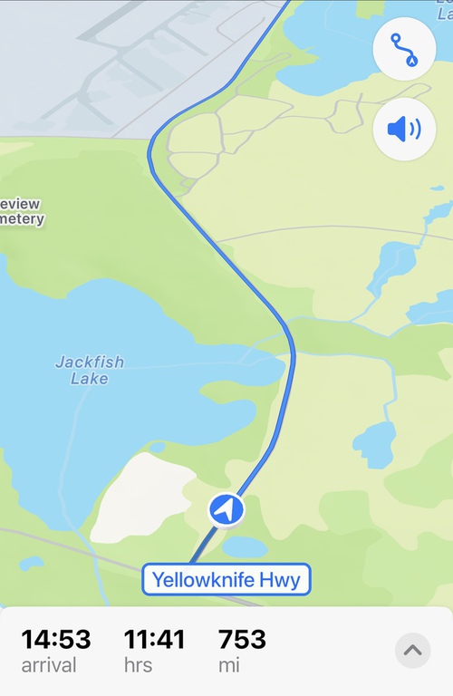
Day 7 - Fort Simpson to Yellowknife
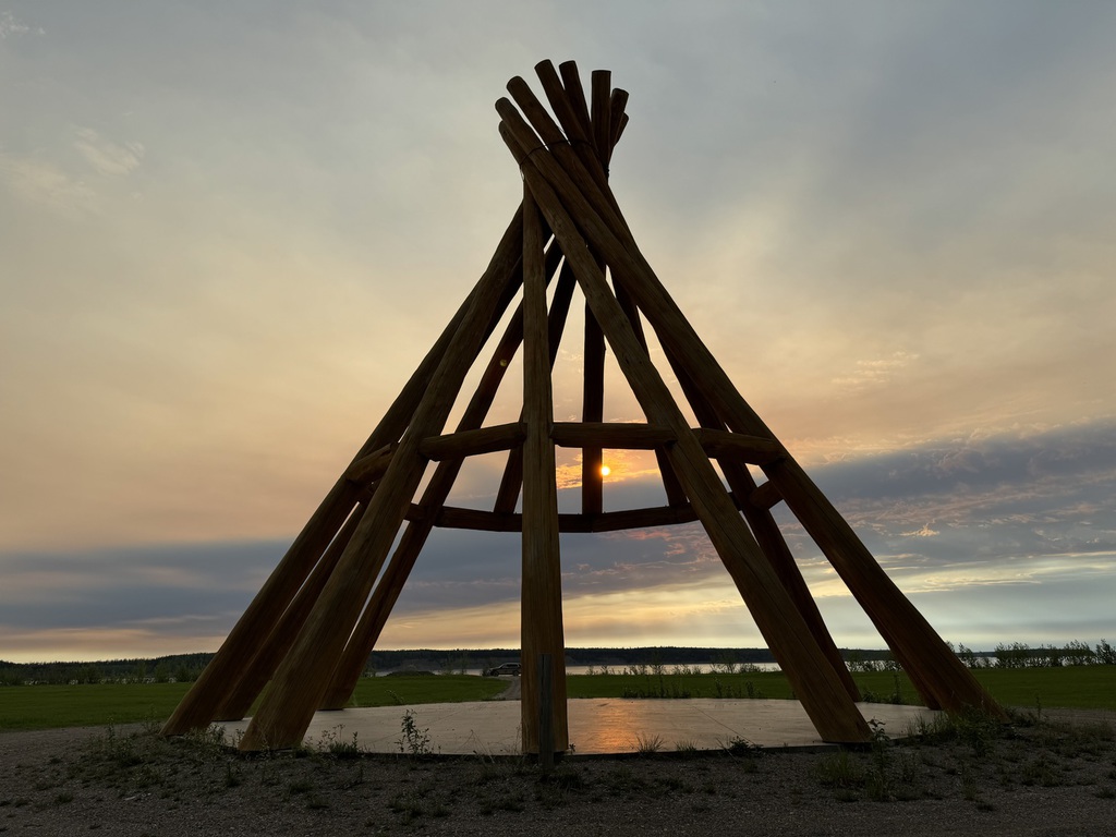
We were up early and enjoyed the DIY breakfast items at the Willows, including some eggs, before setting off to catch the first 8am ferry of the day. On the way out of town we stopped at the Edhaa National Historic Site ( Papal Grounds – the Pope visited in 1987) and the world’s tallest wooden Teepee.
The ferry was bang on time, rush hour was all of two vehicles, and we were soon retracing our steps to the junction of the Liard and MacKenzie Hwys and surprising the flag guy at the bridge works.
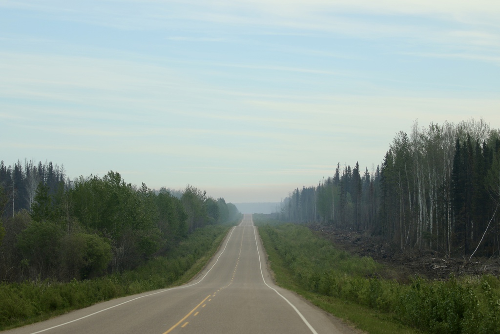
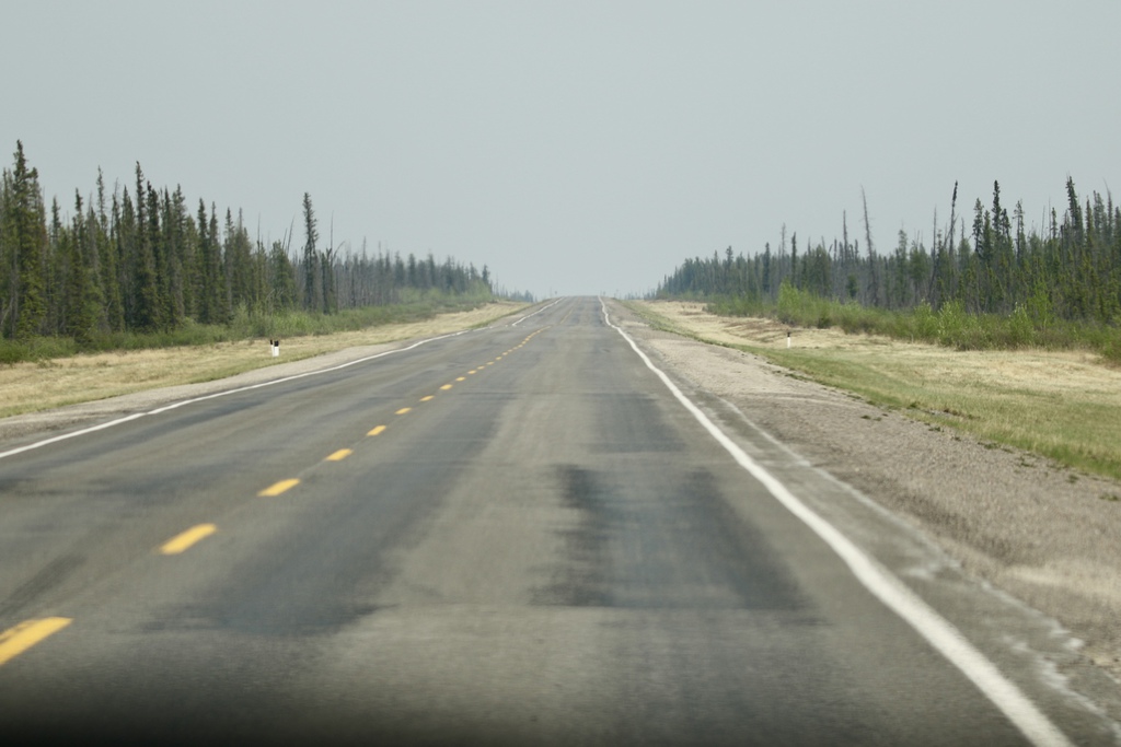
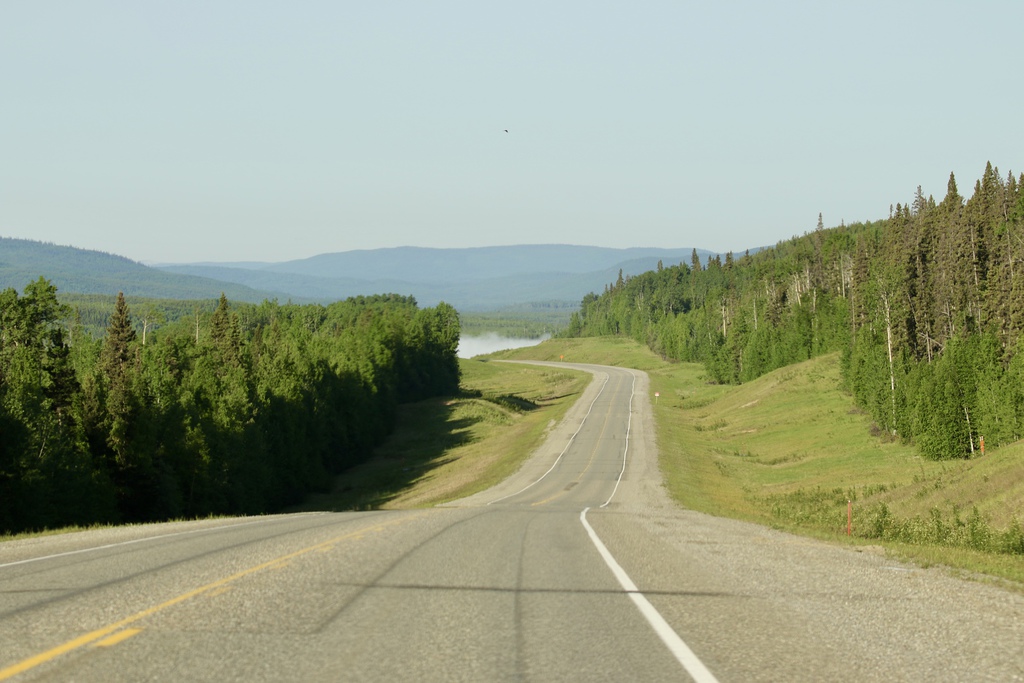
Then it was km’s and km’s of gravel through pretty dull monotonous scenery and little roadside wildlife. The road was in great condition and good time was made at 100kph on several sections. It was also very warm, 30 degrees Celsius!!
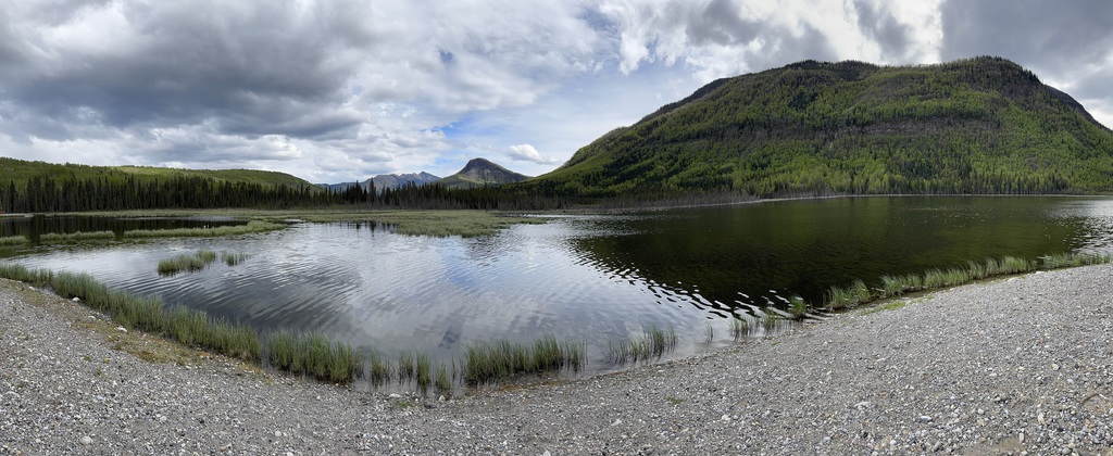
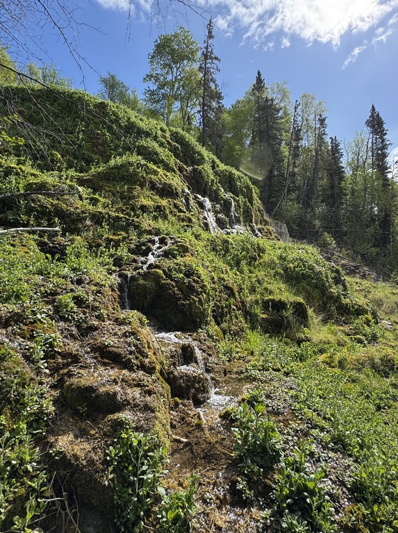
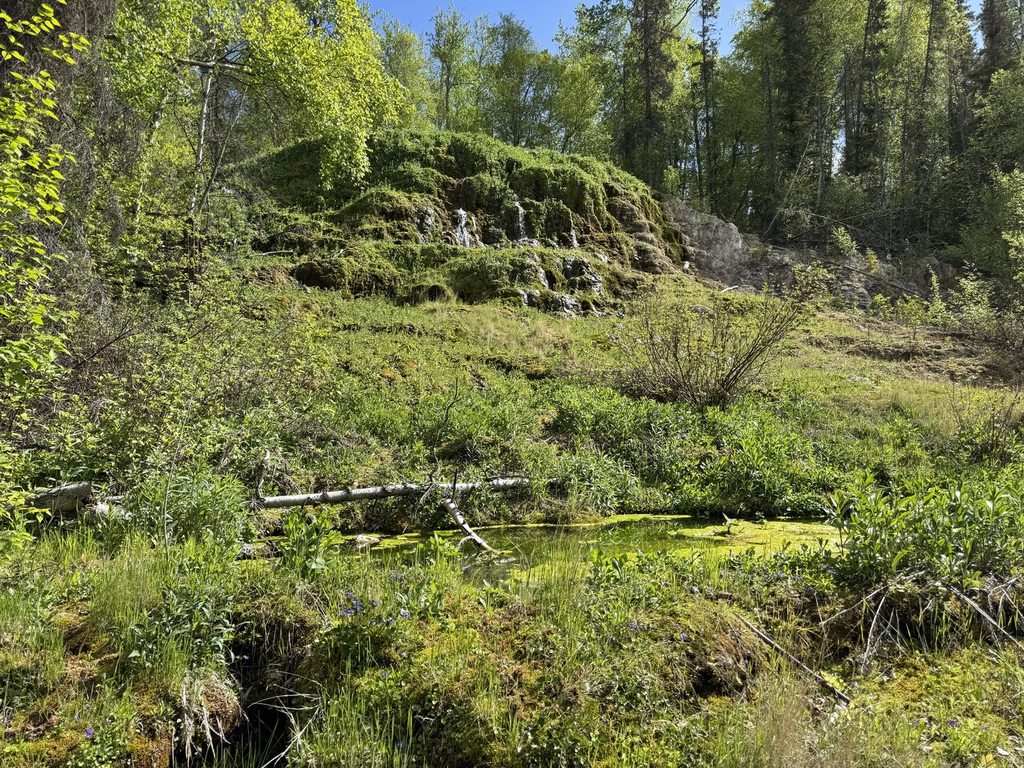
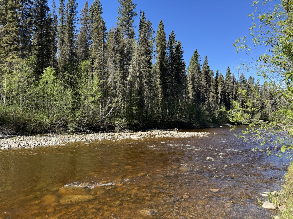
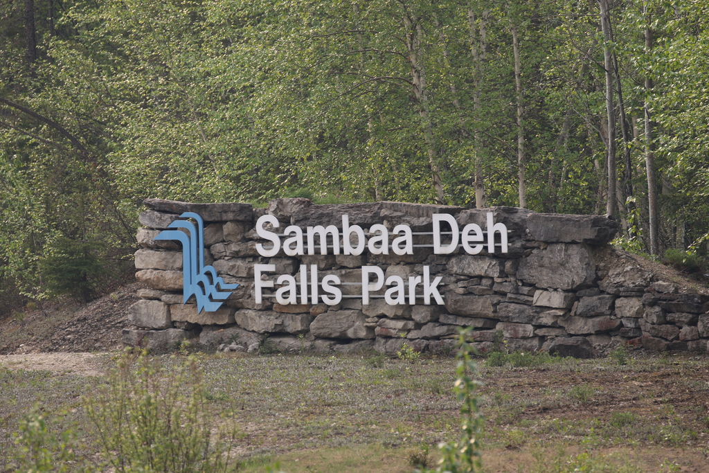
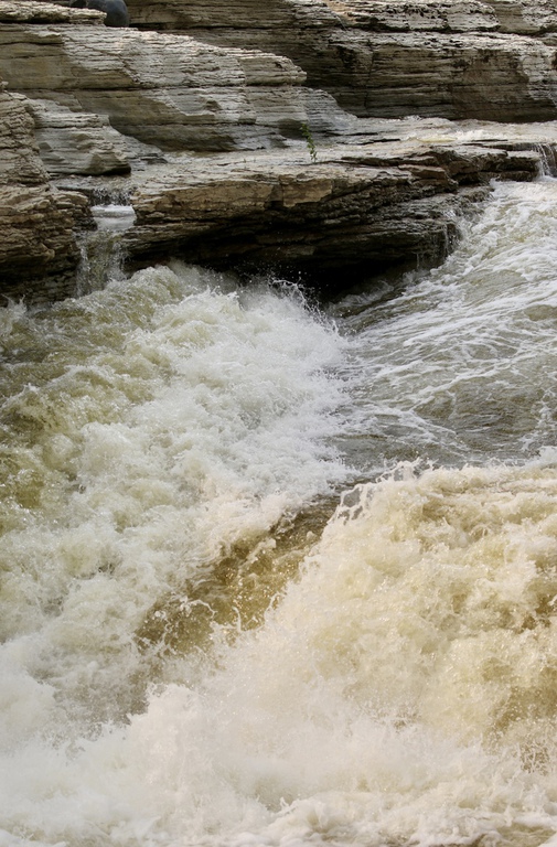
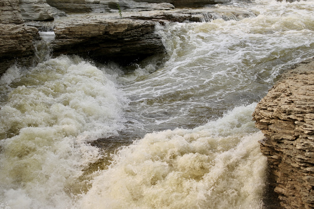
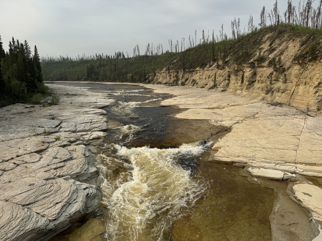
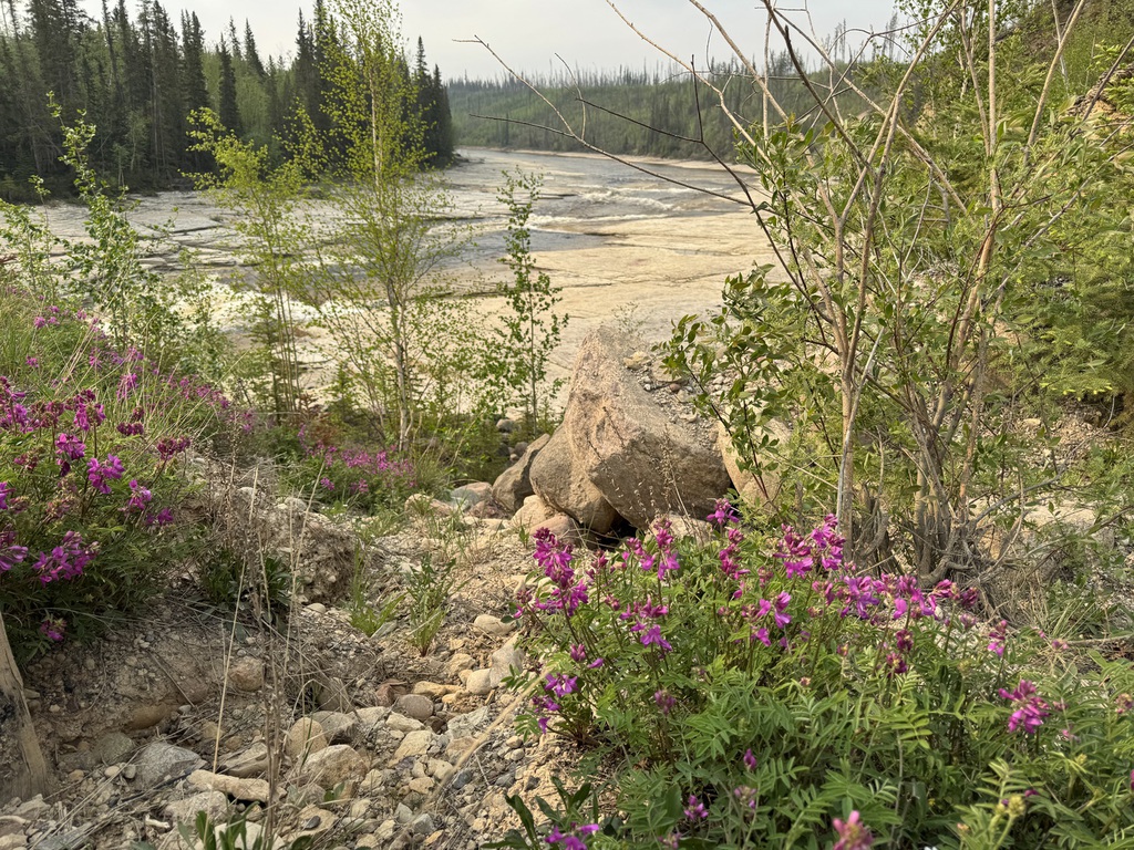
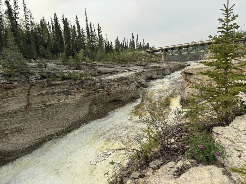
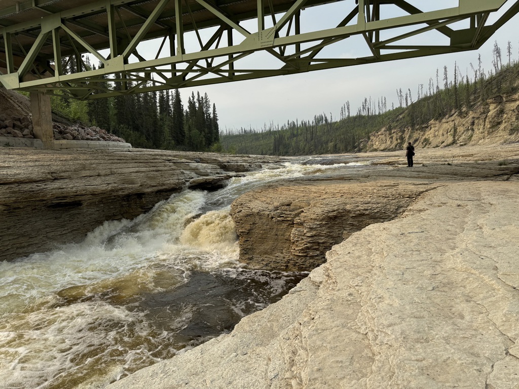
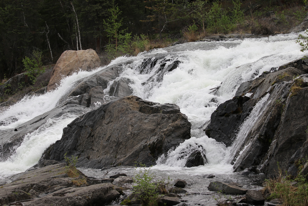
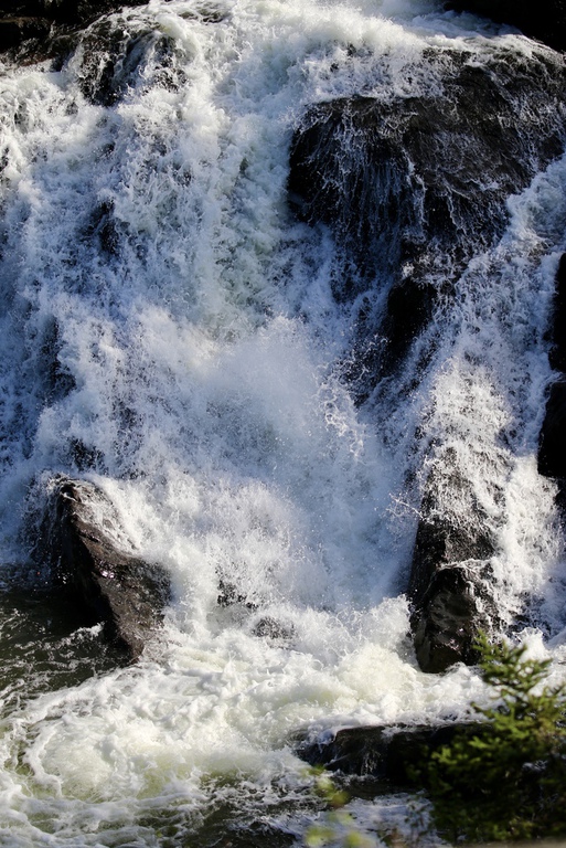
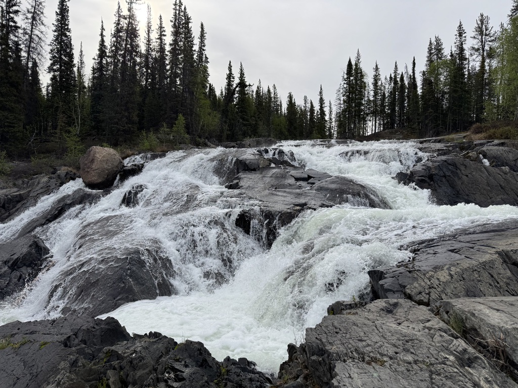
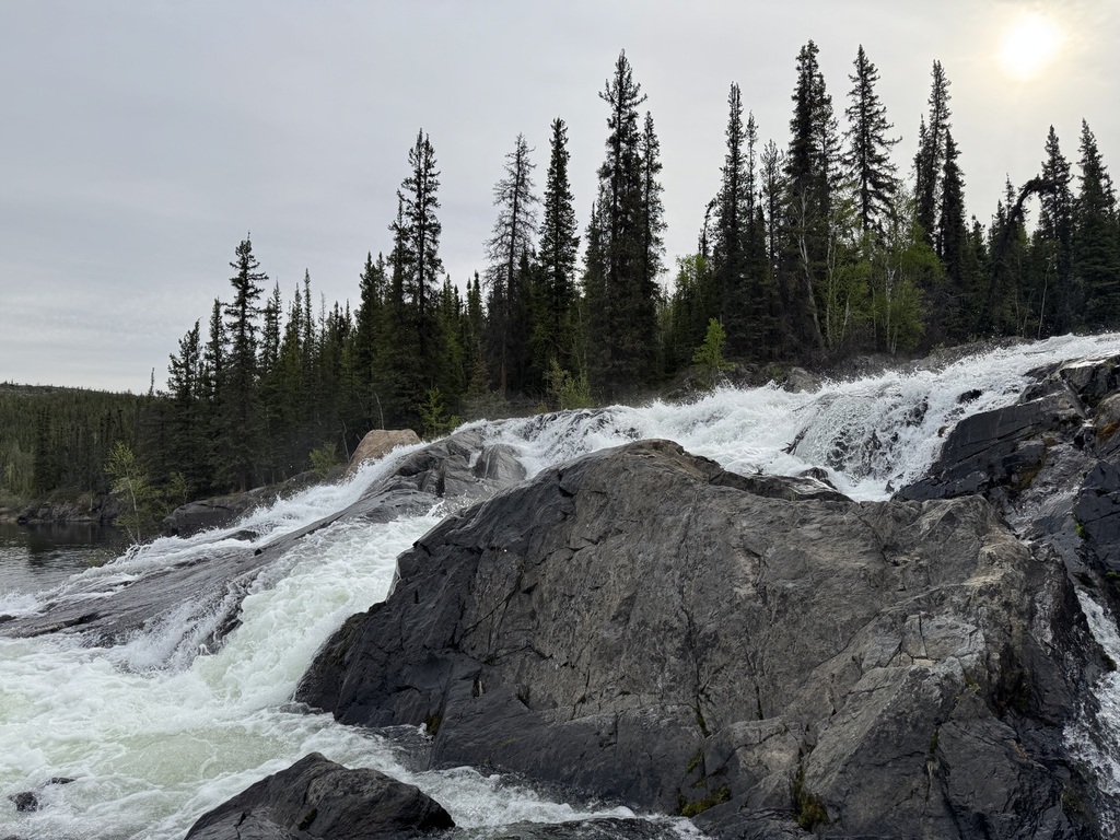
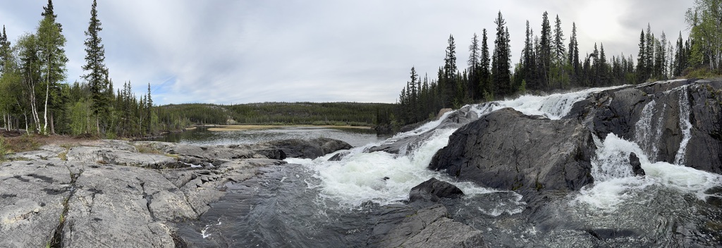
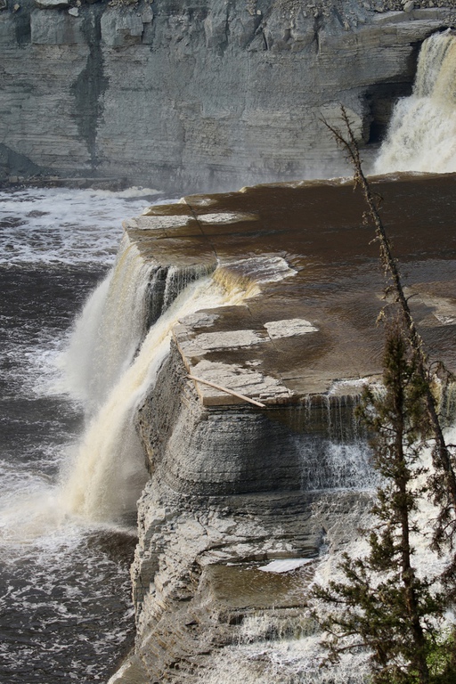
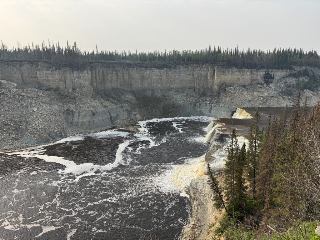
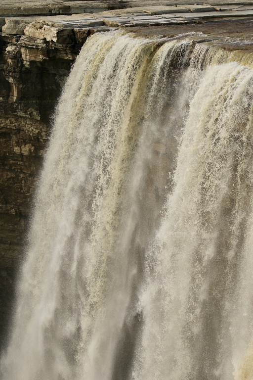
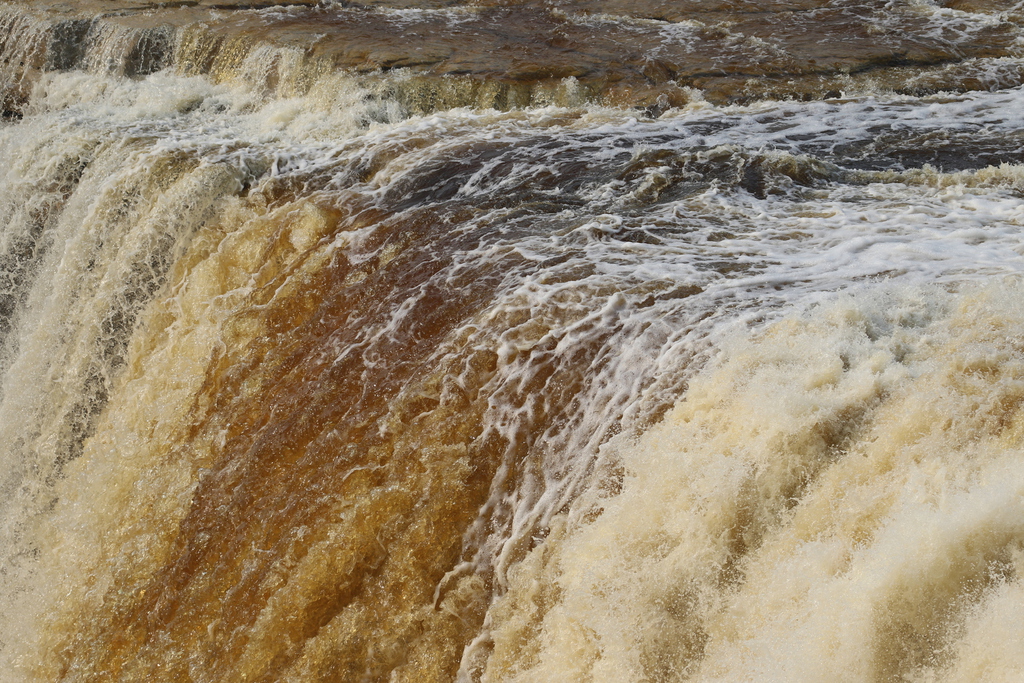
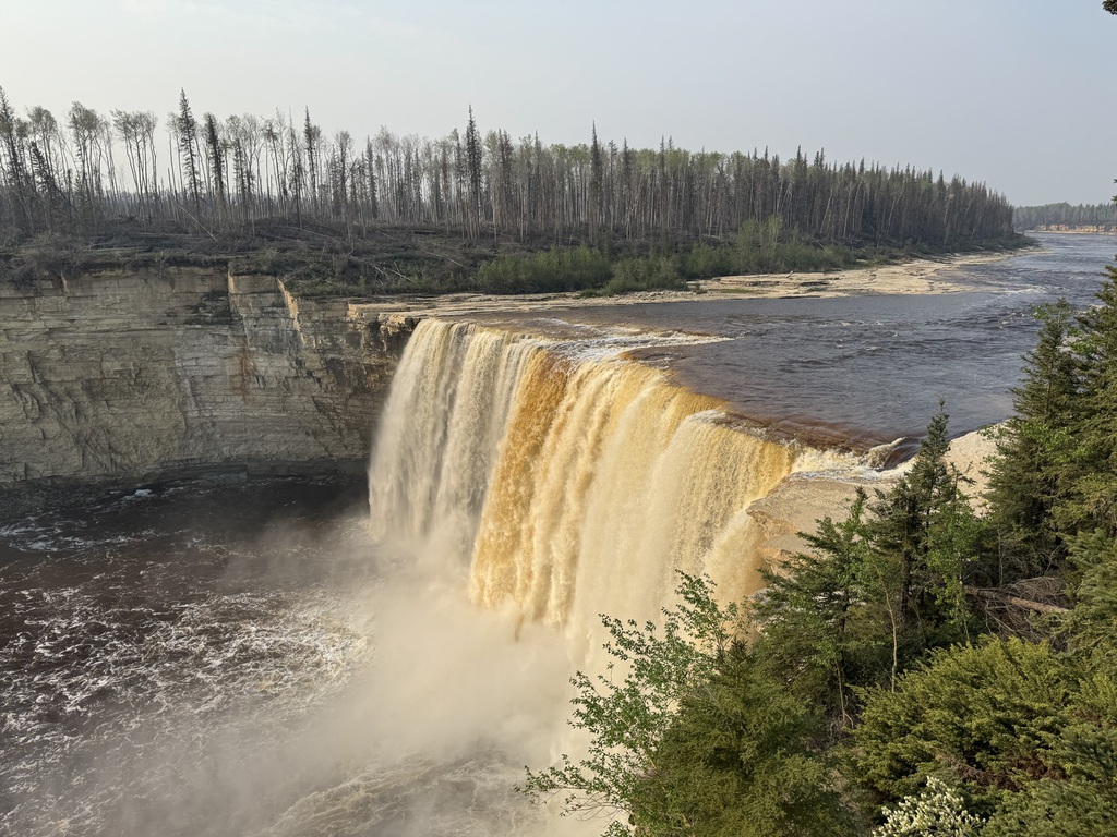
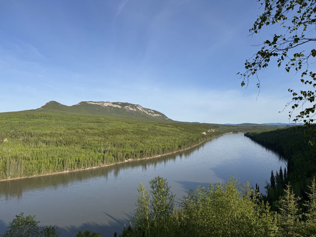
We stopped for a welcome break at Sambaa Deh Falls Park and what a pleasant surprise it was. Scenic highlight of the day so far and we had a nice chat with Ryan, the First Nation resident ranger.
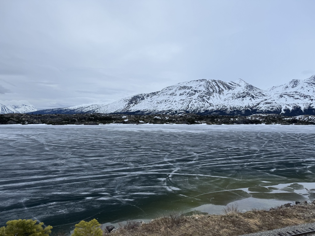
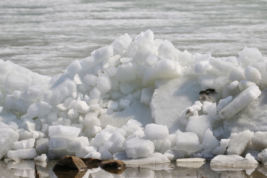
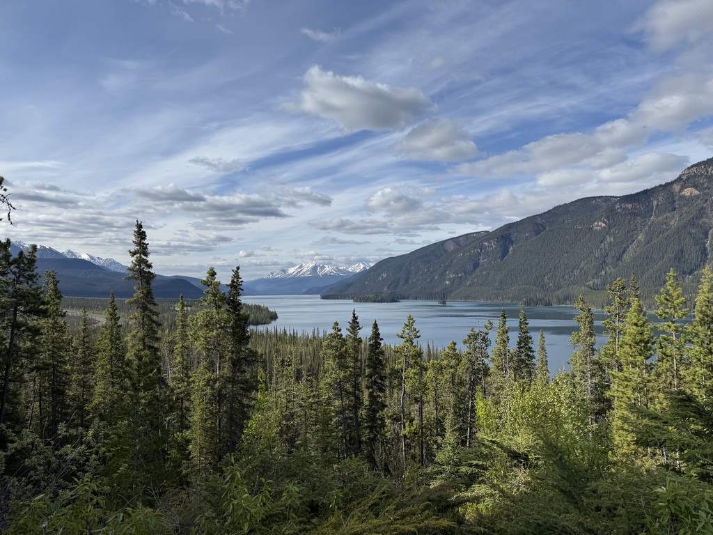
We finally reached the junction with the Yellowknife Highway, turned north, and after crossing the Deh Cho Bridge over the MacKenzie River and made a fuel stop (and had a $10 Tuna sandwich!) at Fort Providence. We didn’t see any Bison. The scenery finally got a lot less tedious as we approached the Great Slave Lake, which still had a good covering of thawing ice on it and we saw the local residences built on the Pink granite outcrops at places like Enzo.
Finally, we arrived at Yellowknife and checked into the Chateau Nova for 2 nights. We had dinner in the bar before watching the Stanley Cup playoffs.
Km/Miles driven: 625km/390m
Bear score: No bears!
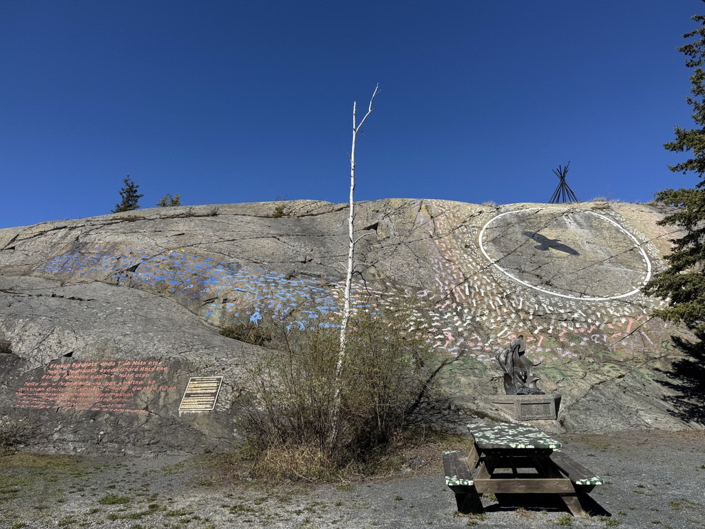
Day 8 - Yellowknife
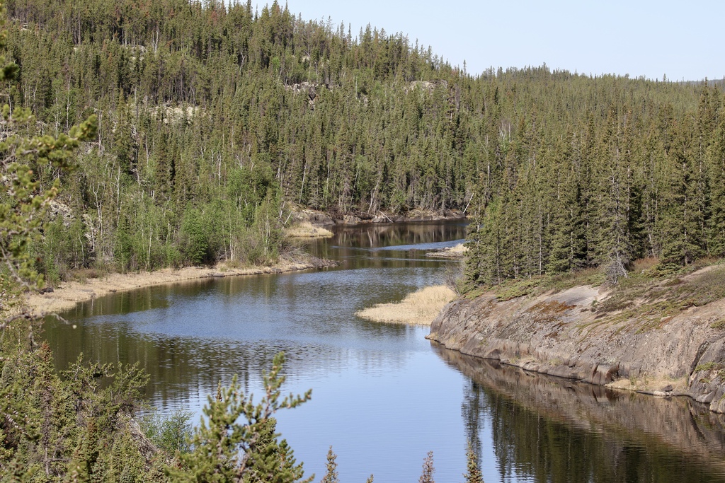
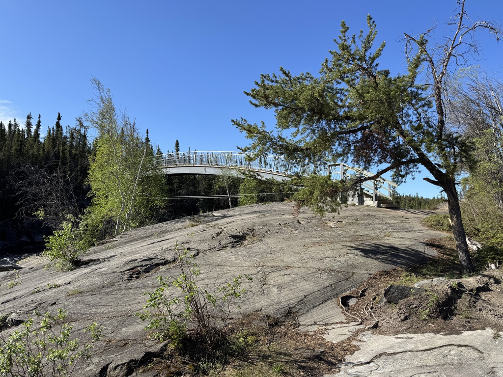
Up and out at dawn, we headed about 70km to the end of the paved section of the Ingraham Trail near to Reid lake, then worked our way back to Yellowknife, stopping at various locations.
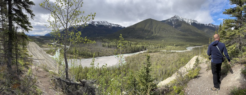
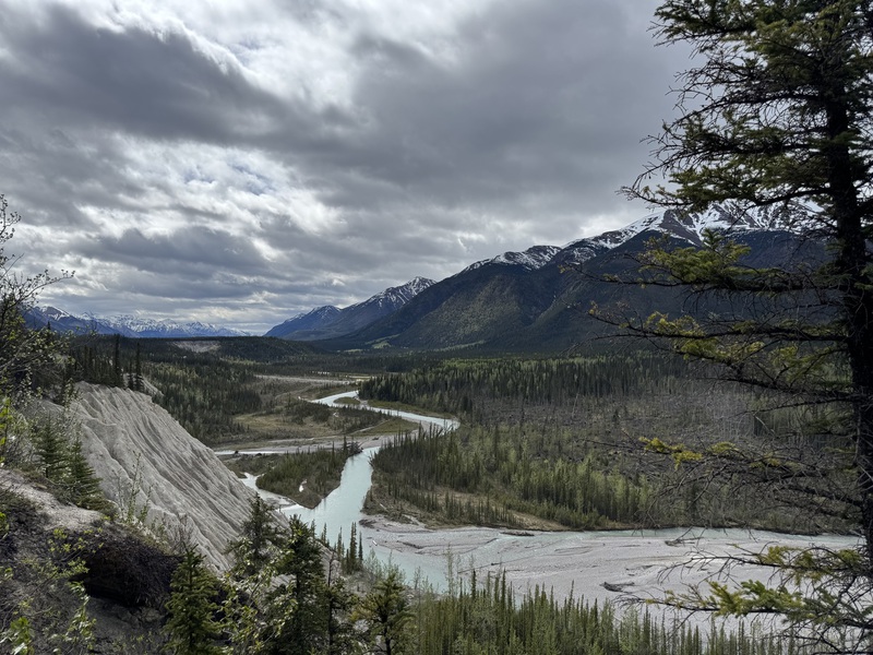
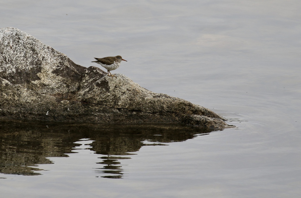
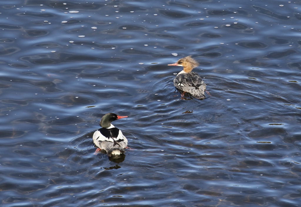
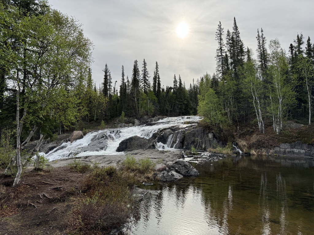
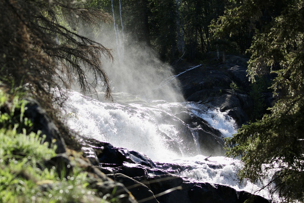
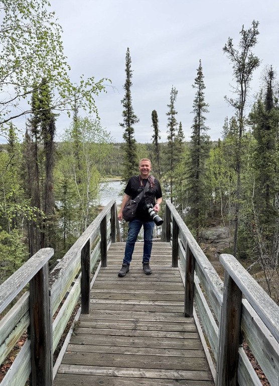
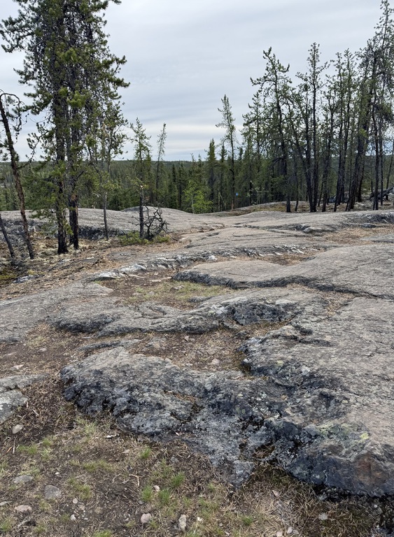
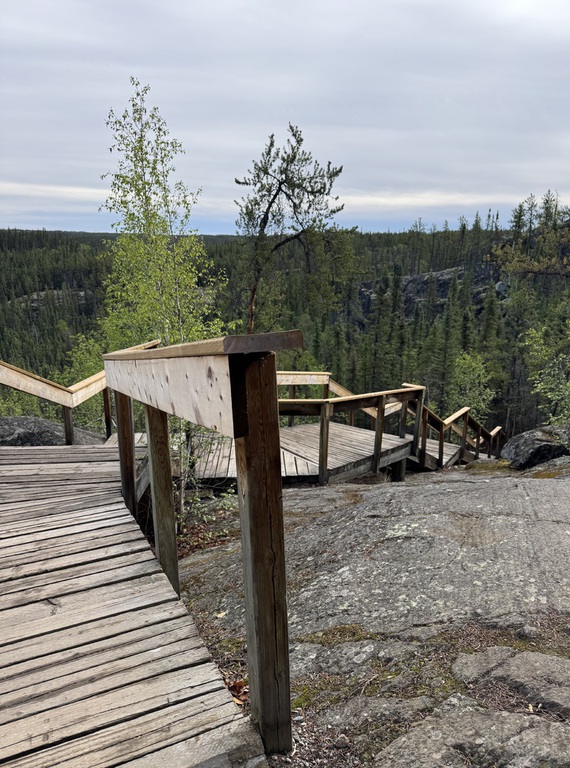
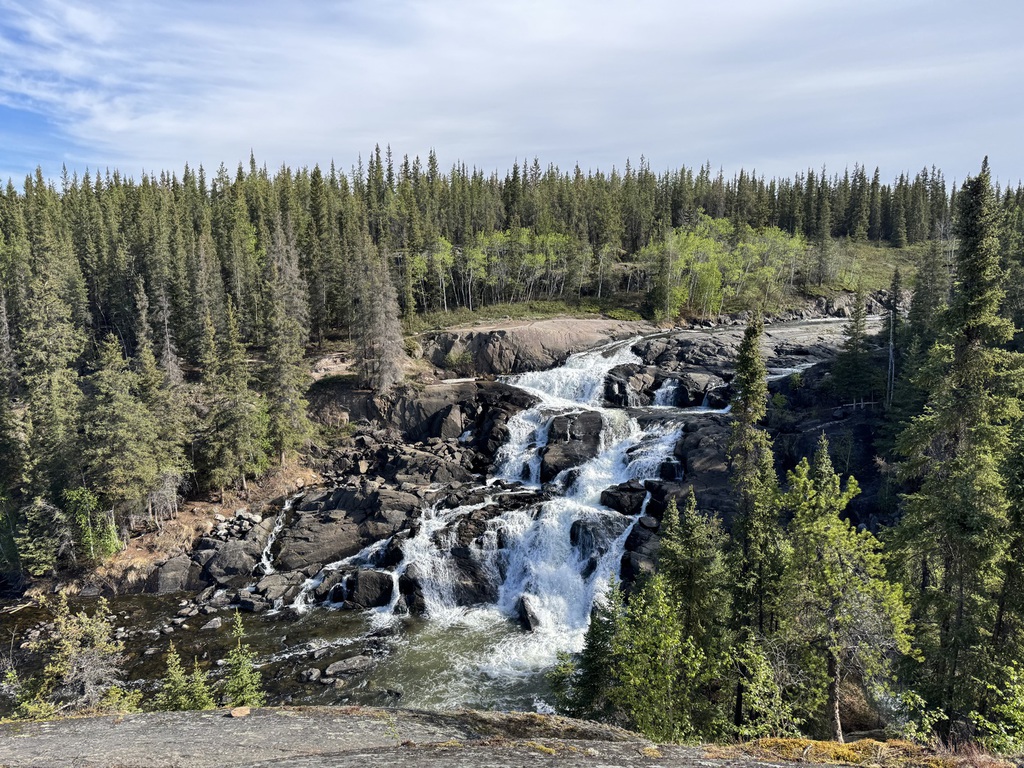
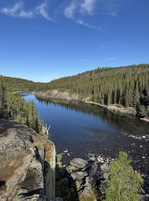
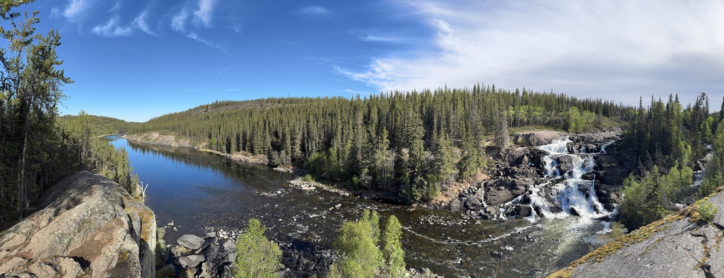
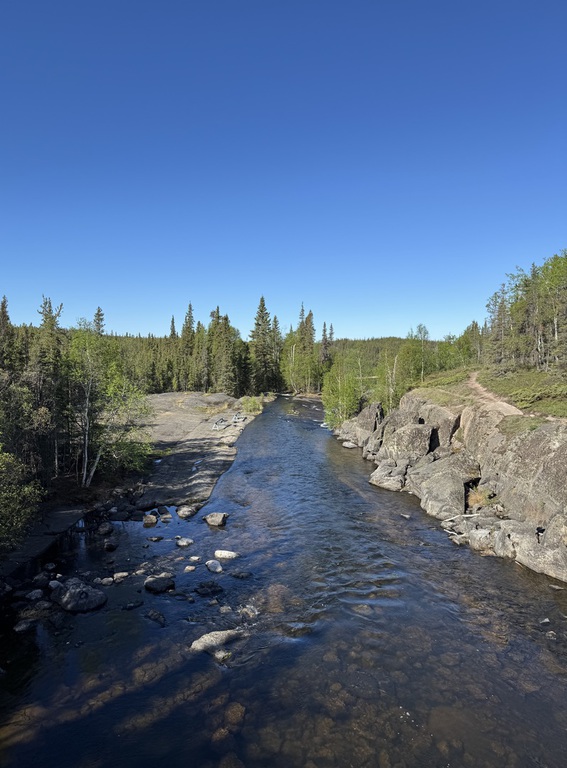
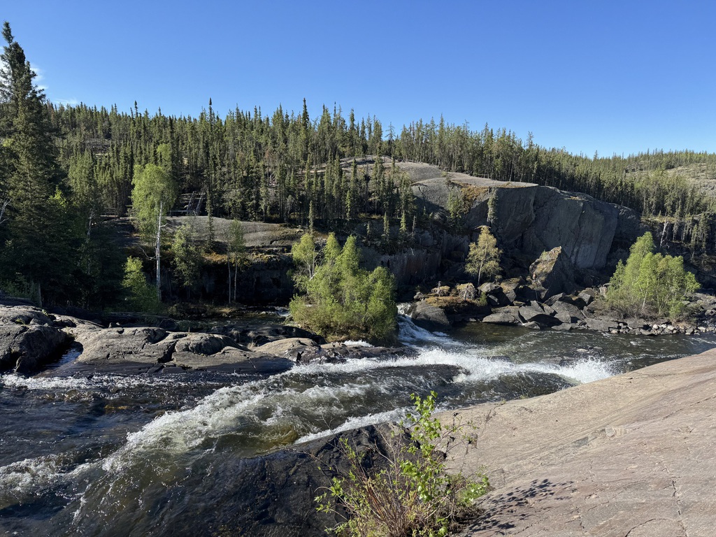
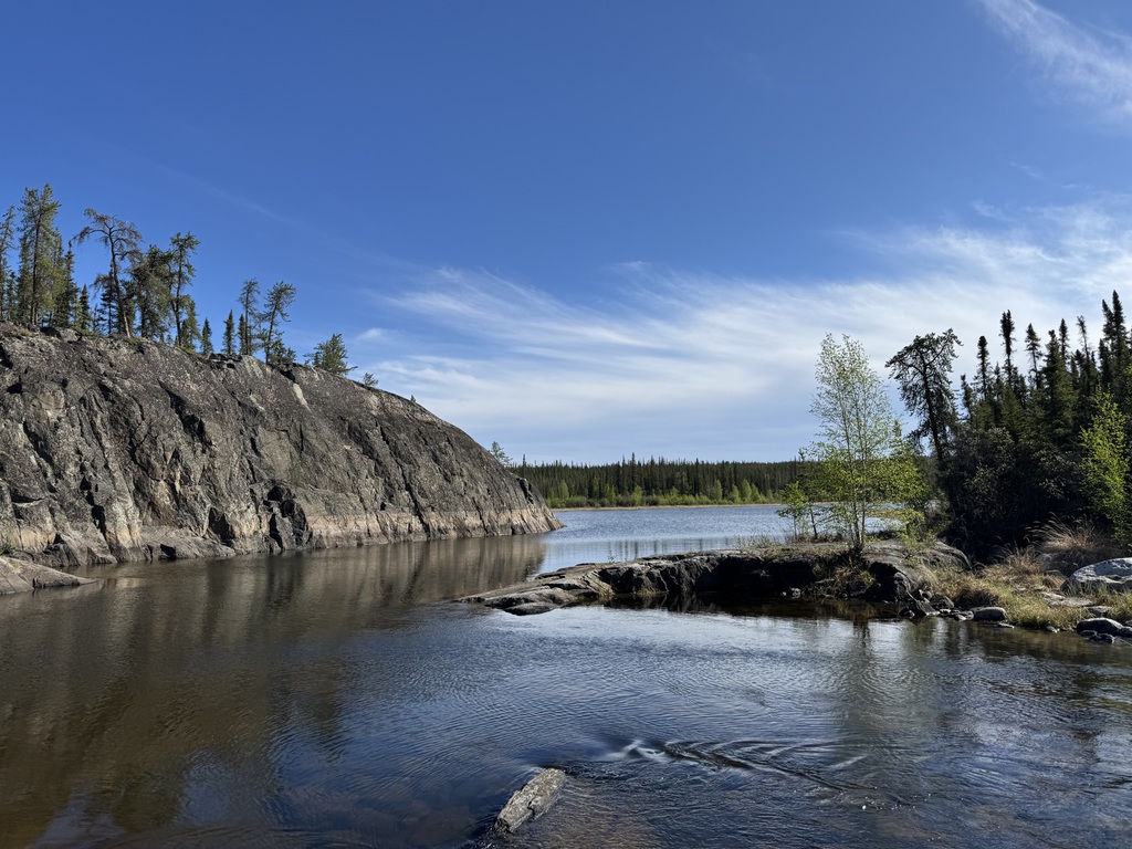
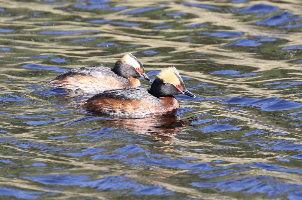
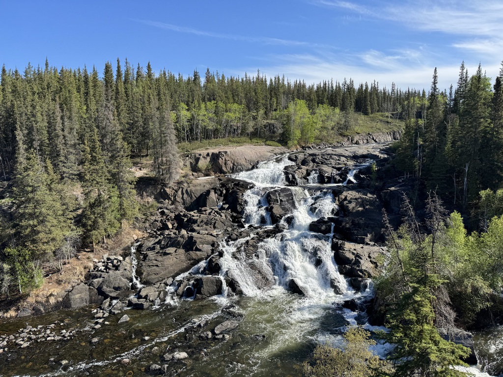
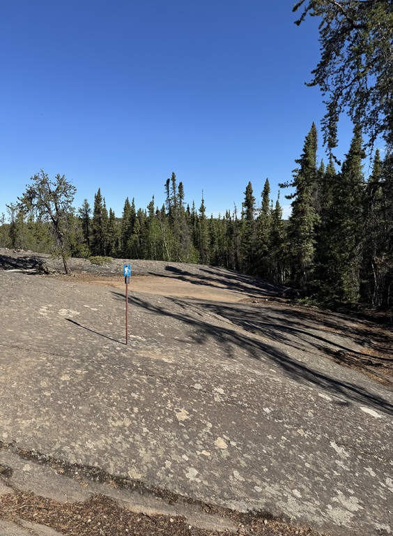
First was Cameron River Rampart Falls, and we did a short hike across the granite to the falls and back. Then to Hidden Lake TP and Cameron Falls, and a longer hike there and back, and no one else around at either location…other than some ducks and dippers etc.
Then back to Yellowknife, past the arsenic contaminated surrounds of the Giant Mine site on the edge of town.
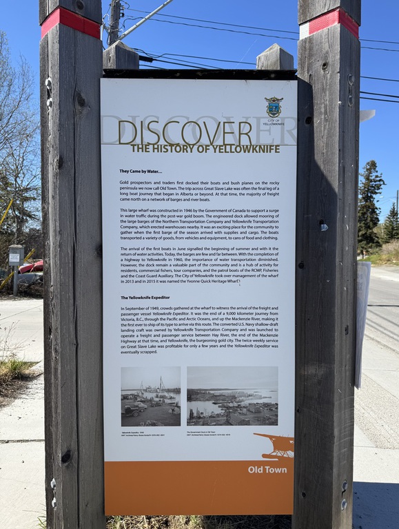
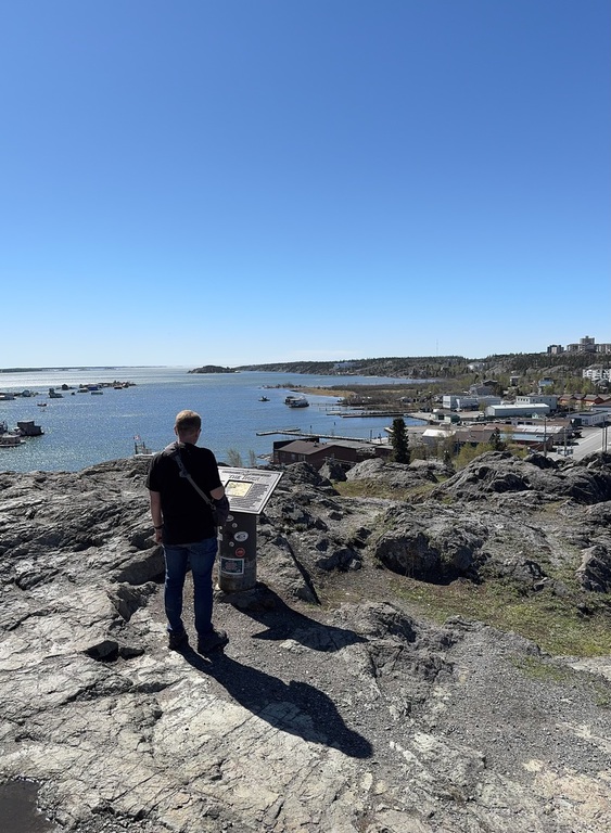
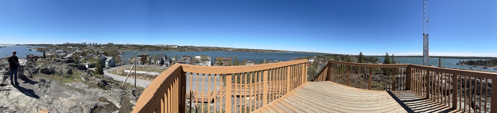
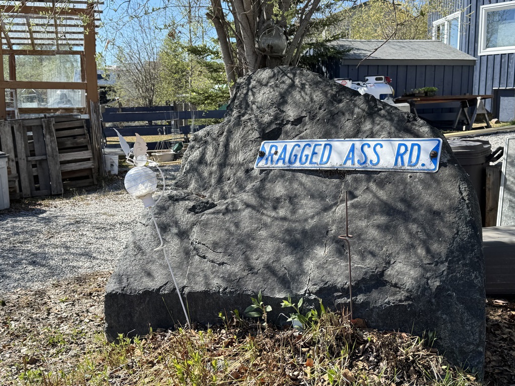
We drove into the Old Town area, and parked at the NWT brewery, before a walking tour, which included the Bush pilots monument and Ragged Ass Road (the original sign had been stolen it appeared).
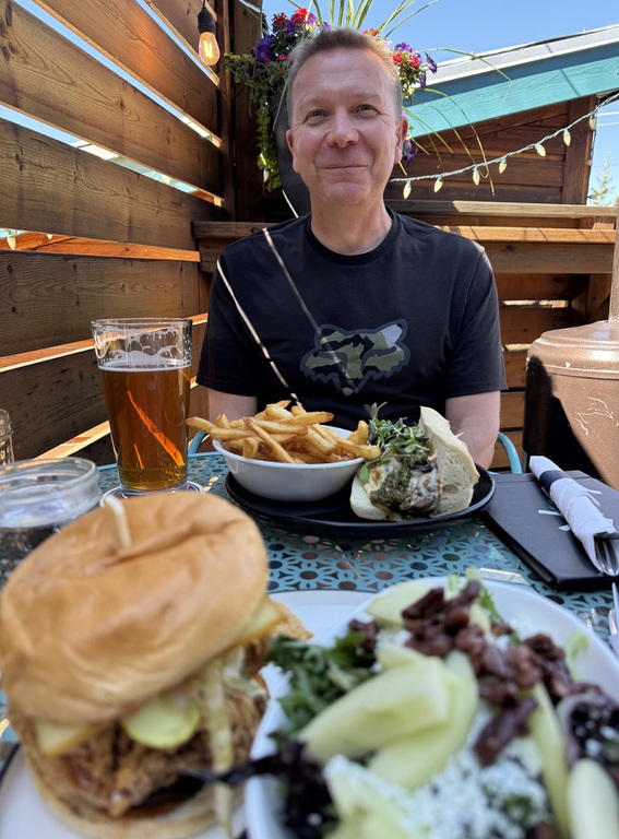
Then we had lunch and a pint at the the Brewery.
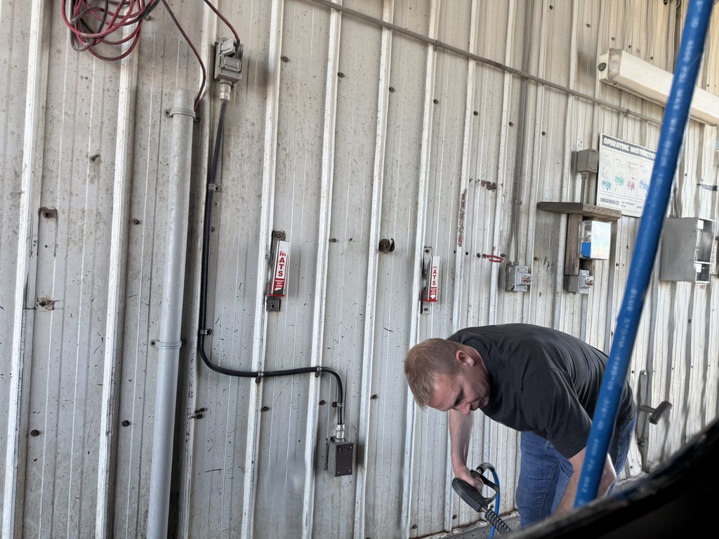
We found the Walmart and the local car wash, before heading back to the hotel. I walked into town to get a few things and discussed the apparent boycotting of US fruit with a couple of locals in the supermarket (loads of unsold and decaying US grown strawberries, although less than half the price of the Canadian ones).
We again ate in the hotel bar, but the locally caught fish and chips Friday special was not as good as the burgers the previous night.
Km/Miles Driven: 151km/94miles
Bear score: No bears!
Day 9 - Yellowknife to Fort St John!
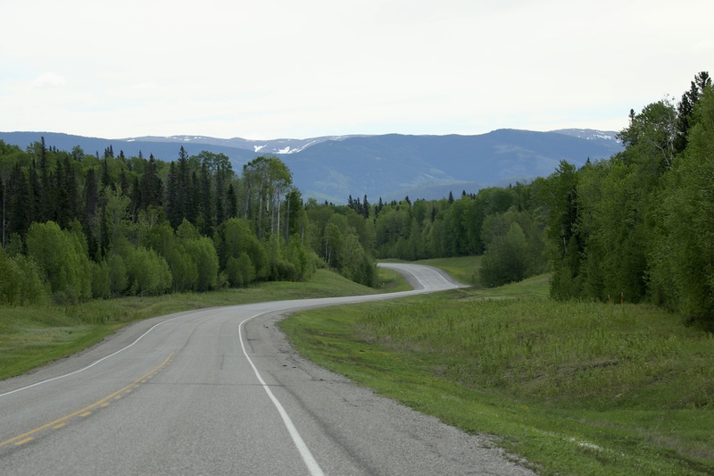
Originally, we had planned to return to the Northern Rockies via the MacKenzie and Liard Highways, again with an overnight in Fort Simpson. But lots of the drive had been pretty dull, and limited wildlife to see, so we decided we would go back the long way! Which meant we would today do the longest day drive we ever had. The plus points being we would see a different road, some more of the waterfalls route and a bit of Alberta……and not much more gravel.
So off at dawn.
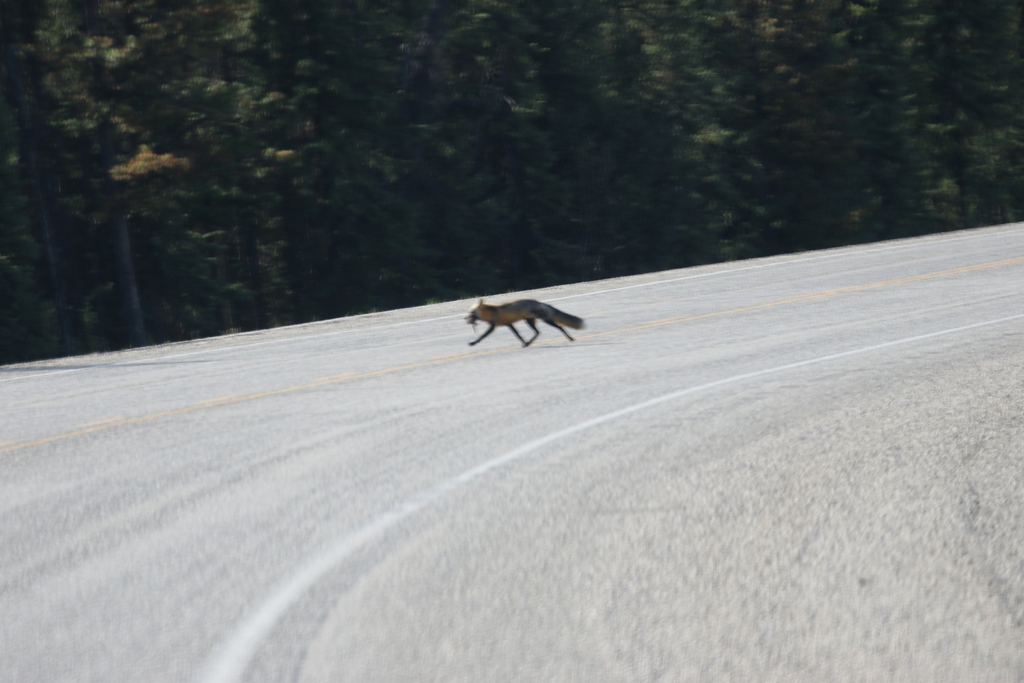
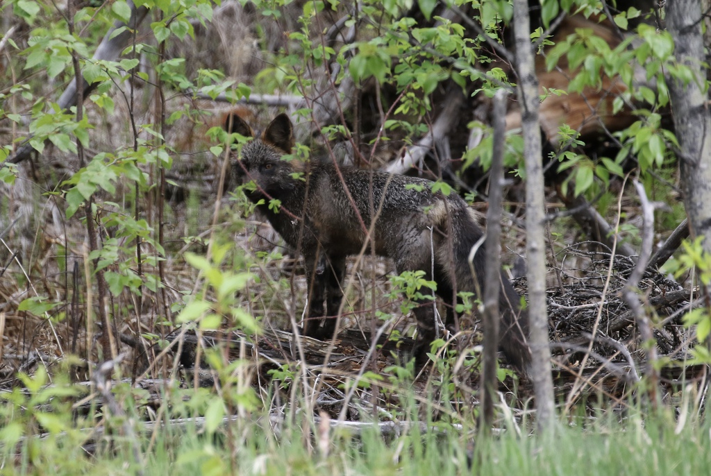
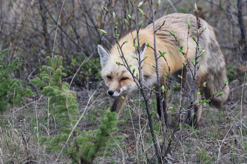
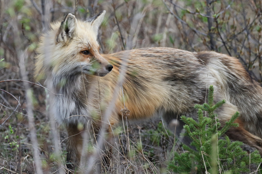
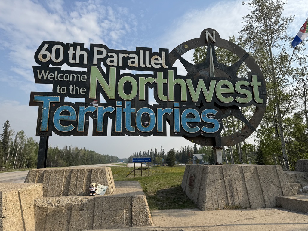
We did ok with early wildlife spotting, two back bears, a fox, and some of the Fort Providence bison herd. Plus, we saw much of the devastation of the 2023 wildfires around Enterprise. We stopped briefly at both Louise and Alexandra Falls, before the NWT visitors center at the Alberta border. We had a chat with the resident staff and got our 60 degree parallel certificates.
Well, if the MacKenzie was dull in bits of NWT, the route through Alberta south was no better. Km after km of dead straight, flat road, with pineous monotonous alongside, until it changed into km after km of farmland around High Level. Although we did spot on Alberta black bear, and the swarm of black bees or wasps that buzzed around me as I filled the car at Meander River was interesting, but fortunately they were more fixated on RAH!
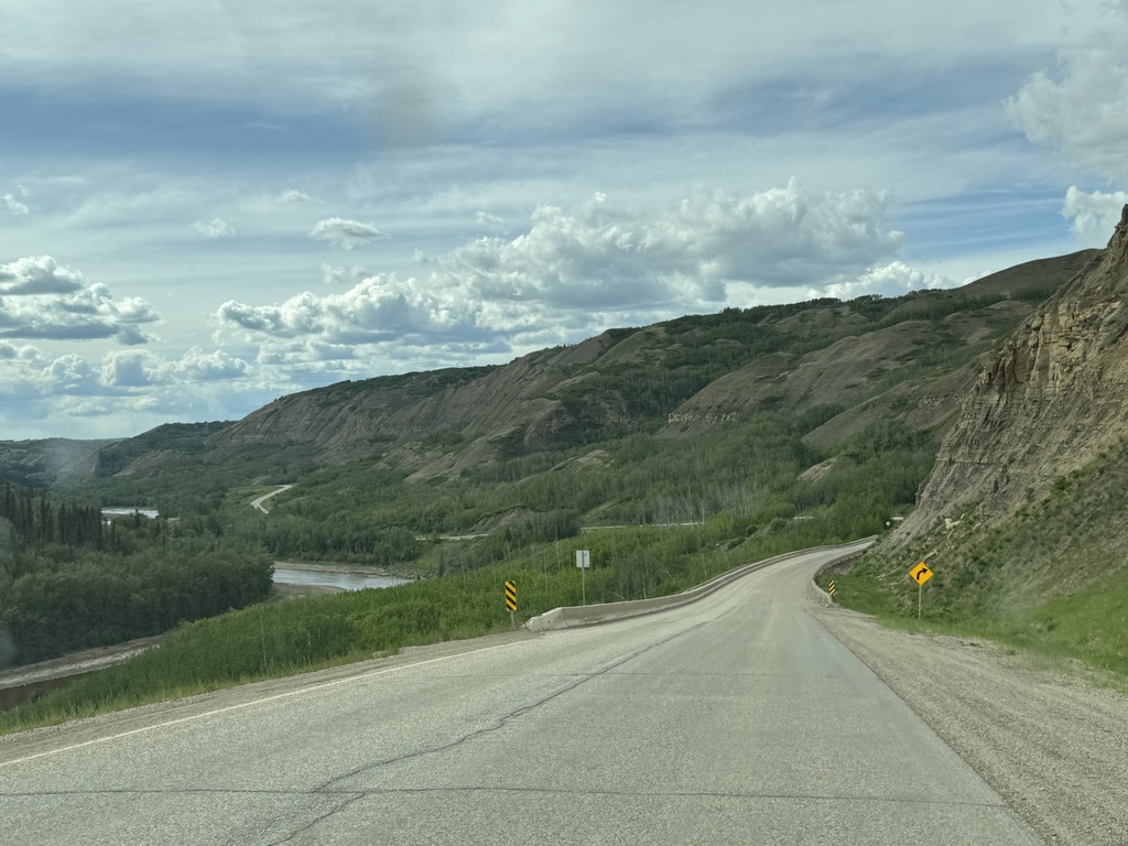
Eventually, we reached Warrensville and turned west towards BC and Fort St John. The scenery got a bit better and the finish was probably the most interesting bit of the drive since the NWT, with a large gravel hill and an interesting structure across the Beatton river.
We arrived at out hotel after about 14 hours, and over 1200km (750 miles), and some wildfire smoke as we got further south.
We had dinner in the attached Dennys, which has a bar and is pretty good, and then had a rest!
Km/Miles driven: 1206km/754m
Bear score: 3 Black bears.


Day 10 - Fort St John to Muncho Lake
We had breakfast and then set off back north up the Alaska Highway to return to the Northern Rockies. We also had our first rain of the trip for the first hour or so.
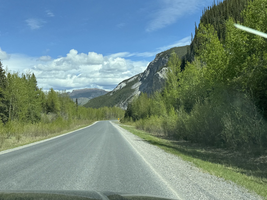
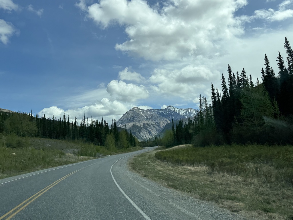
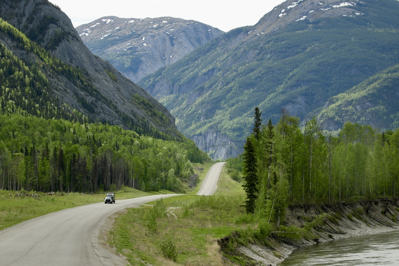
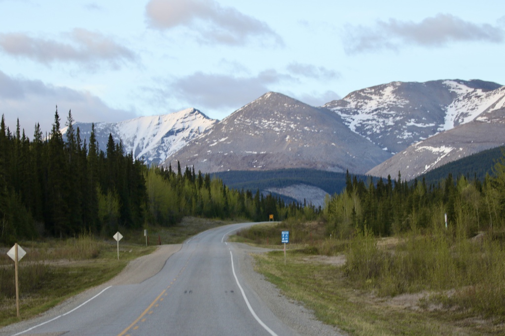
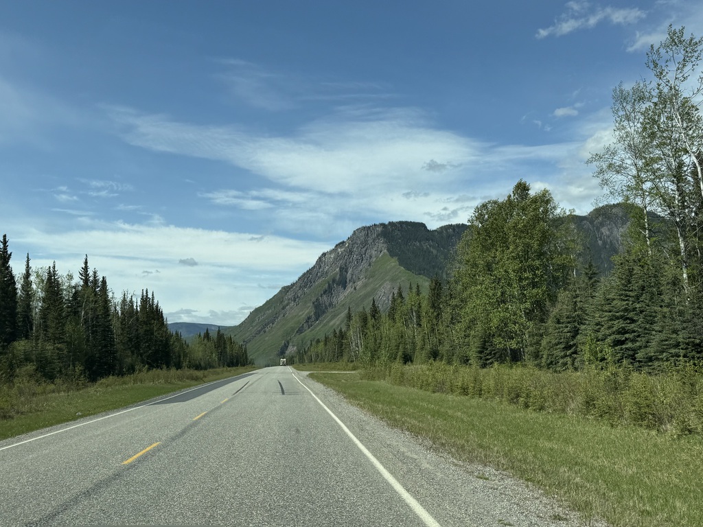
Now, I’m not a big fan of the Alaska Highway on scenic value south of Fort Nelson, but compared to the route through Alberta, it’s a total step up in terms of scenery and topography.
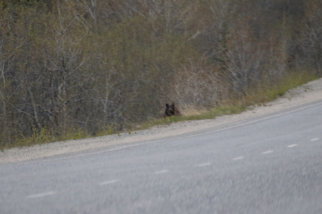
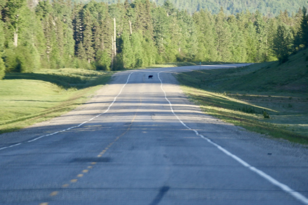
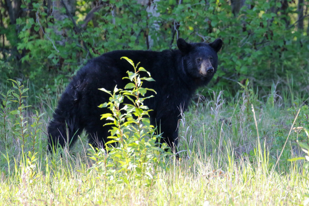
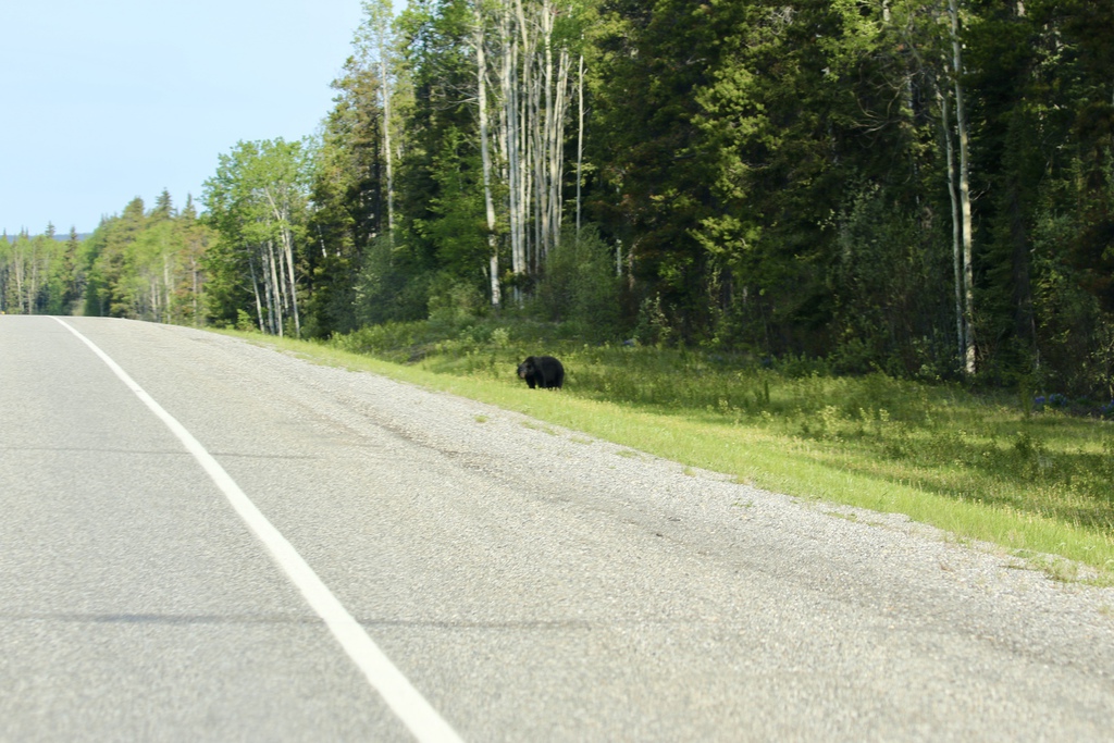
We saw the wildfire around Trutch which apparently caused smoke issues on the highway later that day when the wind direction and strength got up, it was smoky but blowing away from the highway when we passed. We saw a black bear along this section of the road.
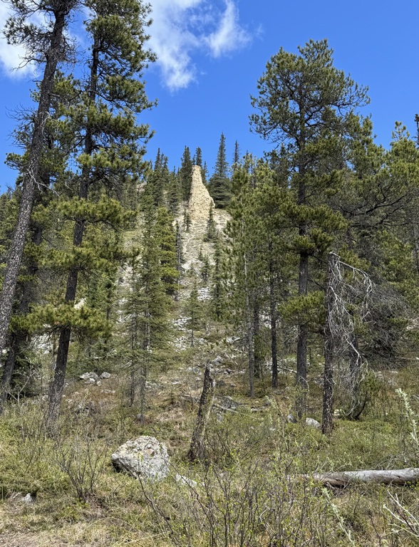
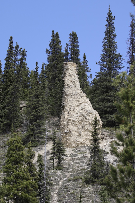
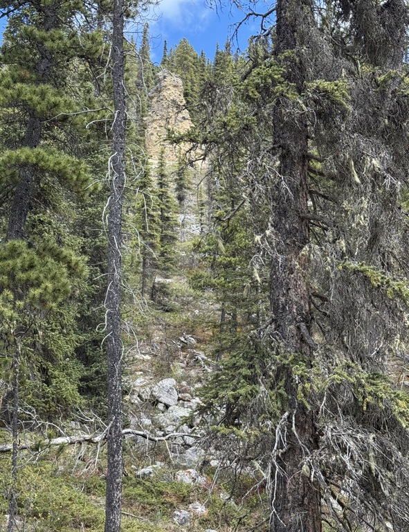
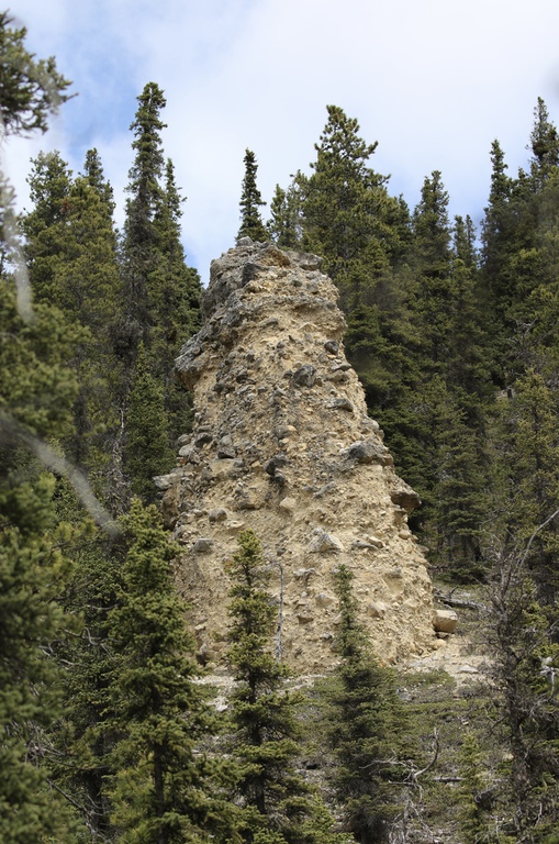
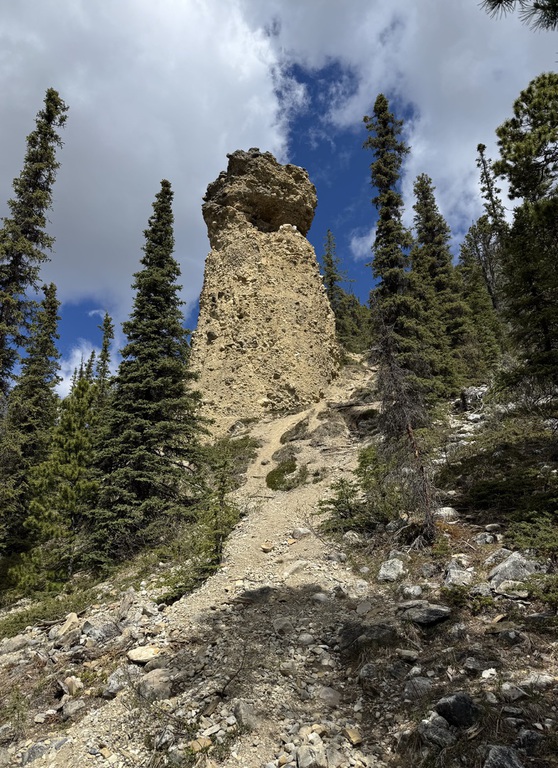
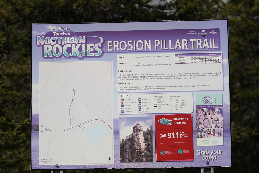
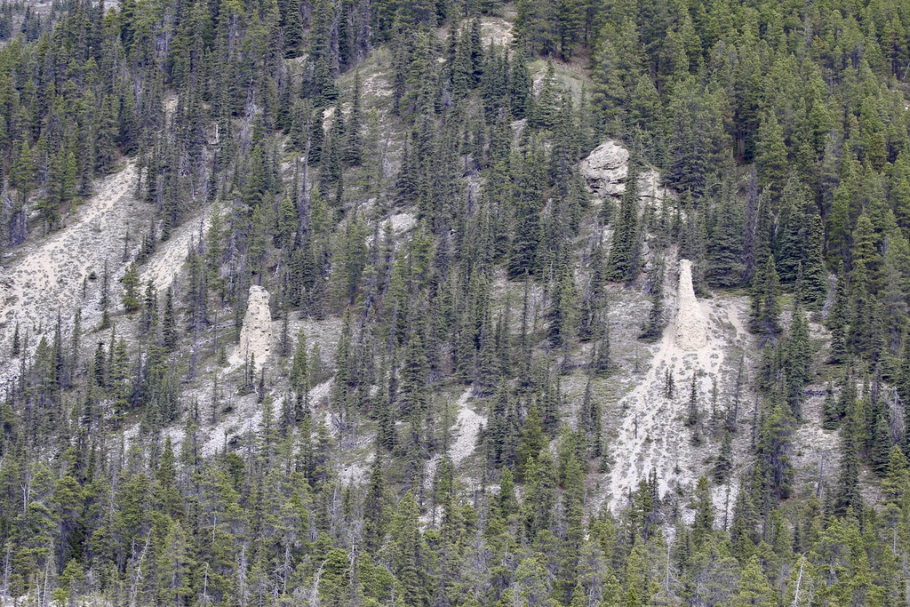
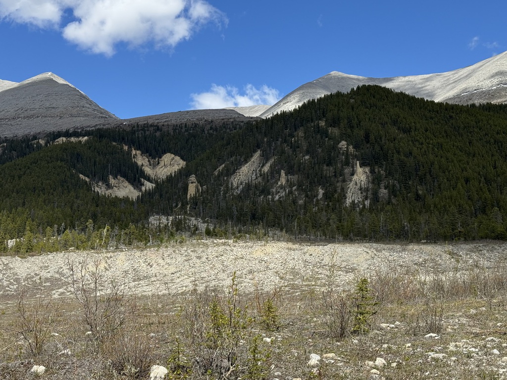
We had short stop in Fort Nelson for gas and a look around the visitor center, then back to Toad River, closing the big loop at the Liard Hwy junction and taking a stop for a short hike and leg stretch at the Erosion Pillars, before calling in for a late lunch at Toad River (as we have eaten at Northern Rockies lodge before and were not keen to repeat it!) and we had a mid-afternoon arrival at our accommodation for the next two nights. We again spotted Moose and Caribou along the road.
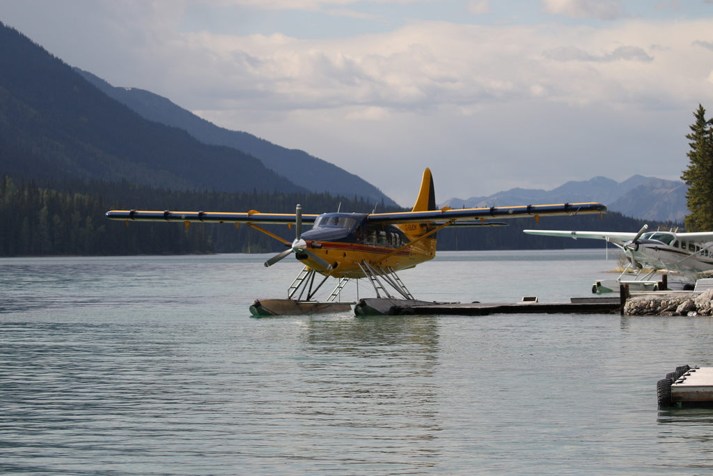
We had been unable to book a lake side cabin, as they now hold them for ‘packages’ including float plane trips for fishing etc. However, given the lake was unfrozen, the cabin views were mostly of docked float planes anyway. We had a new large cabin and were a bit surprised at the lack of facilities, in comparison to Toad River Lodge, for the more expensive cost. No fridge, no coffee maker etc, as well as a warped sticky door. Anyway, in retrospect, whilst the location is fabulous, next time we will just use Toad River Lodge and save a load of cash (would have lost our deposit if I’d cancelled this time).
We spent the rest of the day around the lake, finishing my now warm beer and some snacks. The burgers at the lodge bar are ok, but the set menu (C$75 per person) is not good value based on our previous visit, so we gave it a miss.
Km/Miles driven: 629km/393m
Bear score: 1 Black bear
Day 11 - Northen Rockies
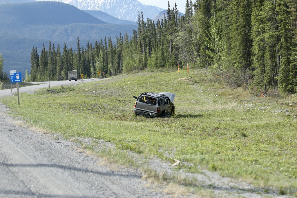
Up early, breakfast snacks on the road, and we set off towards Coal River again, to see if we could find some more Black Bears again, and we did, two good spots a well as moose, Bison and elk. We had also noticed someone had rolled a car nearby since our last stay and the wreckage remained just west of the lodge. We returned past Muncho Lake and headed east again, past Toad River, aiming for a hike near to the steel bridge across the North Tetsa River.
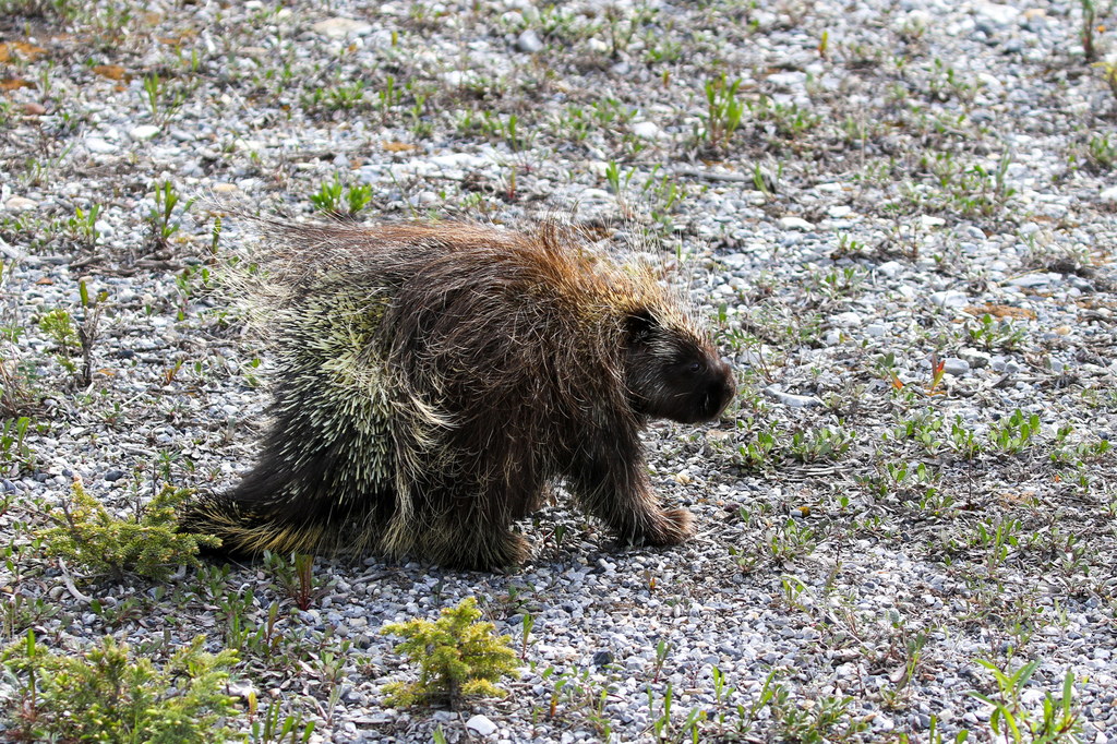
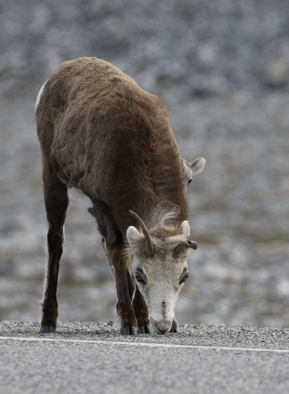
We spotted porcupine and clearly the stone sheep had now returned from vacation!
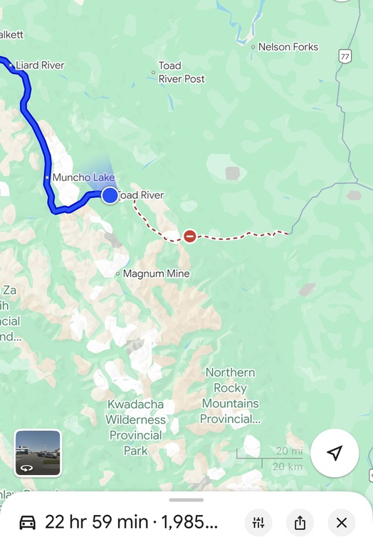
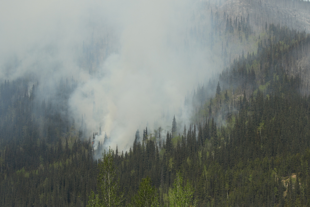
As we approached the hiking spot, we noticed lots of smoke, and as we got nearer, saw that the mountainside north of the river was on fire! We had noticed a lack of traffic heading west and would find out why a bit later! There were a number of helicopters (from Toad River as it turned out) and we decided that the hike was not a good idea in the circumstances.
We turned back and headed back to Toad River, where we found out the road, the Alaska Highway, was now closed there (also at Steamboat further east) and Summit Lake camping site was being evacuated! Obviously, the road had closed behind us after we had gone through earlier.
Toad River was busy, with frustrated travellers including truck drivers, waiting for news, but we still managed to get fuel and another tasty lunch…Toad River lodge had a captive audience and nice extra income stream. A few people were getting a bit angsty and saying they were just going through the closure, until it was pointed out by the truck drivers that a C$1500 and maybe arrest might not be such a good idea! Some were looking at the hyper long alternative going back to Watson Lake and south on the Cassiar.
We were fine to continue west to Muncho Lake, spotting some more caribou and moose, and later found out the road reopened at 9.45pm, and so was closed for about 11 hours.
Km/Miles driven: 471km/294m
Bear score: 2 Black bears.
Day 12 - Muncho Lake to Atlin
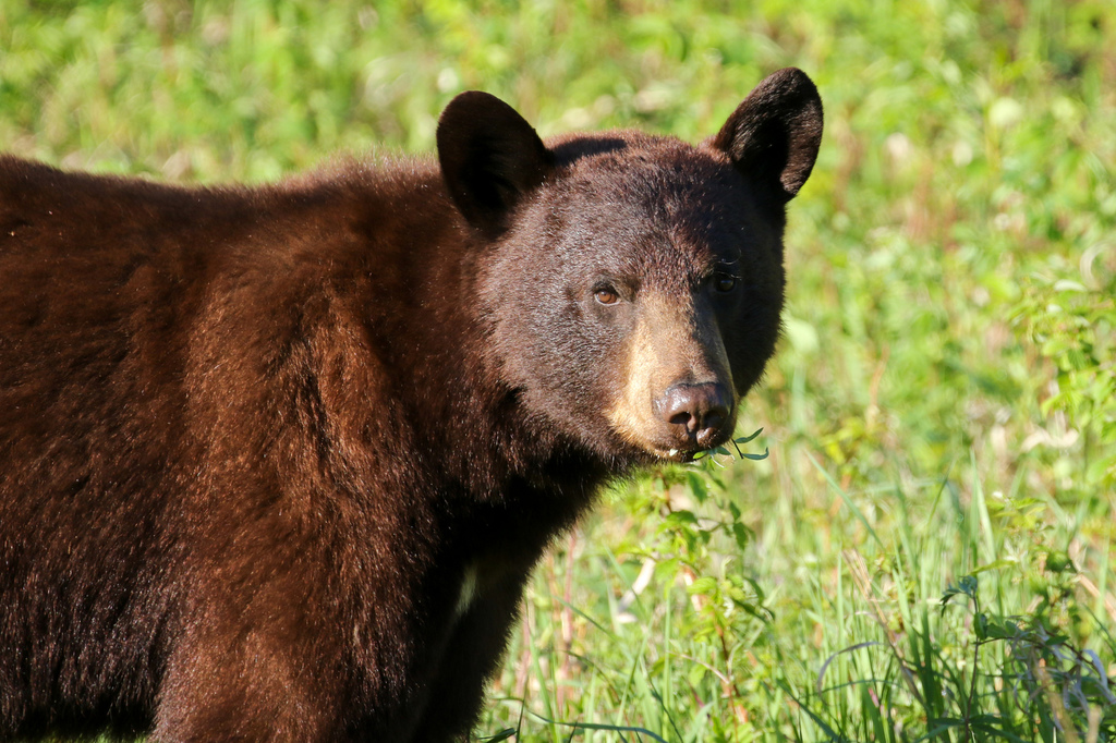
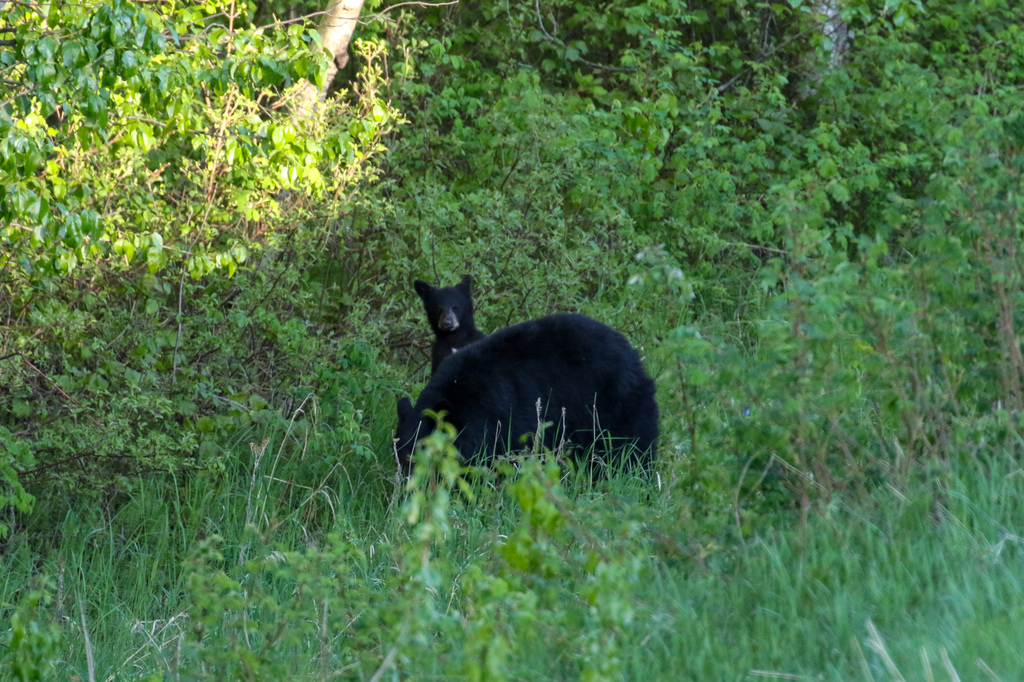
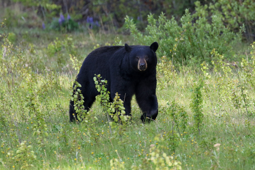
We were continuing our return towards Whitehorse, and again with an early start had good Black Bear spotting between Liard Hot Springs and Coal River along the Alaska highway, including a mom with a young cub.
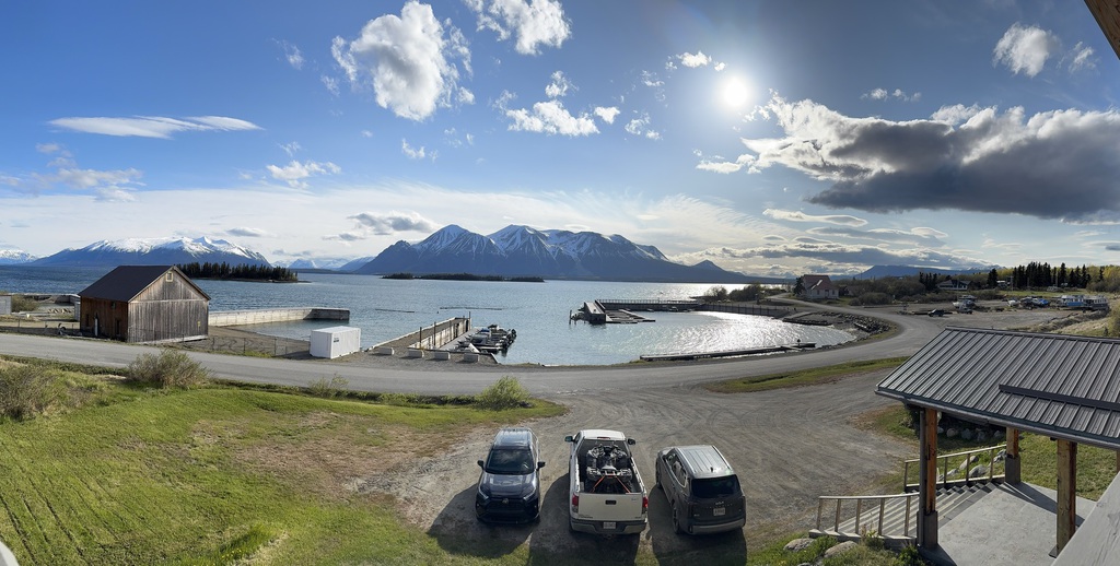
We got to Atlin mid afternoon and walked around the lovely town and a burger at the Mountain Shack before it closed at 4pm, then enjoyed the wonderful view from our room at Brewery Bay.
Km/Miles driven: 710km/444m
Bear score: 7 Black bears
Day 13 - Atlin to Whitehorse
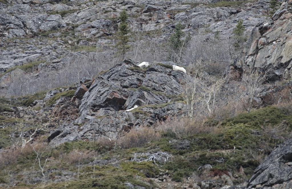
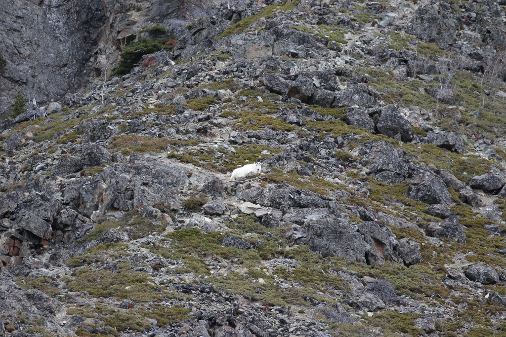
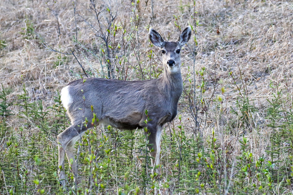
We left early and soon spotted an early morning deer and Black Bear along the Atlin Road as well as the perennial Mountain goats at White Mountain and some moose near to Tagish.
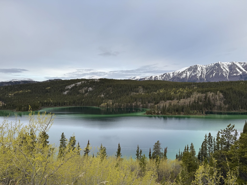
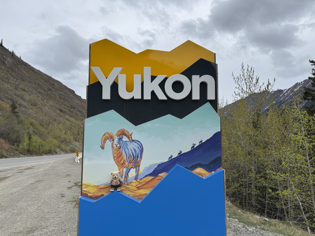
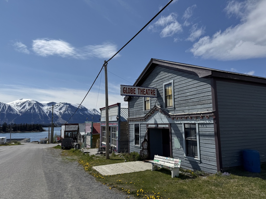
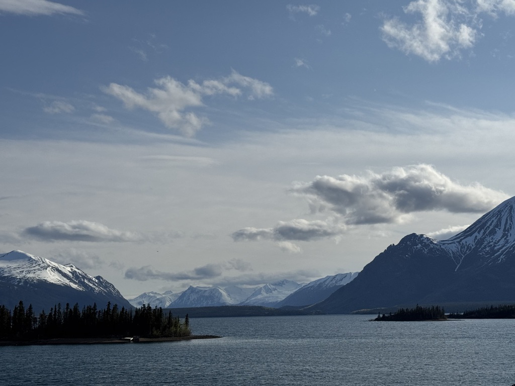
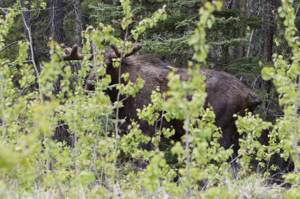
We again drove the South Klondike hwy to Fraser and noticed less ice on the lakes and many many more Cruise passengers on trips! Near to Log Cabin and the Yukon suspension bridge we spotted the next to last (Black) Bear of the trip, number 35, and the usual Mountain Goats near the Yukon sign and Conrad. We decided to drive the Tagish Road again after a look around Carcross for a short break, and spotted another shy but big Bull Moose.
Bear #36, and last of the trip was spotted alongside the Alaska Highway approaching Marsh Lake. Once at Whitehorse we went to the Visitor Centre for the’ free’ 3 day parking pass and then checked-in to the Gold rush hotel for our last night in the Far North.
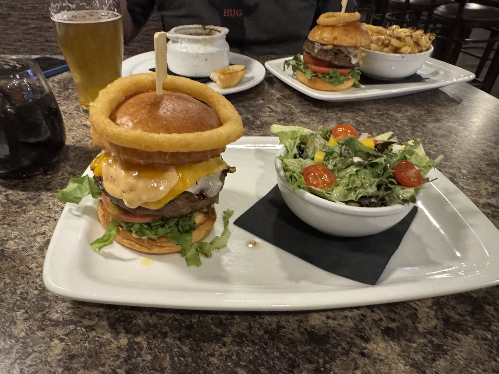
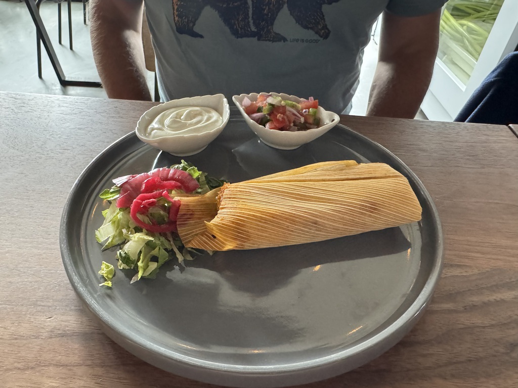
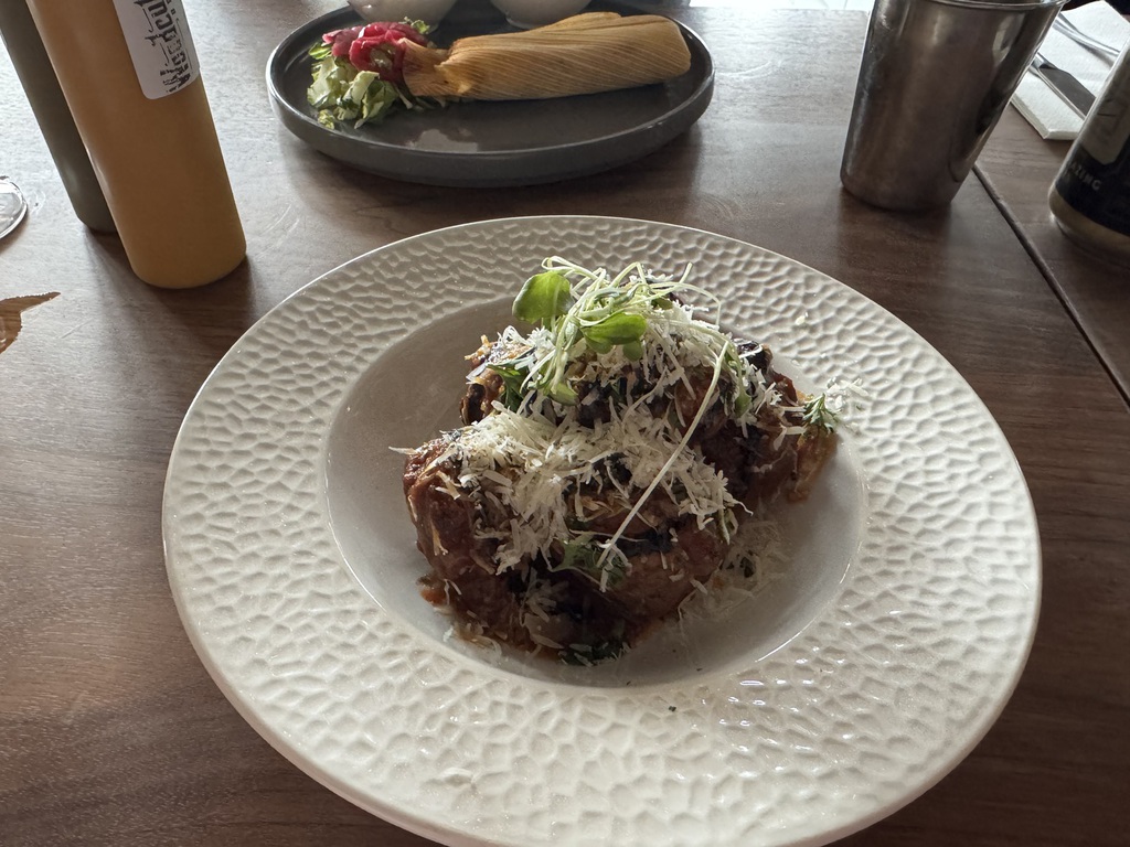
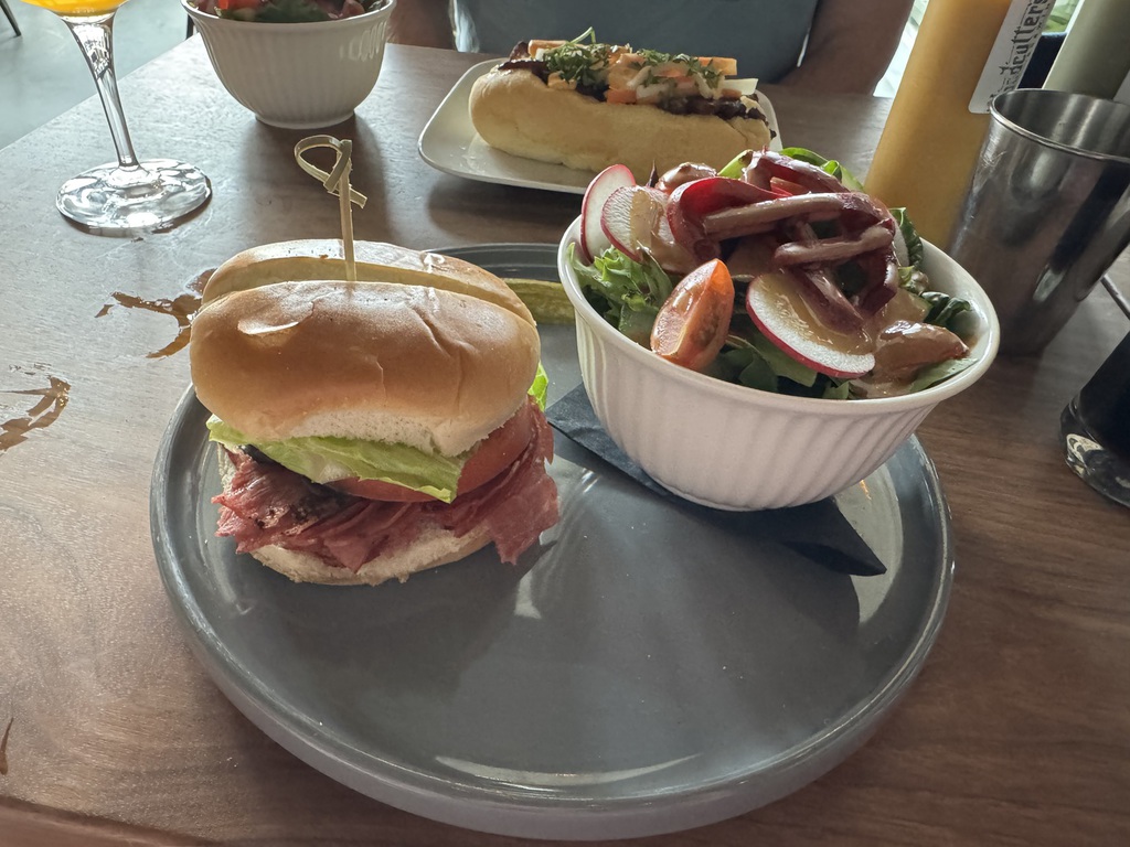
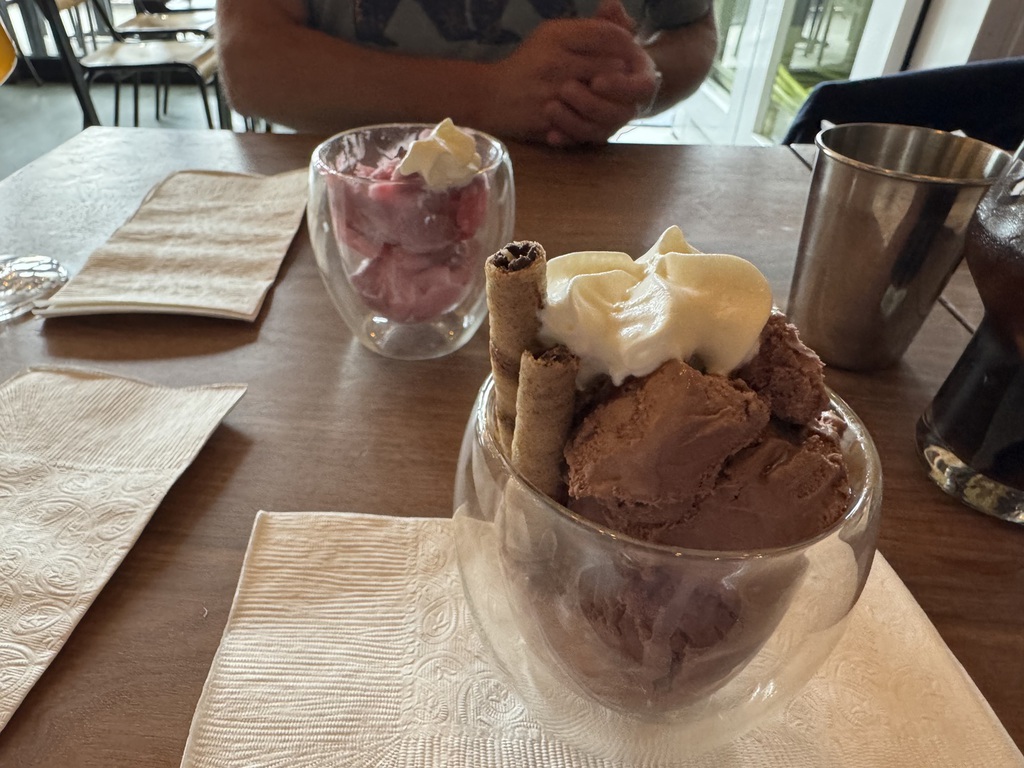
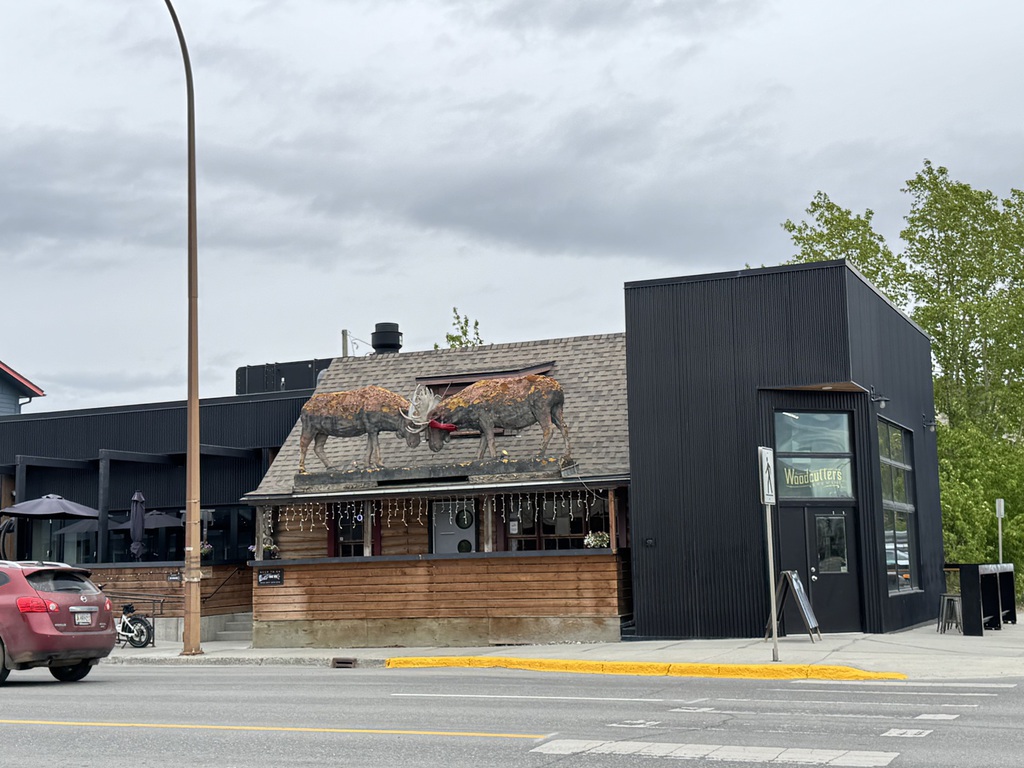
Then into town for a very nice end of trip meal at Woodcutters Blanket, courtesy of Amex, followed by the first Stanley Cup Final game and a beer or two at the hotel.
Km/Miles driven: 430km/268m
Bear score: 3 Black bears

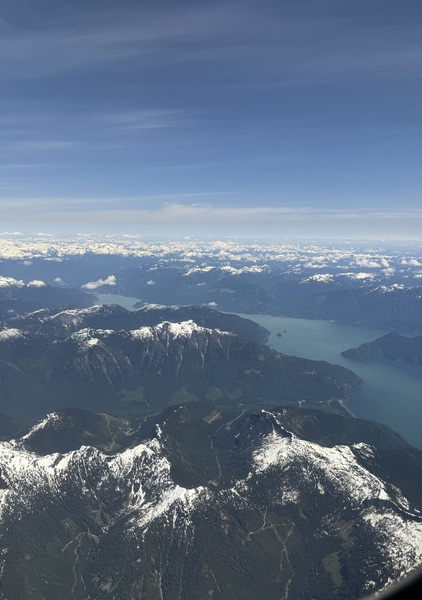
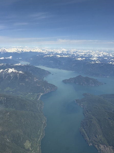
Day 14 - Whitehorse to Vancouver
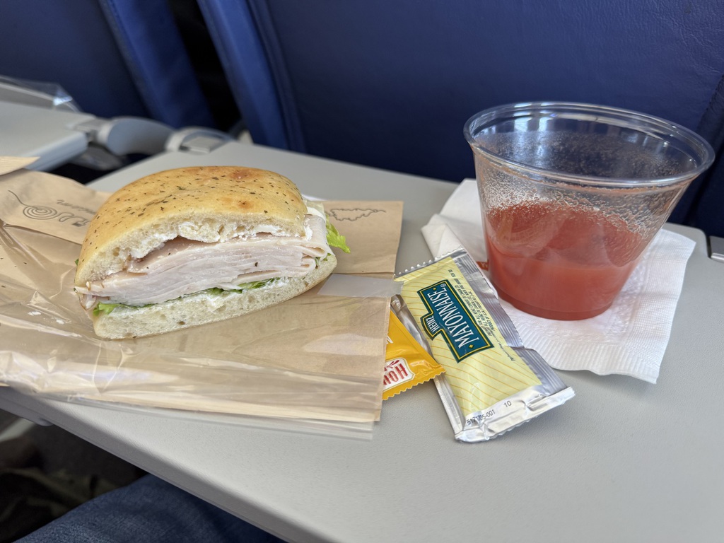
A late morning flight, so repacked and had breakfast at the hotel. Then returned RAH to the Driving Force lot at the airport, a drink in the bar and our Air North flight back to Vancouver.
On arrival, we checked back into the Fairmont and later met some plushie friends of Jarvis for a very pleasant chat and dinner in the hotel bar.
Km/Miles Driven: 7km/5m
Trip Totals: 6528km/4080miles
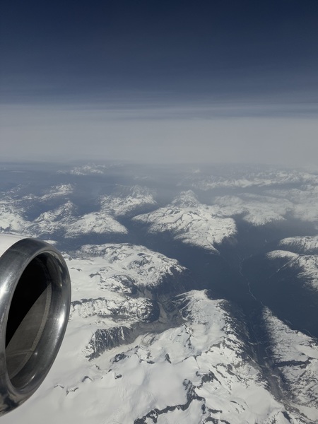
Day 15 & 16 - Vancouver to London
Breakfast at the hotel, late checkout, followed by hanging around in the lobby till we could bag drop. Then the ok Plaza Premium First lounge, no BA dedicated lounge at YVR anymore, watching Match 2 of the Stanley Cup Final. A fine overnight flight to LHR, followed by a very wet drive up the M40 home.